The
Highline Trail. Simple statement, complicated terrain. Why all the fuss? Well, there just so happens to be a rather large mountain biking event
I've thrown my attention towards. I've heard the stories, seen a few pics and watched the slow progress of riders advancing via
Trackleaders during the
AZTR750. I figured it may be a wise to pre-ride this stretch of
AZT, the piece that connects Pine to the top of the Mogollon Rim - 19.5 miles. Oh, and by pre-ride I mean hike. By all accounts there are copious amounts of bike pushing opportunities on the Highline trail, I'll save those for when it counts.
Cue the list of usual adventure suspects and we had a nice group of five willing to tackle a rather hefty one day outing. The plan would be to meet up at
THAT Brewery in Pine, drop a vehicle or two at the Pine trailhead, then camp out near the AZT on top of the rim.
We all met up within 45 minutes of each other, which was great considering we were all coming up from Phoenix after a work day.
Jeff & Nancy took shotgun in Mike's truck while Mark and I got cozy with all our gear in the pickup bed. At least I had my sleeping bag to lean against!
We found a good enough spot just off FR300 & AZT near General Springs cabin along a utility corridor, not the most picturesque of places, but it was already dark and we were only there for the night.
 |
| Deluxe accommodations. |
Mike's alarm went off at 4:30a and I was surprisingly well rested and ready to get moving. Soon enough everyone was stirring and we began chowing some breakfast and packing things up. We had talked about a 6a start the night before and I was pretty stoked that we met the goal!! Time to get after it.
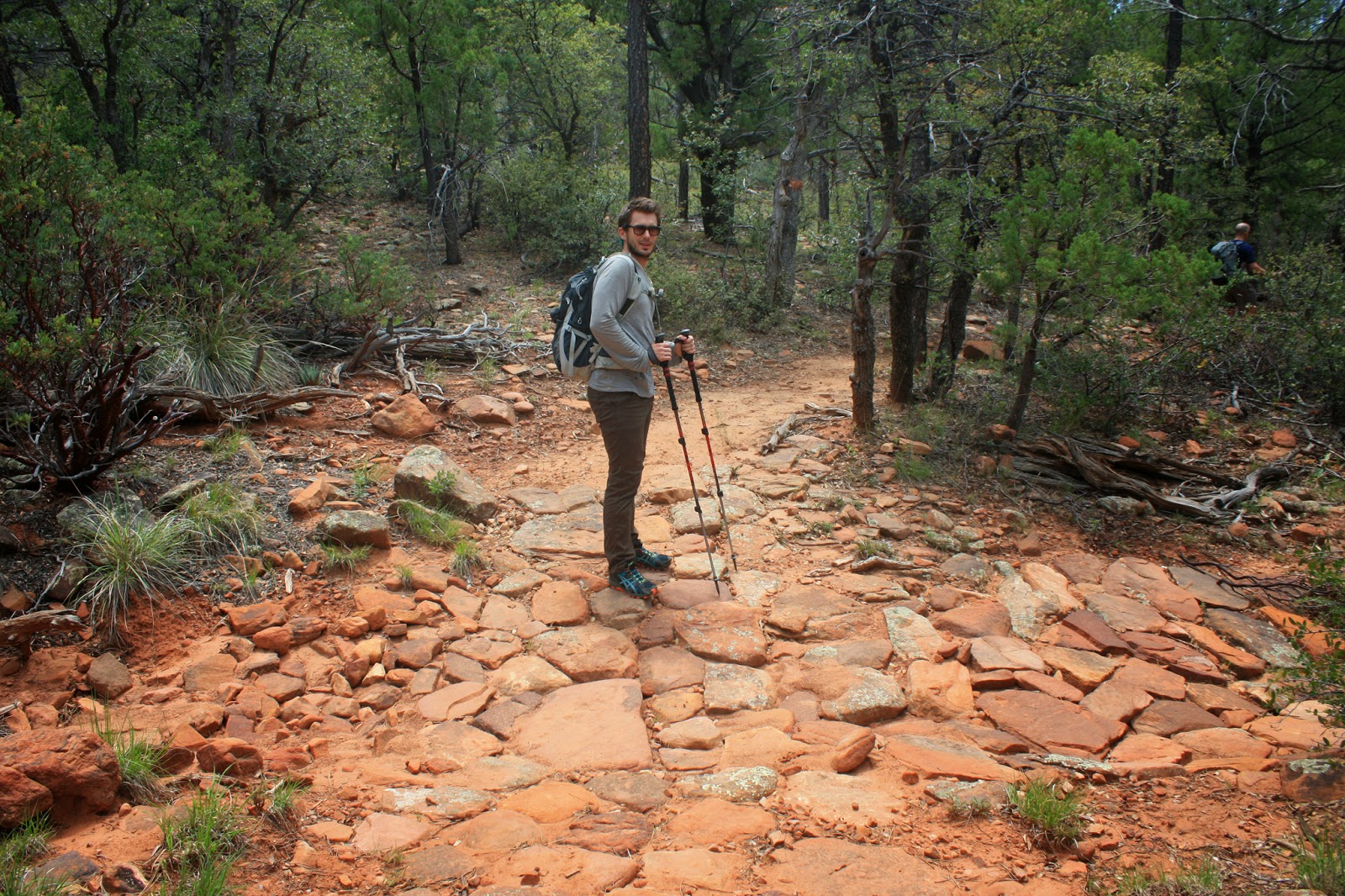
 |
| Mark and I ready to go. Like my ski poles? Photo by Jeff. |
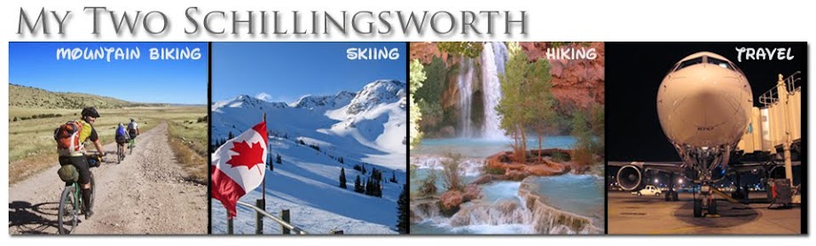
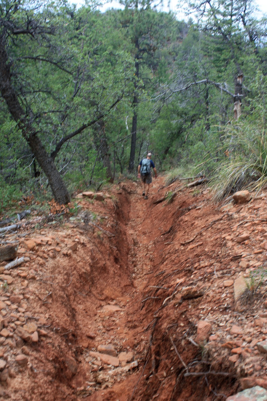
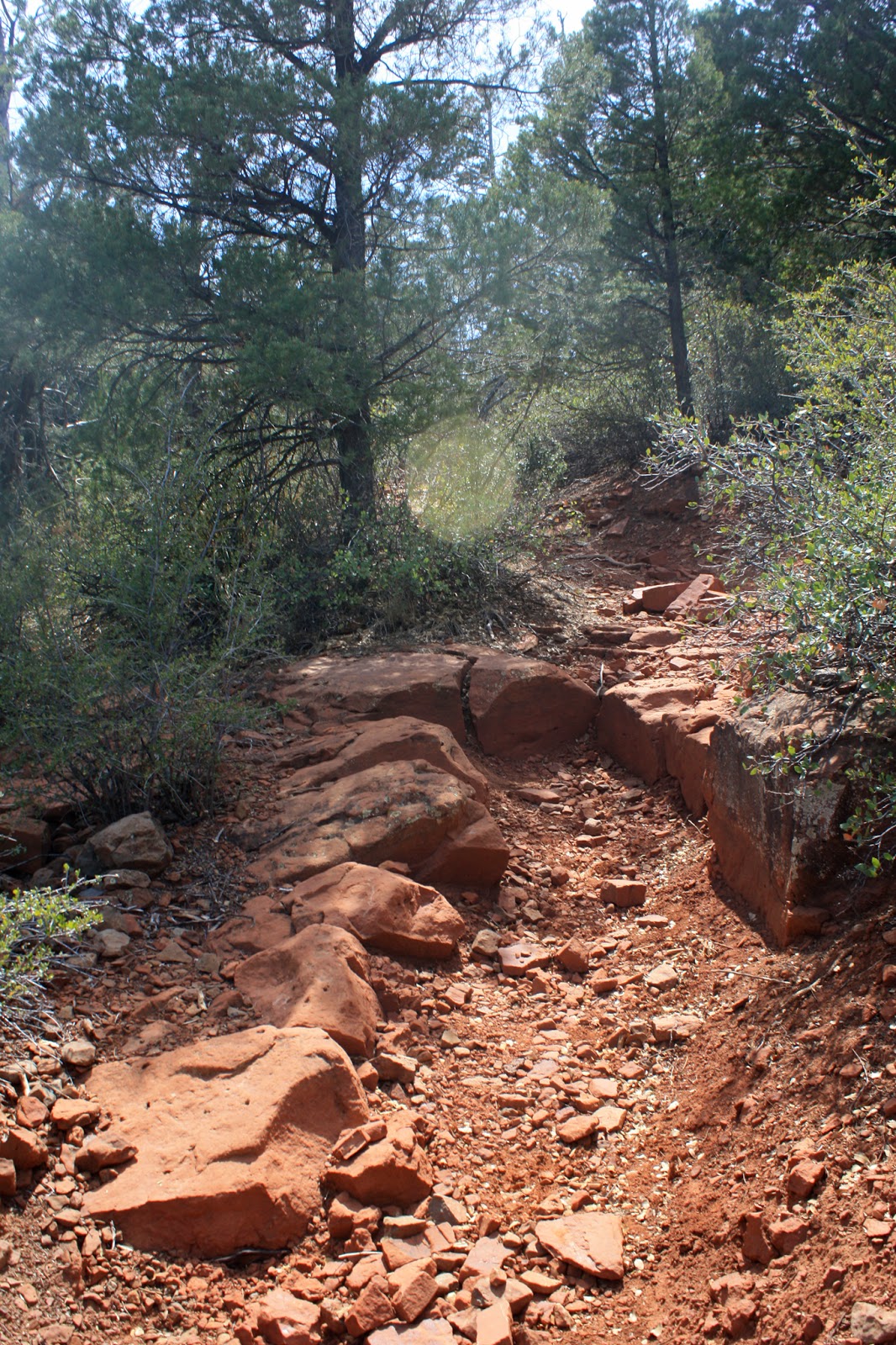
It was overcast & cool, almost looked like rain, but the forecast was favorable for the rest of the day. We started down the steep/loose terrain. Yuck. Mark and I immediately started cracking jokes about how much this was going to suck with our bikes the other direction. So keep that in mind, we were hiking down to Pine from the rim, while the AZTR750 goes up the Highline from Pine.
Barely a quarter mile into the descent I slipped on some loose rock and went down. Whoa. Hopefully this is the worst of the trail?
 |
| Jeff picking his line down. |
 |
| Yep, that's the trail. |
 |
| Jeff & Mike nearing the bottom. |
 |
| Mark at the bottom of the descent. |
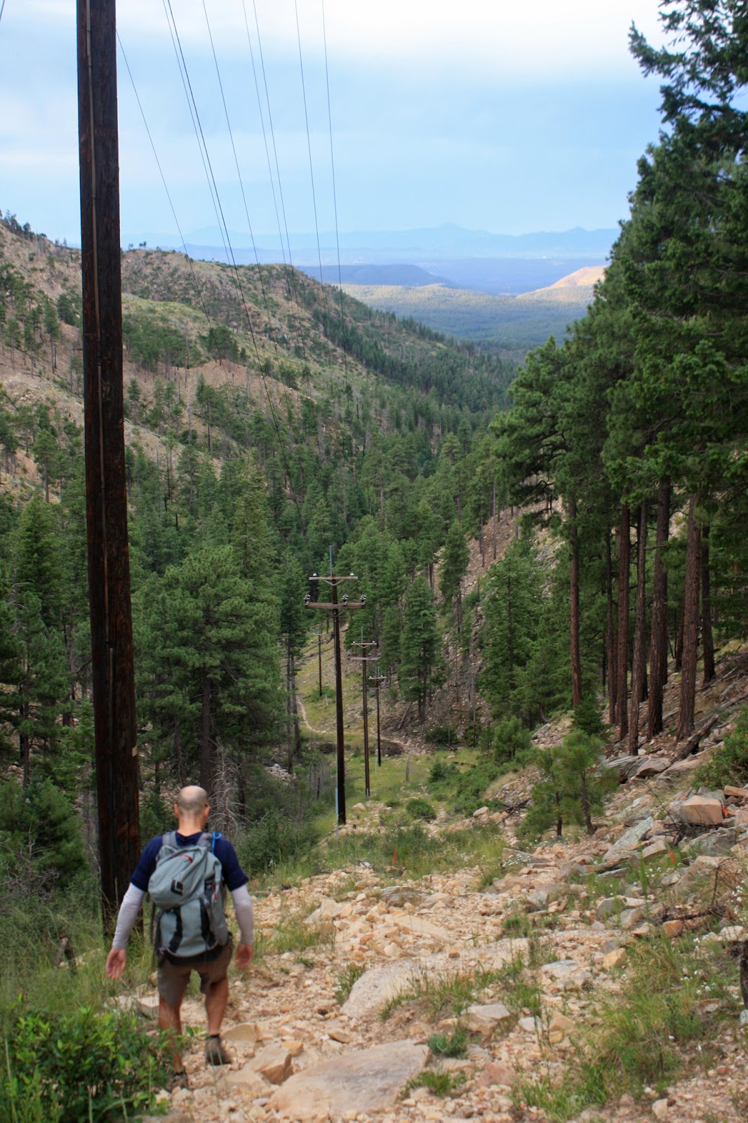
While the others were catching up, I was looking at the AZT sign in the picture above wondering why it was pointing to the right. From other reports we all had heard about the nasty final push up to the rim. We clearly started down on the AZT. Did we somehow miss a turn? Where? There didn't seem to be a whole bunch of options since we were dropping down a drainage following a powerline corridor. Then Jeff posted his pictures after the hike and guess what he accidentally captured? See below photo:
 |
| Mike near the top, but what's that on the left going into the trees? Yep, AZT. We all missed it!! Photo by Jeff. |
I guess I'll still have 0.4 miles of new-to-me AZT to bag on this section next April.
At the bottom the trail became more friendly and we started seeing some small water crossings which fed the East Verde River.
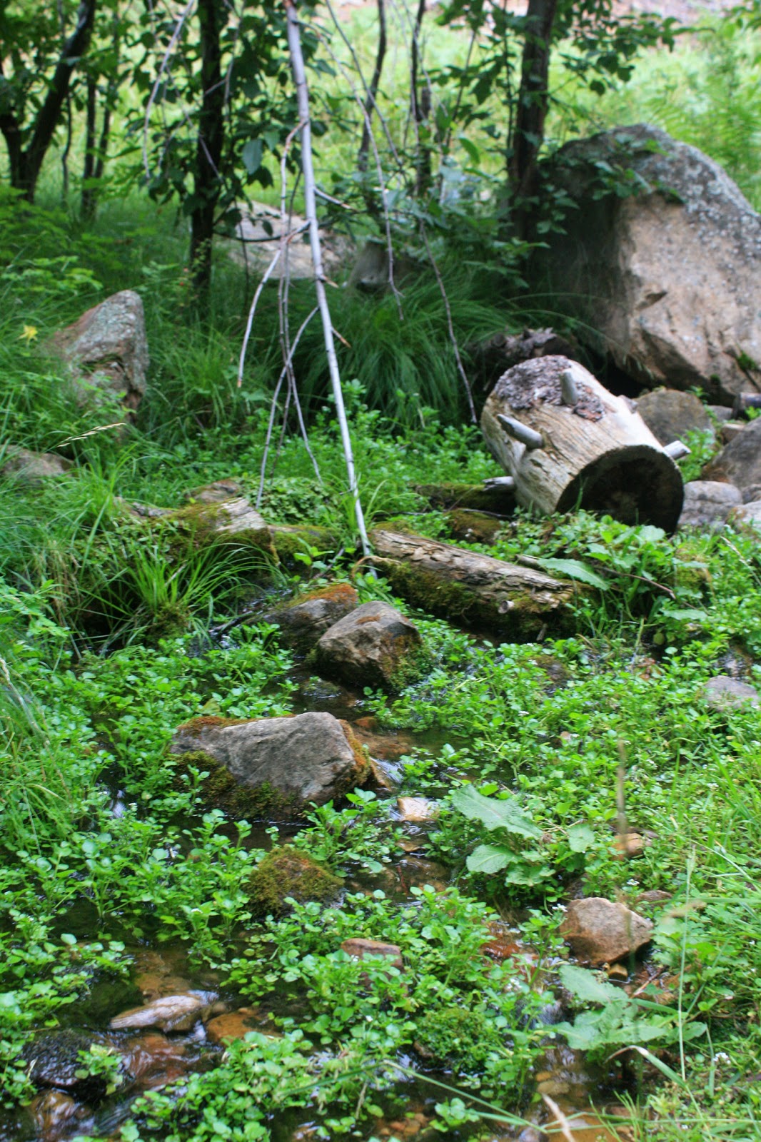 |
| Plenty of water sources over the first half of the hike. |
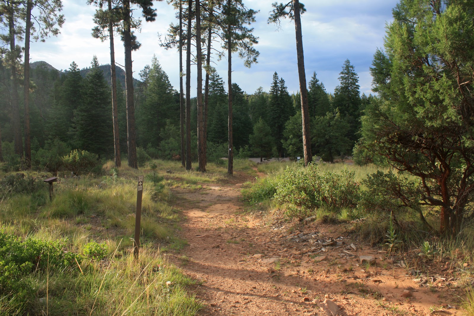 |
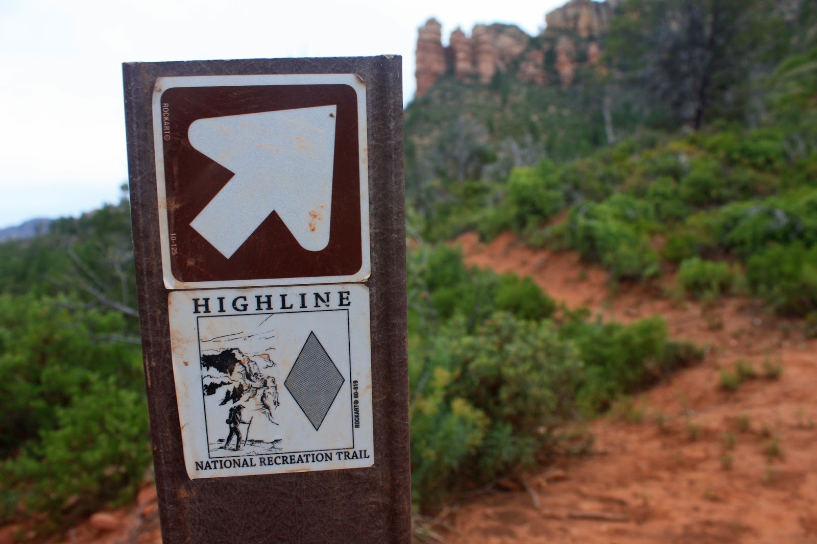
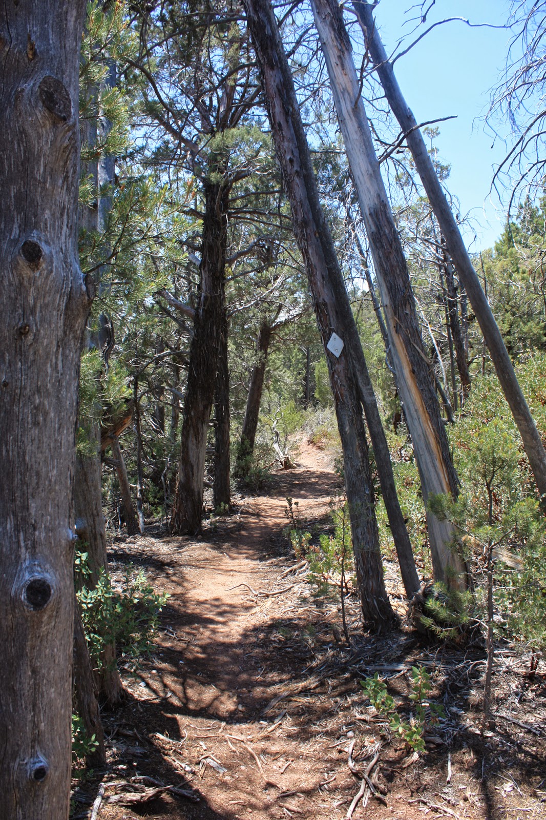
| Washington Park trailhead, we turned right officially merging onto the Highline trail. |
 |
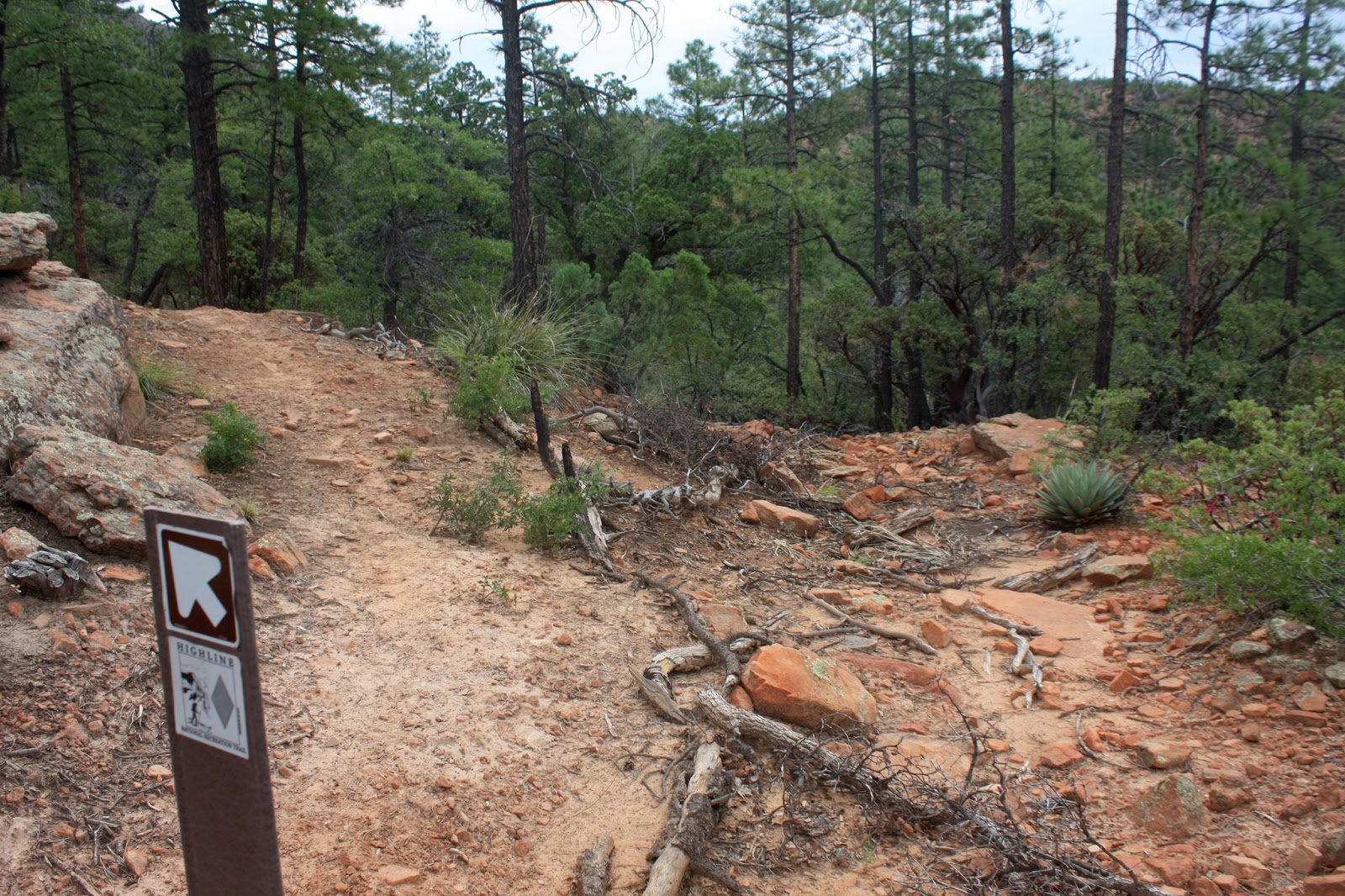
| Heading west into the tress from Washington Park, 1.9 miles from the top of the rim. |
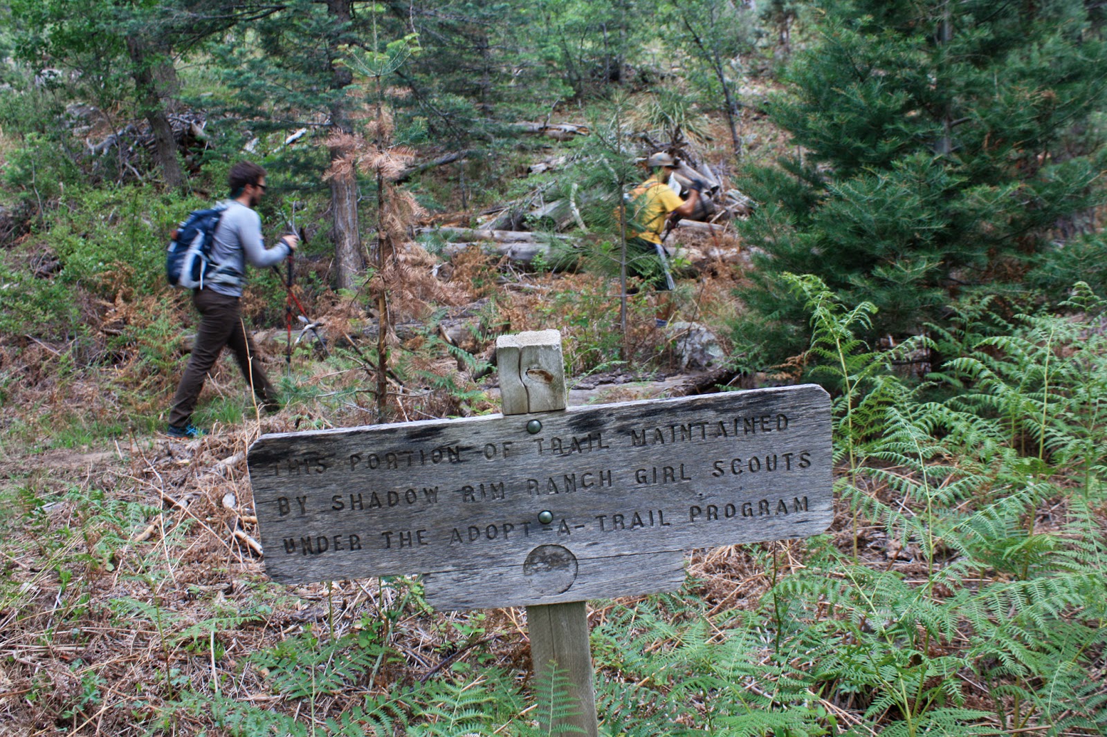 |
| We did notice sections of trail getting some much needed TLC, the Girl Scouts stepping up to the plate through here. |
 |
| Still under the cover of clouds, but it was a bit muggy. Caught Nancy posing!! |
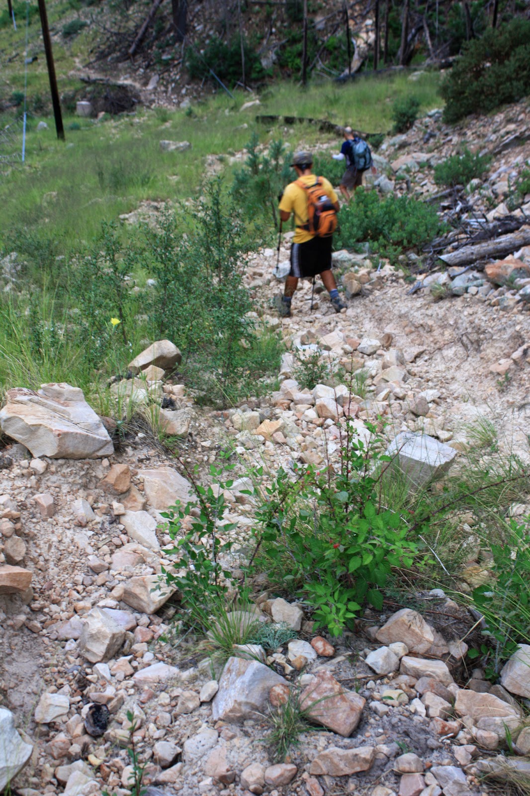
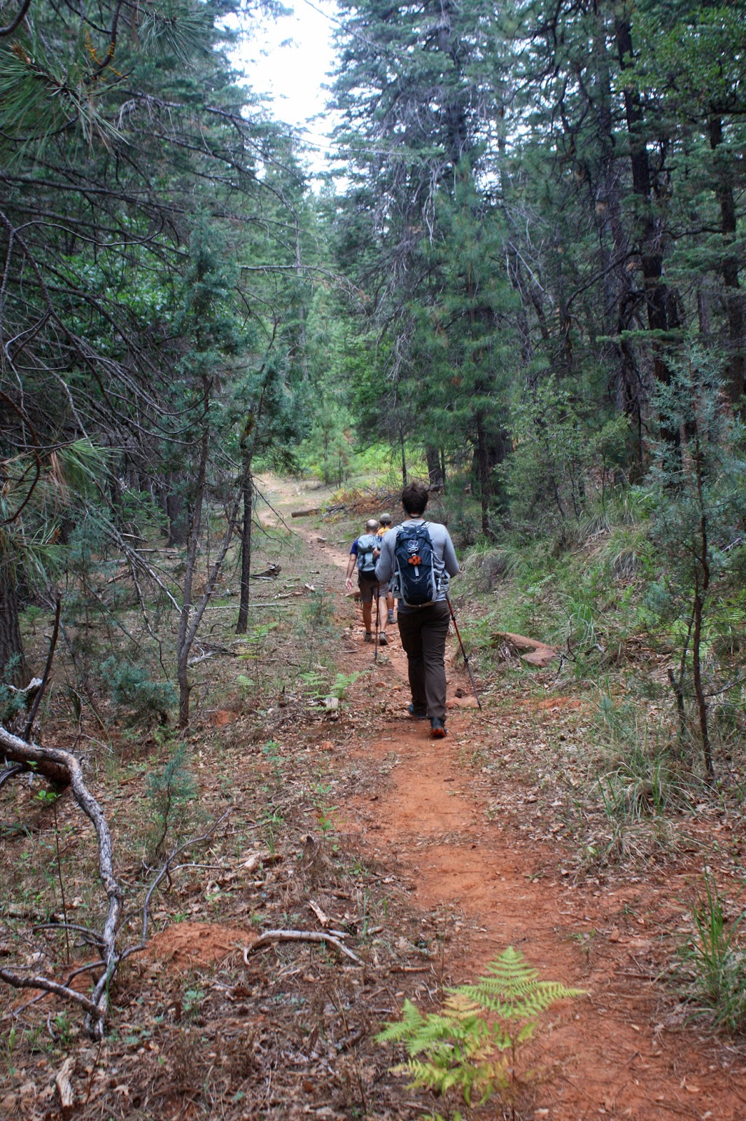
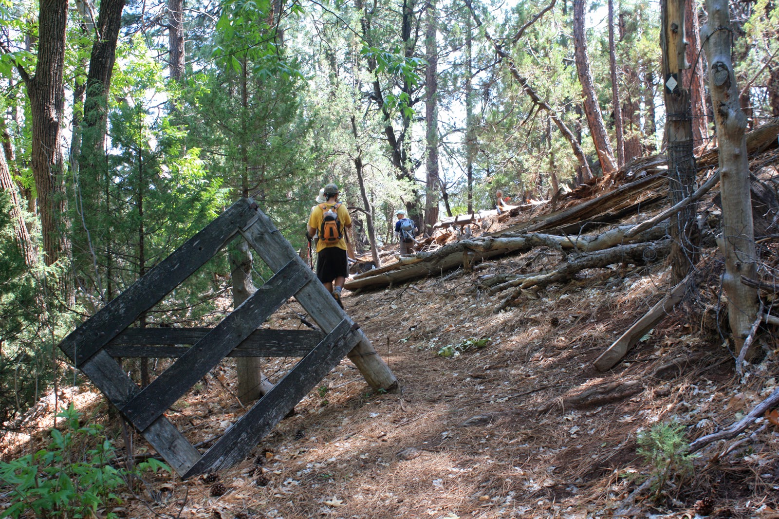
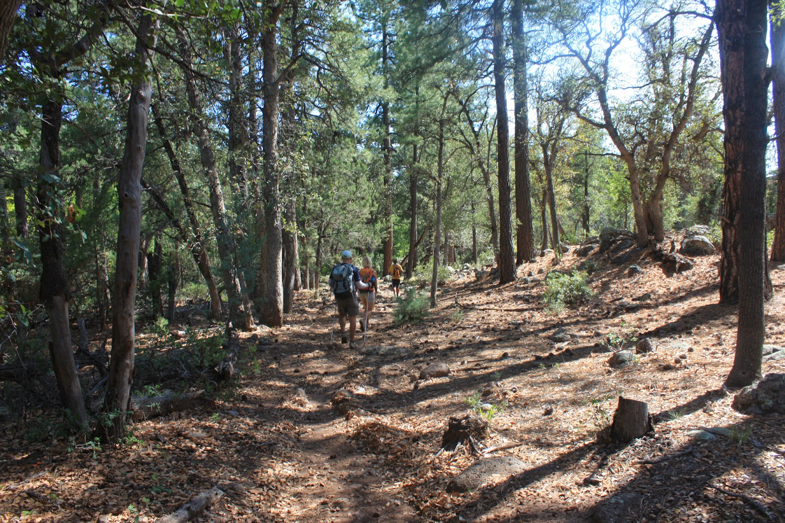
The trail for the most part was surprisingly good, plenty of rideable sections with the occasional HAB thrown in. At least that's what we're telling ourselves!!
 |
| Sure looks nice through here!! |
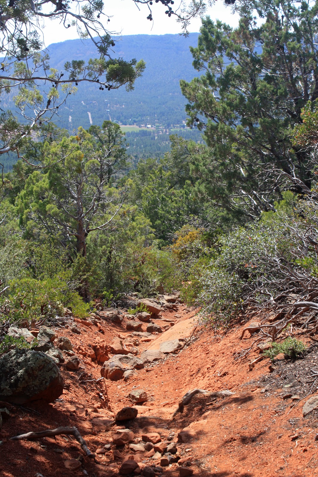
 |
| Does this remind anyone of Sedona dirt? |
 |
| Ok, this may be a problem!! It's only a short section. |
 |
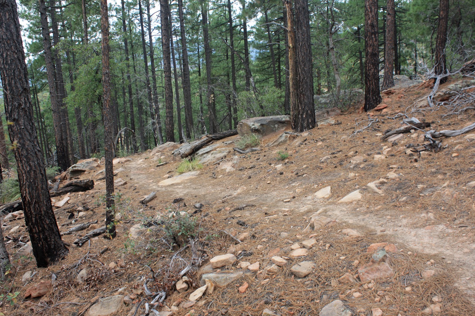
| Well contoured trail was found too. |
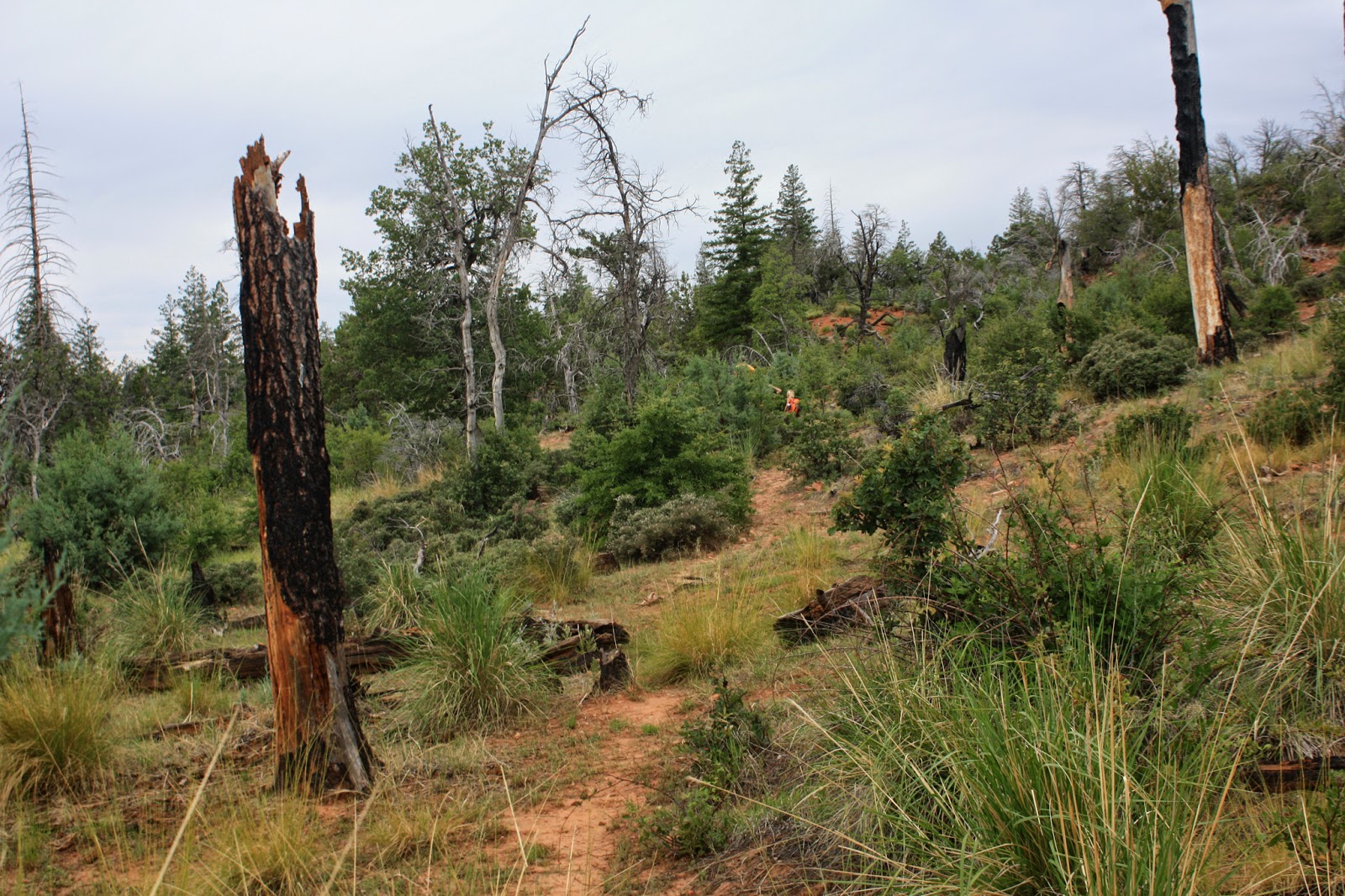 |
| Short vague section through an old burn area. |
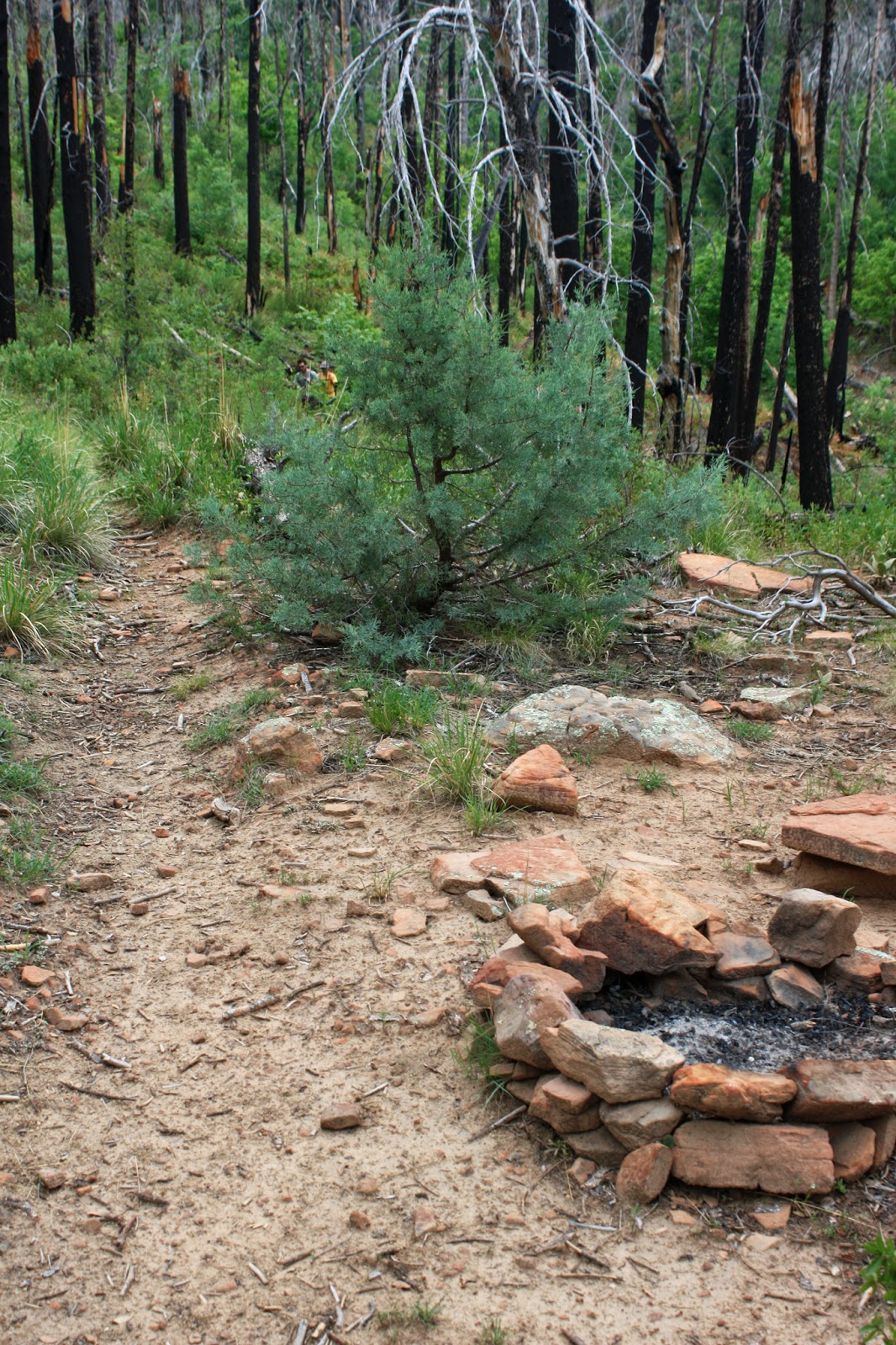 |
| Close to the halfway point, could make a nice camp spot if needed. |
 |
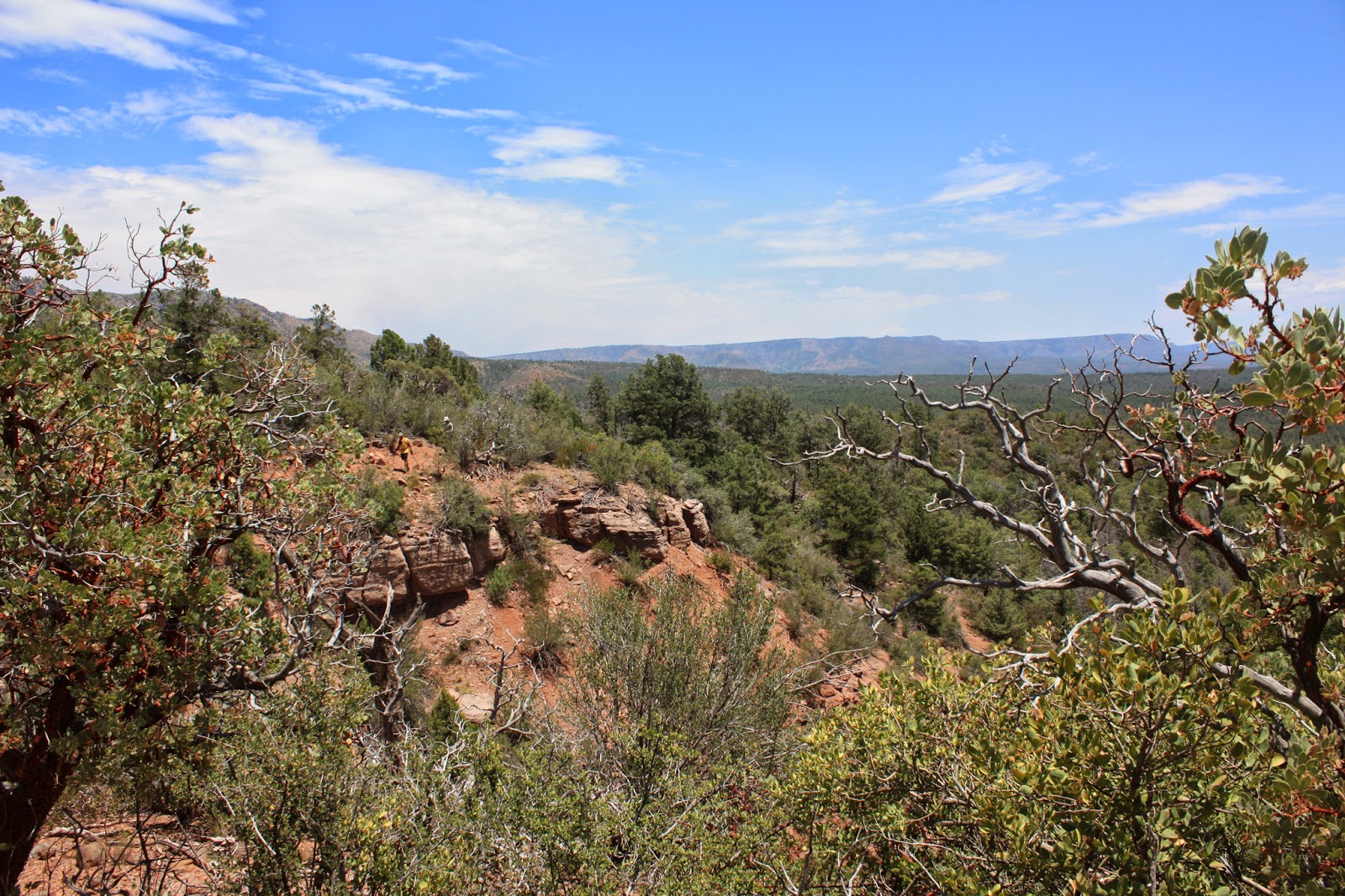
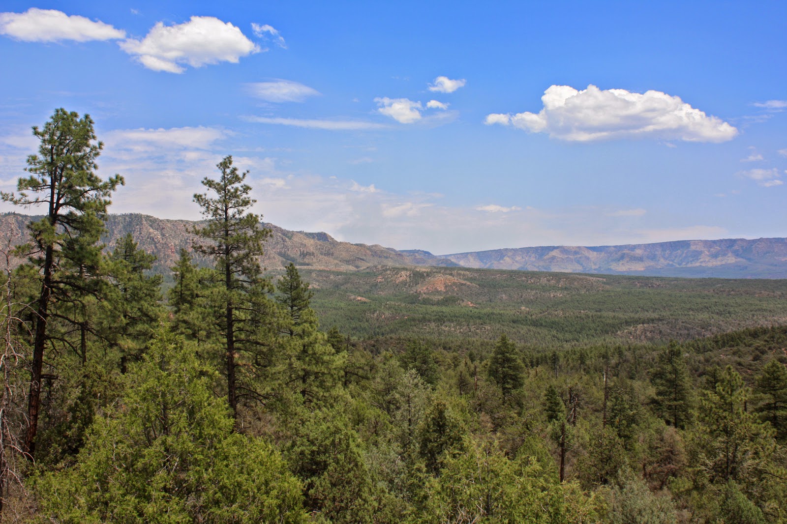
| Views of the Mazatzals |
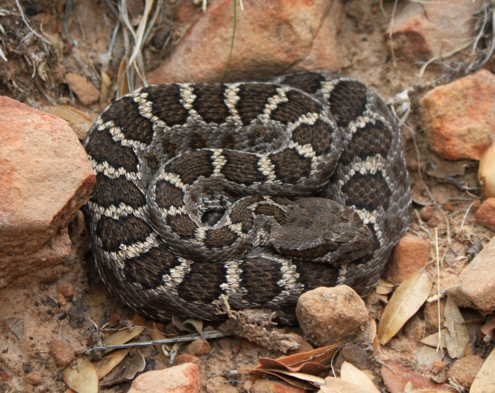 |
| Jeff warned me of an upcoming snake off the side of the trail, cool looking fella. |
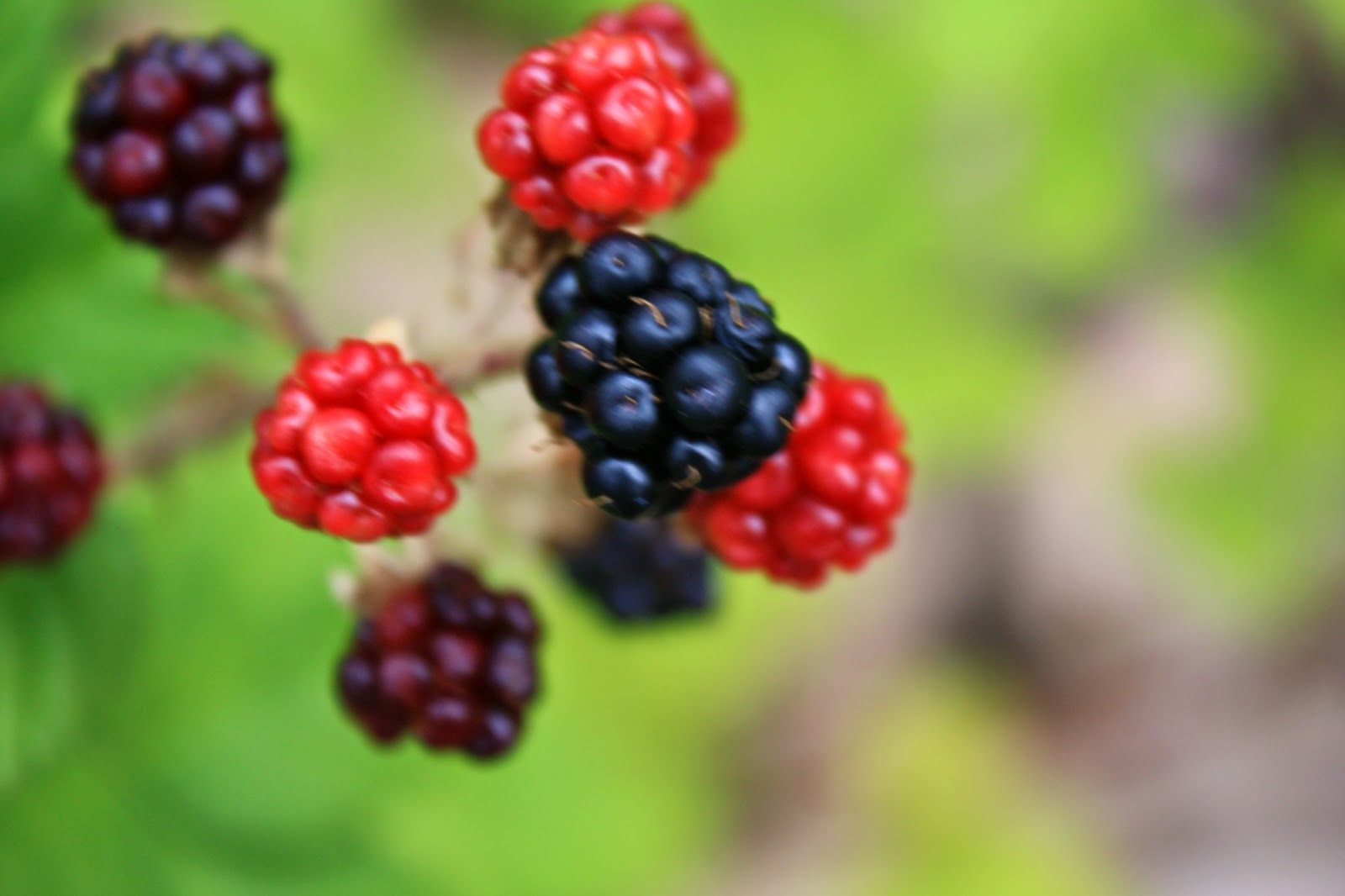 |
| Wild blackberries!! |
A short ways past the blackberries, we crossed a spring that was flowing through a flex hose. We could hear the rushing water, but also noted a more audible sound coming from up the embankment.
Deer? Elk? Bear?!? Our imagination started running rampant as we heard the branches crackling, whatever it was sounded
BIG. Then Mike noticed a rather large plume of water spraying from the hose...up on the hillside making all the racket!! Funny what your mind does when you let it get away.
 |
| More touches of Sedona along the way. |
 |
| Moments later we could have been in Flagstaff or Prescott. |
 |
| Good tread or bad, the scenery was solid all day. Photo by Jeff. |
 |
| A fine example of trail re-routing. |
 |
| Tools of the trade. |
 |
| Over halfway and the clouds were about to move on. |
 |
| Layered Mazatzal range view. |
 |
| Mark having tile installation flashbacks. |
 |
| Yes please, may I have a few more miles of this? |
 |
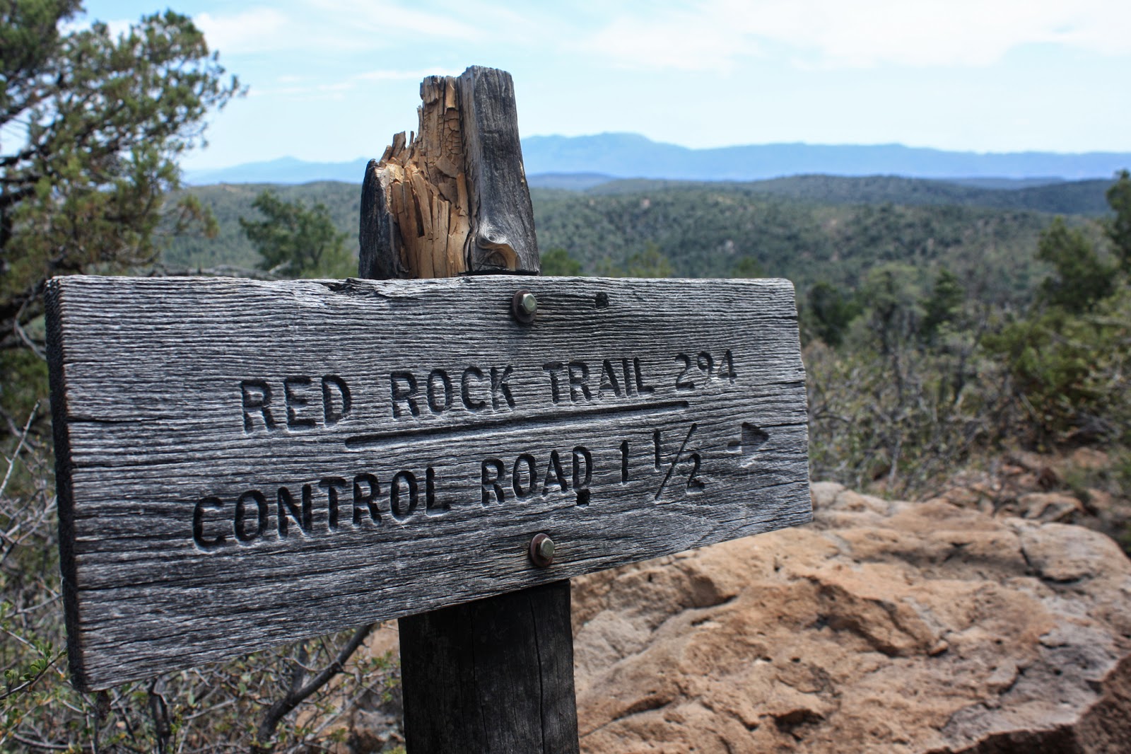
| Roughly 11 miles into our hike, the Geronimo Trailhead. |
There was a sustained downhill into the Geronimo trailhead, good trail surface, but will probably be too steep to ride up. On the walk down the trail I noticed my left knee was starting to bother me. IT band? Never had an issue with it before, so I kept notice as the day wore on. It was only bugging me on the steeper downhill sections thankfully.
 |
| This map displaying the 50 mile length of the Highline trail. |
 |
| I hope this sheet is still there in April. |
 |
| Leaving Geronimo. |
 |
| Bray Creek, the last water source but we were all good. |
 |
| Still 8 miles to go. |
 |
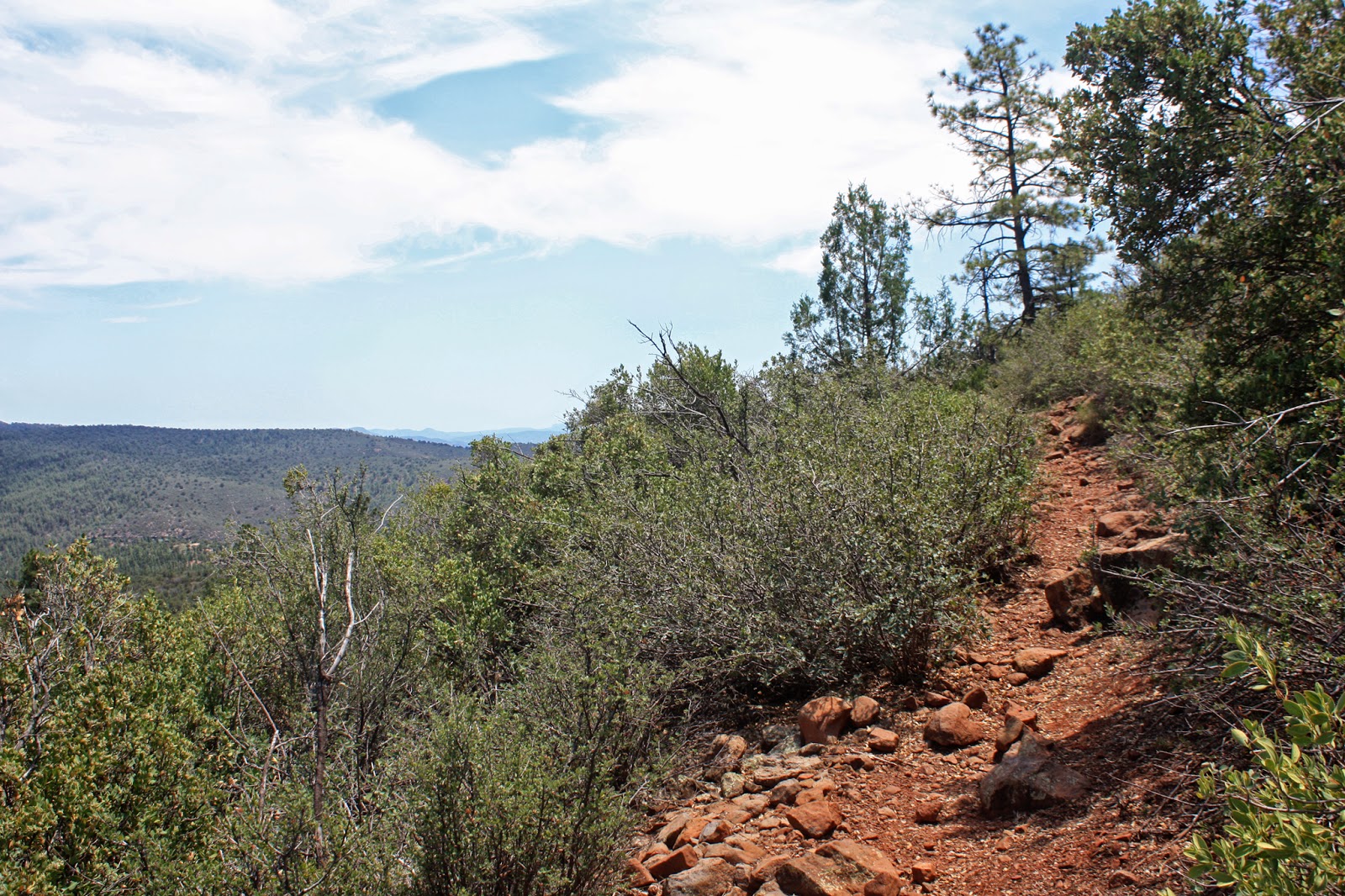
| Is this really the Highline trail? |
 |
| Looking back, we've come a long way!! |
 |
| Knee troubles persisted, so I popped a couple pills by this tree. This also marked the beginning of a long tough section of trail. |
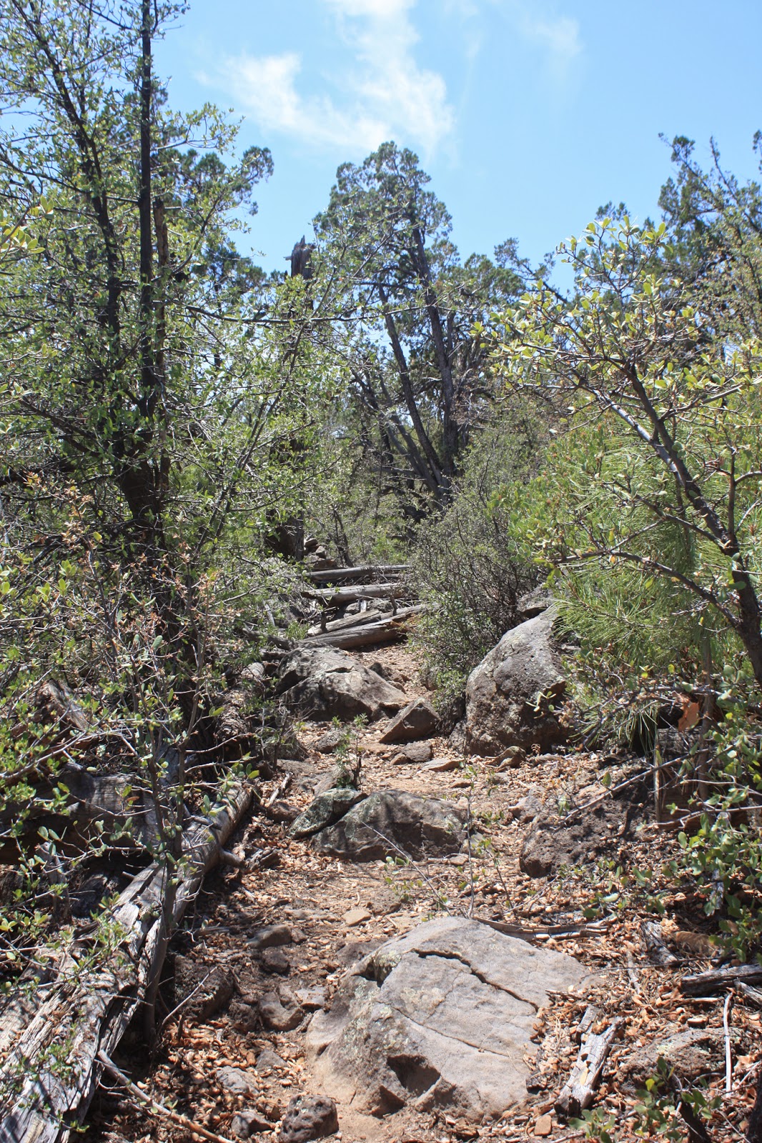 |
| We started to come across longer trail snafus, more tech, more rubble. |
 |
| The low point on the horizon is where we dropped off the rim earlier in the day. |
 |
| Steep & loose. |
 |
| Near Pine Spring. |
 |
| Quite a few spur trails off of the Highline. |
 |
| Some of the contouring looked nice, but even that had a slippery surface. |
 |
| A portend of shameful downhill HAB?? |
 |
| Chunder abounds. |
 |
| Finish line coming into view, AZ87. |
 |
| Top of the final descent into Pine, knee aching, I let the others go while I took a few minutes to gather myself for the slow steep downgrade. |
The final two miles were not pleasant at all. I had to make a concentrated effort to lead with my left leg whenever a ledge drop approached. I have never experienced as sharp a pain like that while hiking. Hopefully it's more of a system shock, since I hadn't hiked all that much leading into this one. Prior to next April I will have plenty of hiking miles under me.
 |
| The trail finally mellows out over the last mile or so. |
 |
| This part will be easy, right? |
 |
| Finish line!! |
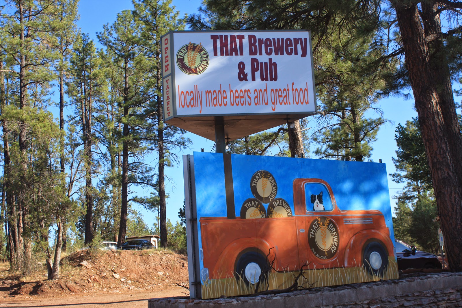 |
| Time to celebrate. |
The brew went down easily and after chowing down Jeff & Nancy parted ways. Mark & Mike loaded up and I shuttled them back up to the rim. They were camping out one more night and we found a perfect new place right on the rim's edge. We also checked out a few General Crook trail crossings for a potential exploration ride along the historic route. Here's a two part history of the GC trail:
part I,
part II. Here's another
great resource for trails in the area.
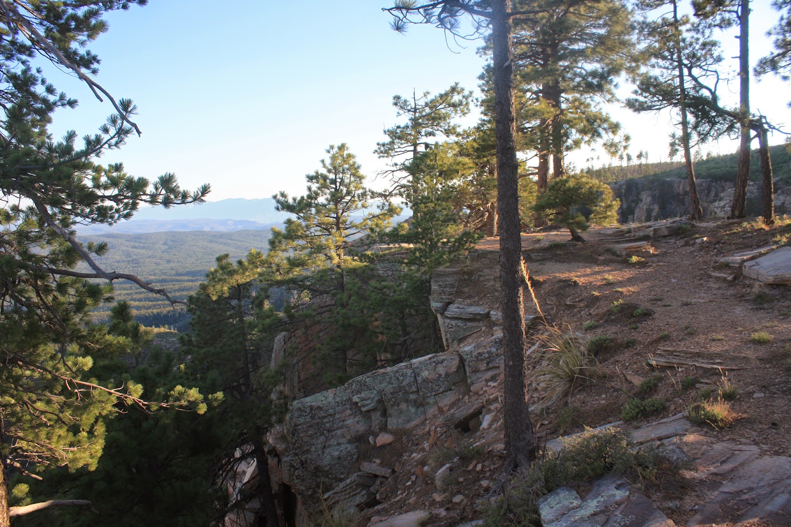
It was a great day scoping out the Highline, really glad we did this pre-ride, errr, hike. It will be interesting to see how Mark and I fare going the opposite direction with loaded bikes next April.
 |
| Future bikepacking route? |
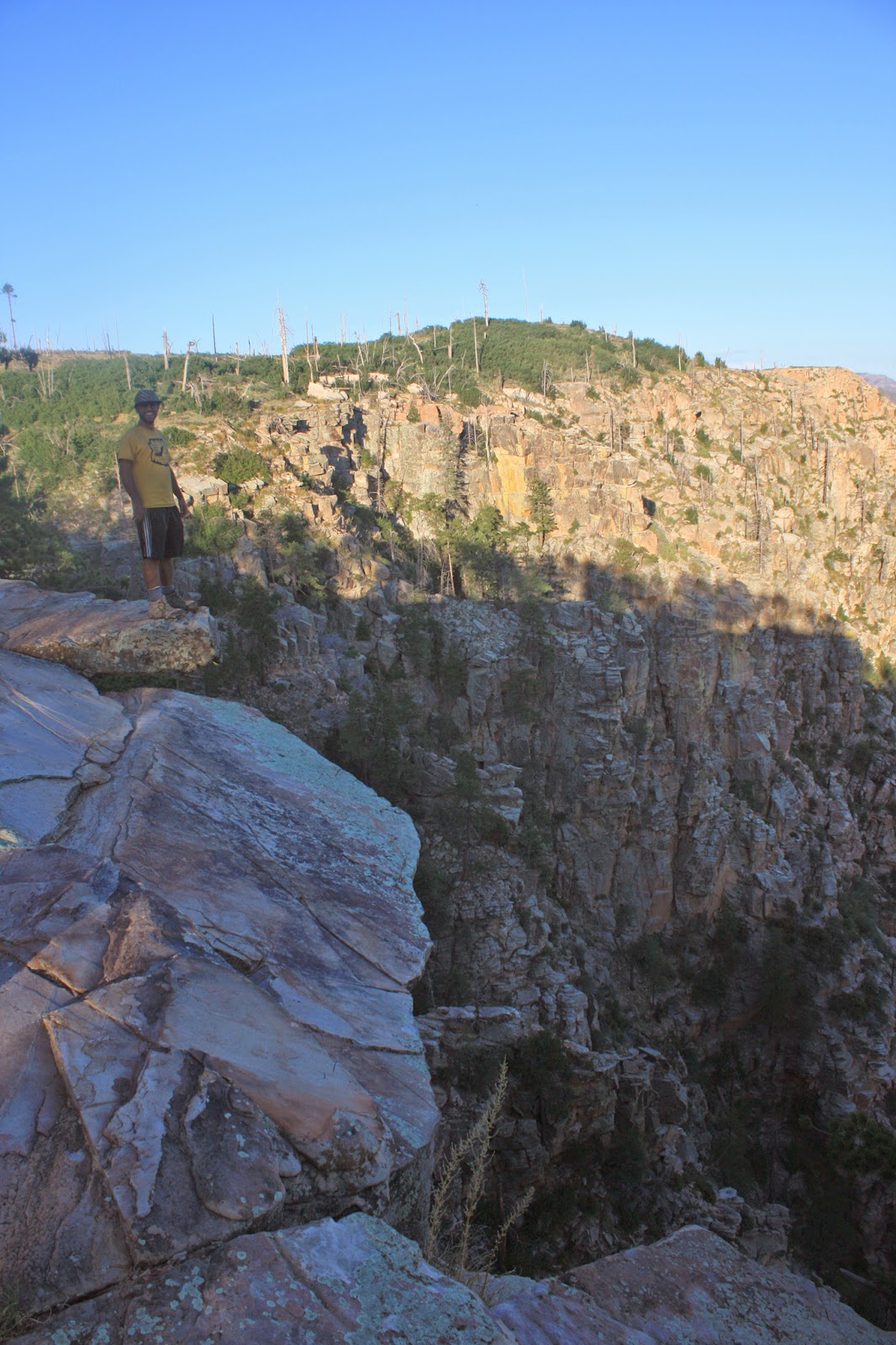 |
| Mike on the precipice. |
 |
| Camp site for the fellas on night #2. |
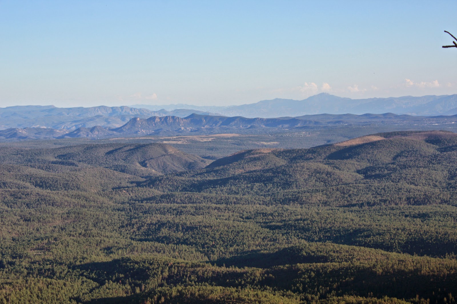 |
| High peak(s) on the horizon: Four Peaks. |
 |
| Thankfully I didn't realize I had this monster brewing until I changed my shoes/socks!! |
 |
| One of 4 historic cabins, General Springs, on the Cabin Loop trail system. |
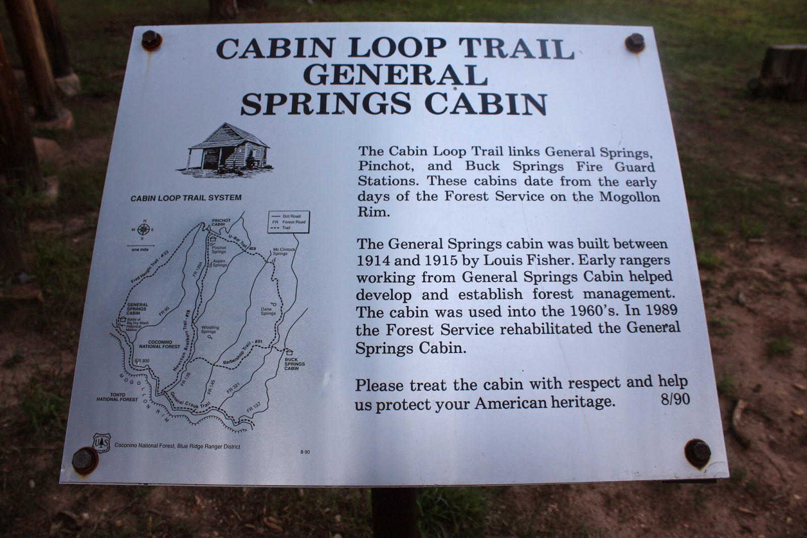 |
| History snippet. |