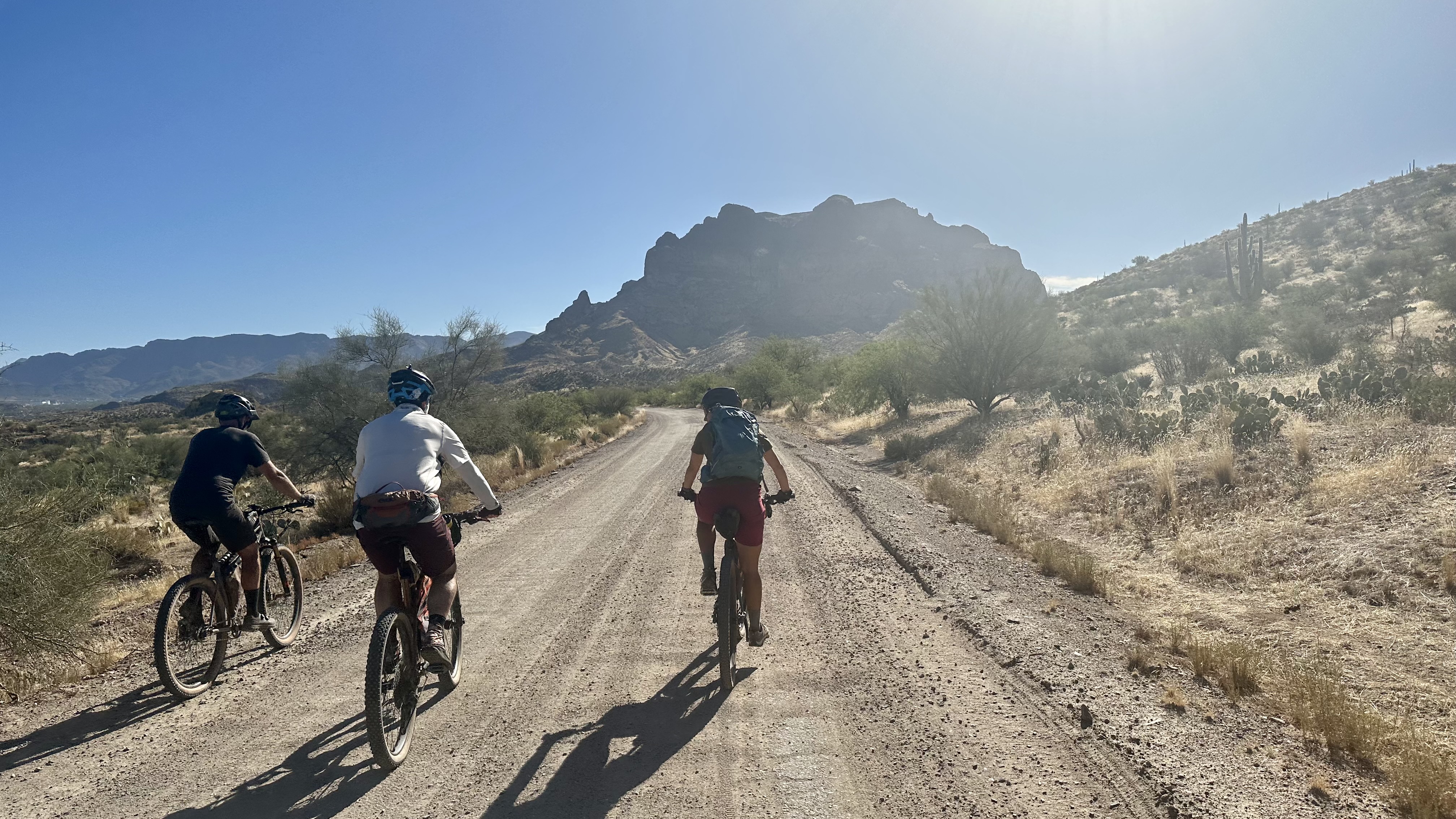
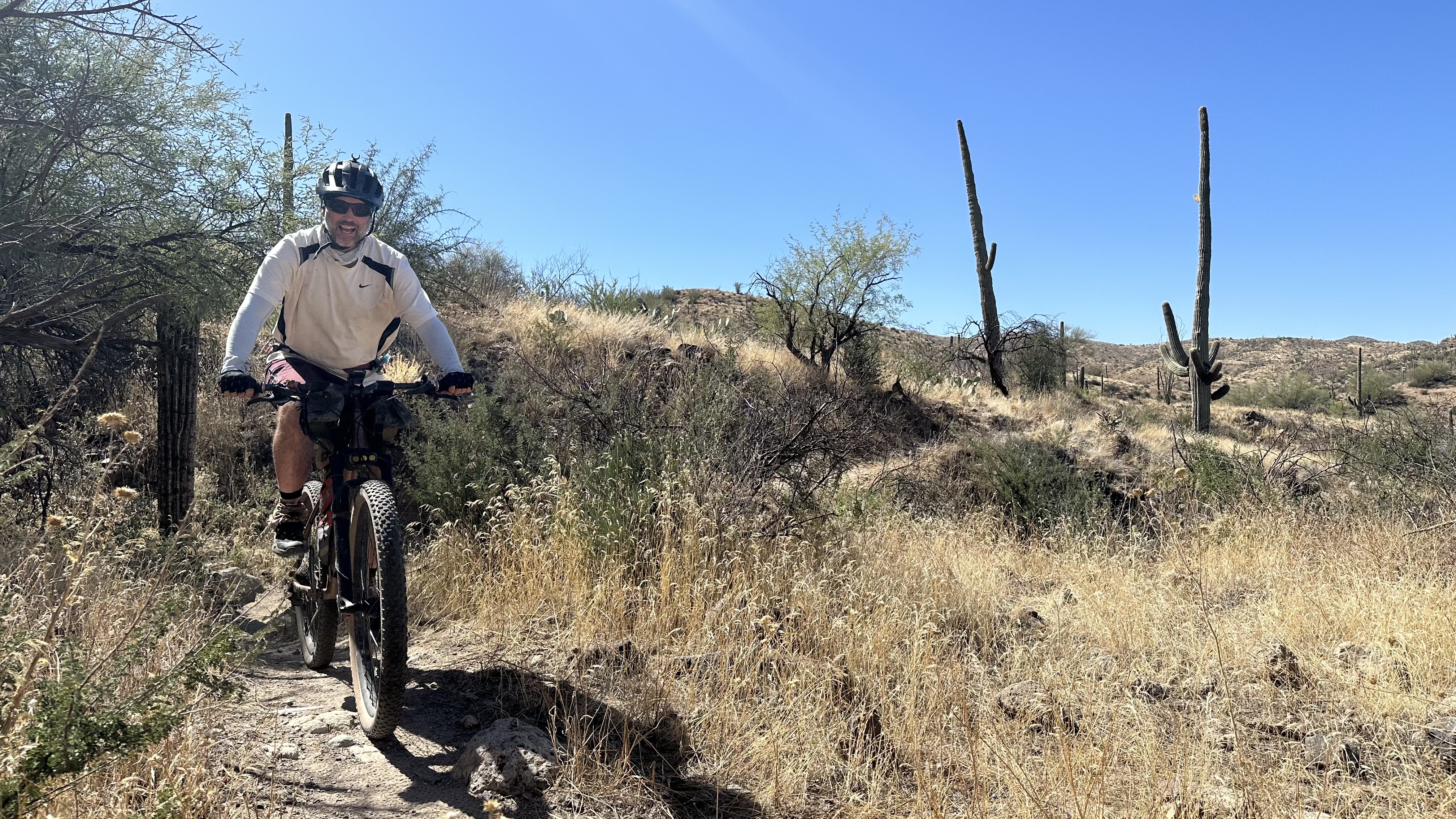
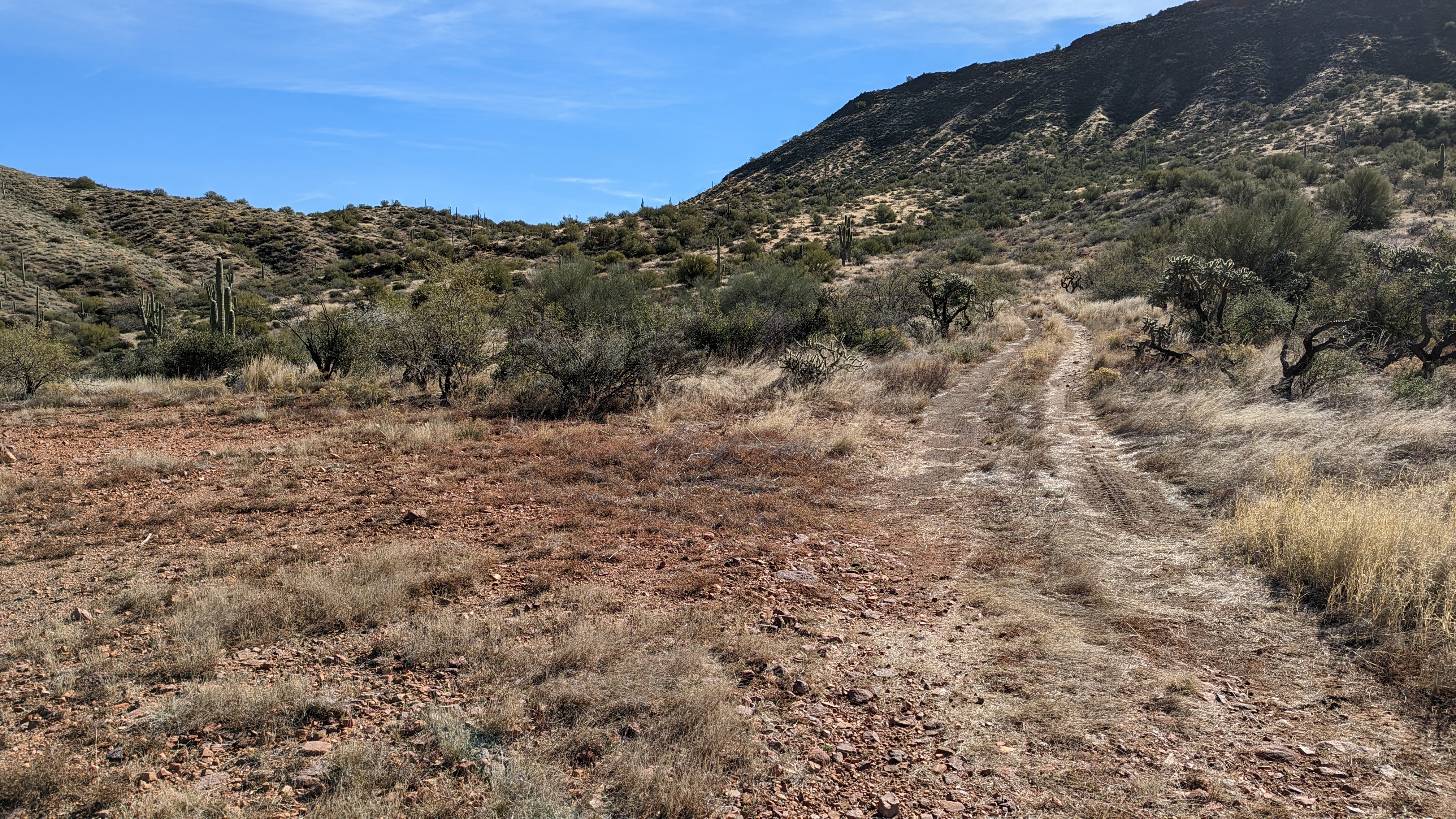
I saw a post by an online friend looking to ride on Friday morning. I wasn't sure what time I'd be getting out of work for his planned Prescott or Sedona outing so I left it open. I ended up having to work a bit longer than I hoped and didn't want to spend the better part of the day driving. He, Shawn, ended up going to Prescott on Thursday and mentioned he had never ridden the Arizona Trail, AZT, out at Picketpost. How could I let that slide? So we hatched a plan to head over there in the late morning on Friday to ride the AZT to one of the overlooks 10 miles south of the trailhead.
I have another buddy, longtime bikepack endurance racer, Mark, who now resides in Superior. We've been trying to get out on a ride for a while and this would actually work for us.
Mark met Shawn and I at the trailhead and immediately realized he forgot his bag with most of his riding gear!! Gah! He took off home to grab his stuff while Shawn & I made our way up the trail.
 |
| Shawn grinding away on the steady, sometimes punchy, climbing south of the trailhead. |
 |
| Mark joins the fun about 4 miles into the ride. Welcome back!! |
 |
| The beautiful 6 mile overlook. |
The final mile to the 10 mile overlook is a solid climb. I rode most of it, but not all. Fitness is slowly coming back, but it sure did feel good to get out there. It was a much more difficult 10 miles than I hoped as I had bigger plans the following day.
 |
| On our way back to the trailhead. The 10 mile overlook is also the first time going northbound on the AZT that Picketpost Mtn. becomes visible. Seen dead center here. |
 |
| Can you find Shawn?? |
 |
| So nice to see a ton of green Saguaros out here after last year's Telegraph Fire. Shawn is a bit easier to find here. |
 |
| Love this vantage point along the trail. |
 |
| Trail cows wouldn't yield!! We followed them for what seemed like a quarter mile!! |
 |
| Done. Tough 20 miles dodging catclaw and climbing. |
I was fairly worked over for the short ride and I had a feeling I'd pay for it the next day.
Route:
The following day was the annual AZT-In-a-Day Challenge and I signed up for a section of trail south of Picketpost between the ATA Rain Collector and the Gila River, essentially Martinez Canyon. Great, right? Well, there's no easy way to access it, the Gila River was flowing high at over 220CFS (150 is mid-thigh on me and I'm 6'1") and I wasn't sure I could pull off a full Picketpost to Kelvin ride. What was I thinking??
 |
| The goal is to have folks hike, ride, horseback all 800 miles in one day. |
I recalled my friend, Anna, mentioning that the Picketpost to Kelvin ride was a bucket list ride of hers. She recently finished 2nd in the Annual Tour of the White Mountains race so I knew she had the fitness for it. Could I pull it off? Math told me if we started early enough, my slow pace would still get us to Kelvin in daylight. Let's do it!!
We made a caravan to the Kelvin alternate trailhead on the north side of the river and left my car there. Thirty minutes later we were back at Picketpost ready to roll.
 |
| Setting off under some cool clouds. |
 |
| Standard Picketpost Mtn. shot. Nope, never gets old. |
 |
| Barely 150' into our ride, the trail drops off a 3' ledge into a wash. There's a temporary go-round. Must've been a ton of water flowing through here during the monsoon season. |
 |
| Hello there!! Desert tortoise chilling on the trail. |
We made good time getting out to the 10 mile overlook, almost a full hour faster than the day before for me. I was feeling better than I thought I might. It wasn't easy, but I felt good enough to continue our Kelvin quest.
Almost everything beyond this point was new terrain for Anna. I always love seeing reactions from new riders to the Martinez Canyon area. I've been through here countless times, day & night and it's always awe inspiring. So grateful we get to ride bikes here.
 |
| Rounding the corner at the start of Martinez Canyon. |
No sooner did we enter Martinez Canyon, a family of Javelina romped by us upslope from the trail. Such a cool sight.
 |
| Even with tan grass this place is rad AF. |
 |
| Obligatory hike-a-bike photo!! |
 |
| We both agreed, the rock formation looks like a squirrel peering out into the canyon. |
 |
| Traversing the canyon's walls. |
 |
| Within seconds, Anna becomes a speck in the massive landscape. |
 |
| I love the other worldly feel in this section. |
 |
| Anna cruising down the upper sweeping curves of the Gila River descent. It's a 7 mile, mostly downhill, 2,000' descent to the valley floor. |
 |
| It's hard to focus on the trail with views like this. Mt. Lemmon is the distant dome on the horizon. |
 |
| Switchbacks and Cholla could be a recipe for disaster!! |
 |
| Two miles from the bottom at Dale's Butte. |
The AZT descends down a steep 2-track after passing by Dale's Butte then climbs out. It was here when I began to have doubts about reaching Kelvin. I had to walk the entire climb out, one I typically ride. That's always a confidence builder!! I began running the remaining trail along the river through my head. I could do it, but there would be a ton of walking and probably a finish after sunset. The other option, one I had originally planned to do, was to ford the Gila River and hop in a waiting car...one that wasn't there. The Gila had been flowing a bit over 220 CFS and I tend to caution anyone attempting to cross over 150 CFS as that is around mid-thigh on me at 6' 1".
I proposed a modified route to Anna, with me being the Guinea Pig to test the deep waters of the Gila River. If we could cross, while a bit longer, the ride around to Kelvin via Cochran is faster on a series of dirt roads.
 |
| Before reaching the Gila River, we took a 100' detour to the low point of the entire AZT. |
We arrived on the banks of the river to a couple of groups of 4x4 users, one on each side. Welp, looks like the crossing is going to be a spectator sport!! Last time I was down here the river was running clear and low enough for 4x4's to easily drive across. Not today.
 |
| This channel is often dry and the access point for 4x4's. |
My first test was the channel pictured above. I took off my shoes & socks, then immediately began to sink in the soft gooey sediment up to mid-calf. Nope. Not crossing here. I then moved over to those low hanging tree limbs in the above photo on the left. There was better footing there. I'd make a test run before trying to cross with the bikes. I also knew the first few feet would be the deepest, but how deep? Each baby step I took I went deeper until finally bottoming out just over waist deep. The current was trying to push me, but it wasn't super strong, you just had to focus on good foot placement. Barely 10 feet across and it began to get shallow, but the river rock were hurting my feet. Once I reached the far bank, I dropped off my backpack and put on my shoes. So much easier.
 |
| Enduro style bike portage was fairly easy. |
 |
| Anna made it through the deep section without much trouble. |
I carried both bikes across, we had a snack and the group on the side we reached had some cold water for me after Anna snagged one from the other group!! Then they offered a beer. Yes, please. Ice cold and a nice reward for not falling in the muddy water.
I felt much better about getting to the car now, although I knew there would still be a little bit of walking for me.
 |
| Awesome canopy down by the river. |
 |
| The rest of the ride we were staring at storm clouds. |
For a while we were riding straight towards them, then we'd turn and thought we may be in the clear. Thunder claps reminded us we were not and a few fairly close lightning strikes caused some uneasiness. We kept pedaling or in my case, moving forward. I can't thank Anna enough for her patience as she rode strong and steady all day. I felt bad for slowing us down, but I was digging deep.
We were nearing the top of the gradual climb to the Florence-Kelvin Hwy when the rain began to pick up. Time to break out the rain jackets. By the time we reached our turnoff, it was pouring. At least we had a 4+ mile downhill. The rain kept coming and I'm sure the couple of cars that passed us thought we were nuts being out on our bikes. Little do they know how often getting epic'd happens!! We crested the final climb and made he last descent crossing back over the Gila River in Kelvin. We reached the car a few minutes after 5p with plenty of daylight remaining. Hooray!! It even stopped raining for a bit while we packed up.
While I had my struggles during the day, it was a fantastic ride. We still rode through the best part of the route and perhaps Anna will come back to finish the full singletrack portion of the route during spring when the wildflowers are on full display. I'd highly recommend it.
Route: