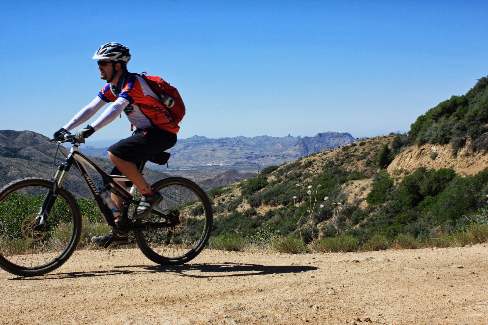
A couple of years ago around Thankgiving I went out to Picketpost to check out the
Arizona Trail (AZT) north of the trailhead. We were all turned around that day as I was a complete GPS noob back then, so we only rode about 3 miles of trail. I recall it being good though. I've been wanting to get back there ever since. I would guess that >90% of mountain bikers that start at Picketpost venture south from the trailhead as there are few if any trail reports from
passage #18, Reavis Canyon.
This past weekend I decided to give it another whirl, this time armed with a GPX track to follow. Forecast highs for Superior were around 104º, but based on the route profile we'd be climbing early on then descending back to the car. The mornings are still very pleasant, so we could beat the heat, right?
I rounded up another riding buddy, Arturo, and we made the 45 minute trek out to Picketpost and were pedaling by 6:30a. The first mile and a half has some sweet singletrack, then we met up with FR650 and would spend most of the morning climbing on it.
 |
| Not your typical AZT signage. |
 |
| The first 10 miles were on a gentle grade with a few downhills thrown in. |
 |
| Getting closer to the wall of mountains. |
 |
| We were enjoying the cool morning temps. |
The first 8 miles or so of FR650 were fairly tame, generally uphill, but some nice downhill bursts thrown in. We stopped a few times to snap some pics or grab a snack and each time there seemed to be a pesky hornet or two getting a little too personal. This hornet episode kept up the entire day!!
Somewhere around the 11 mile mark of the ride the real climbing began. The grade wasn't unbearable, but it wasn't easy either. I finally relented and dropped out of my middle ring and made a quick re-acquaintance with granny. She obliged & let me keep spinning.
 |
| The 3 mile zig-zag up the mountain reminded me of Redington Rd in Tucson. |
 |
| Century plant in bloom. |
 |
| Climbing away, up the switchbacks. Photo by Arturo. |
 |
| Arturo diggin' in as we climb higher than Picketpost Mtn. in the background. |
 |
| I love views that show what you conquered! |
 |
| Saddle reached!! Ending the big grunt of the day. |
 |
| Found a nice shady spot to enjoy a lunch break. |
 |
| We were both ready for a bit of downhill. |
After our lunch break we continued to follow FR650 as it wrapped itself around the backside of the mountain. The views to the north were jaw-dropping as they lacked the dusty veil of their southern counterparts. The road twisted, turned, had some ups & downs then made its way through an old burn area. The riding was quite good. The climbing continued. 4600', 4800', 5000'....an on and on.
 |
| The views to the north begin to open up. Photo by Arturo. |
 |
| It was really cool to see the climate change as we climbed. Trees!! Photo by Arturo |
 |
| Burn area. |
 |
| Picketpost Mtn. down below. |
 |
| Arturo dwarfed by towering mountainside. |
 |
| Enjoying some easy climbing. |
 |
| Coming 'round the mountain. Photo by Arturo. |
 |
| One of the many peaks to the north. |
 |
| Our high-point destination: Montana Mtn. (Just to the left of the summit) |
 |
| Rugged beauty of Arizona. |
 |
| Finally topping out near our AZT turnoff around 5300'. |
We made it to the AZT junction around 11:30, it was still quite nice out thanks to the elevation and breeze. I really wanted to make it to the official end of the passage, but that meant a 2.4 mile downhill to Rogers Trough trailhead. Arturo decided to wait for me on the AZT under some shade while I knocked out the out-n-back and extra 600' of climbing.
 |
| AZT junction, now find some shade. |
 |
| Top of the world!! Views from Mt. Lemmon to the W.Valley. Photo by Arturo. |
I started down FR650 keeping tabs on the grade for the return back to the top. There were two short climbs on the way down so I knew I'd have a couple of fun downhills heading back up to the AZT. I stopped to snap a couple more pics when a pickup truck came rambling up the road, the older couple stopped to make sure I was ok & had enough water. I told them I was good, but my water was getting a little warm. They instantly offered up a couple of cold water bottles! When it's hot in AZ I've learned to
NEVER turn down water, certainly not
cold water!!
I continued on my way, dropping down one short particularly rough section that I'd probably HAB on the way back. A few minutes later I arrived at the empty trailhead at Rogers Trough.
 |
| A 'backside' view of the Superstition Mtns. |
 |
| Transition from passage #18 to #19. |
 |
| Four Peaks lurking down the valley. |
 |
| The start of the Superstition Wilderness, no bikes beyond here. |
I ate a quick snack then started the climb back up FR650. The only HAB section was the rough spot I noted on the downhill, the rest of the climb was at a comfortable grade. 45 minutes after leaving Arturo, I was back on AZT singletrack. I started across the ridge and saw almost immediately how intrusive the plant life was. Arturo found a nice spot to relax a few feet below the giant downhill on Montana Mtn.
 |
| 5 miles of singletrack before crossing FR650. |
 |
| Fantastic hummingbird capture by Arturo. |
 |
| Before the catclaw attacked!! Photo by Arturo. |
 |
| The massive downhill starts on the other side of the gate. |
 |
| High up on the mountainside, 16 miles of mostly downhill in front of us, what's not to smile about!! Photo by Arturo. |
 |
| Taking in the views before plunging to the hot valley floor. Photo by Arturo. |
 |
| Keep your eyes on the trail, it's a long way down. |
 |
| Southern Arizona-esque in spots. Photo by Arturo. |
The singletrack down Montana Mtn was in surprisingly good shape for how little traffic it sees. The major drawback was the ever present catclaw & Russian thistle that grabbed, poked and prodded us at every opportunity. I managed to bail off the trail on a poorly executed switchback attempt landing in a large thorny bush in the process. We both pulled a handfull of thorny branches out of my back after I climbed back up to the trail.
After the 3 mile switchback attack the grade lessened and funneled us into a side canyon. The trail through here was still good, but as the wash crossings added up, so did the dismounts. The trail was just chunky enough to really slow us down and it was really starting to cook out there. Temps were now in the low 100's and we still had about a dozen miles of singletrack left.
We made a joint decision to cut out the last 10+ miles of singletrack in favor of a more speedy, i.e. easier, return to the car. Both of us were getting a bit low on water and it really is no fun sucking down hot water when you're trying to cool off.
 |
| Mmmmm, semi-boiling water. Photo by Arturo. |
 |
| The big ridge we descended, led to some rock hopping in the canyon. |
 |
| The trail cuts through this old make-shift holding pen. |
 |
| I spy...a tired rider. |
 |
| An old AZT sign, odd to see this here and not the end of a passage. |
We dumped onto FR650 just after the old AZT sign. There was one short climb on the road followed by what seemed like 7 miles of downhill out to US60.
Back at the car we cracked open the ice cold waters, gatorade and chocolate milks that were waiting. It was now 2:45p and 104º, whew.
Our legs were stinging, not because of the climbing, but all the scratches we endured over the 5 miles of trail. The hornets followed us all day long, inspecting our bikes every time we stopped.
I'll definitely be back to ride this one again, in the fall. I may head back out sooner just to nab that last bit of singletrack on the AZT. Maybe I can talk Arturo into tagging along for that one as well!!