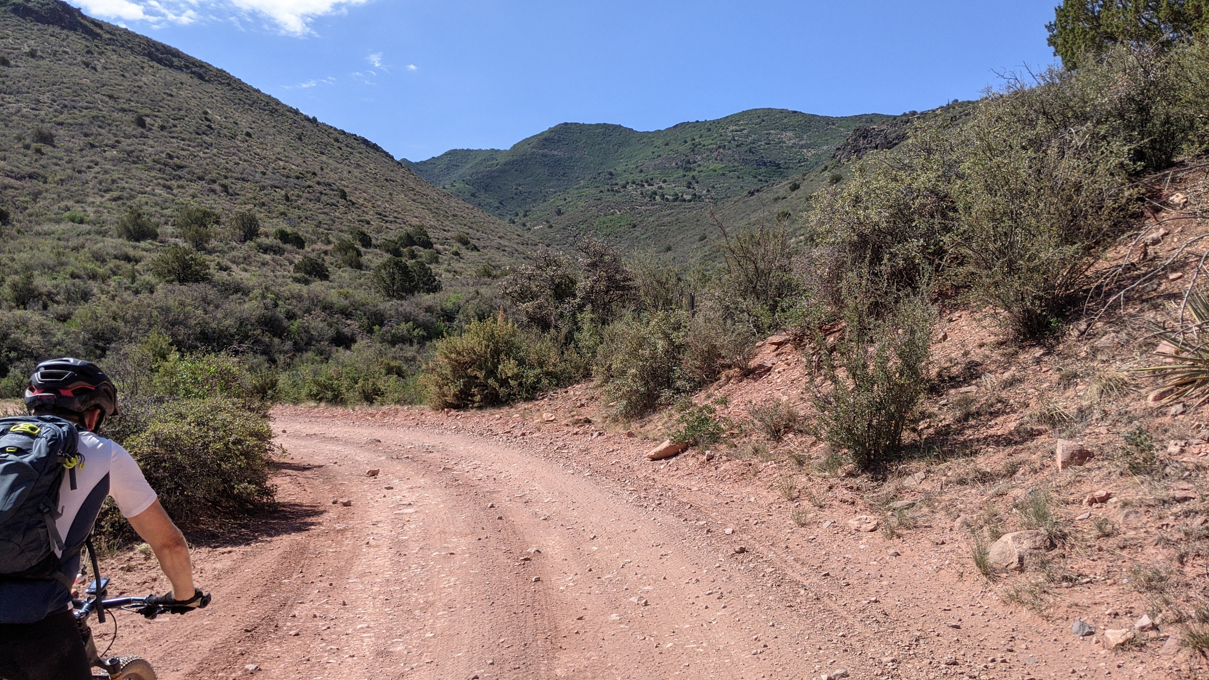
When I pulled the plug on my recent Pinyons & Pines effort I was really bummed about not seeing a few sections of that route. One of which was up on Mingus Mtn. Old man Mingus is a tough SOB, knocked me out of last year's Coco250 and is known to inflict copious amounts of pain even to those who conquer his gautlet of physical & mental hurdles.
The route in question on Mingus was the kinder, gentler version of this giant. It's half Coco250 and half Pinyons & Pines. A virtual Mingus Go-Round, aka CircumnaviMingus as I found out later.
I put out a few ride invites on social media and had some takers, but life got in the way for a few of my friends and Ian was the only one who could make it.
We met up around 7:30a for our clockwise loop and were rolling by 7:45a. It was cool at the moment, but we knew it wouldn't last as the forecast for Jerome was flirting with 90º. We hoped we could make good time getting there as it's also the low point of the route, then climb to the trees!!
 |
| Things got started with a few miles of powerline riding, mostly good albeit rubbly in sections. |
 |
| The route had flashes of Sedona here & there. |
 |
| Kinda sad that people have to be told this. There were three tanks with the same message. |
 |
| As soon as we left the powerline, the contouring began. |
 |
| Fun downhill-ish section. |
 |
| Look at that lush green mountainside!! |
 |
| We saw a few other cyclists out enjoying the climb. |
 |
| Fast climbing leading to Jerome. |
 |
| Cutting through the second notch before the long downhill to town. |
 |
| Yeehaw!! |
 |
| We made our way to The Flatiron cafe for some coffee & scones!! |
We made good time getting to Jerome and the short break was perfect. We topped off our water and readied ourselves for the climb ahead.
 |
| Great vibe here and bike friendly!! Said the Pinyons & Pines riders made his whole weekend with all the sales!! Be sure to stop by when passing through town. |
 |
| Nice view of town as we make our way up. |
 |
| 'Unsuited for public use' Read: Enter here. |
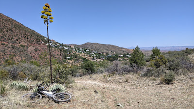 |
| Blooming Century plant, the last hurrah before crashing down. |
 |
| This climb was mildly chunky with embedded rock, good grade for the three miles ahead. |
 |
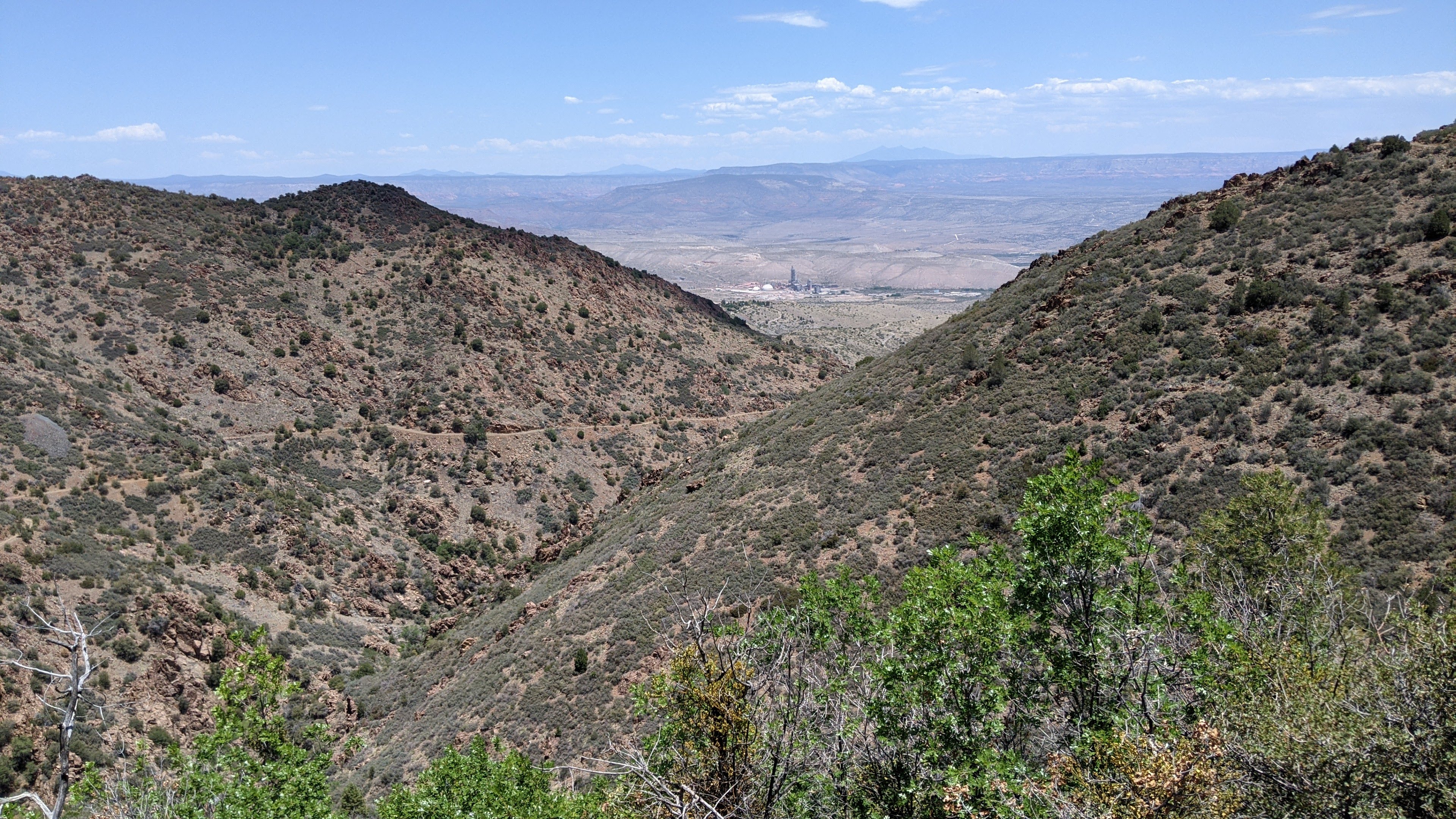
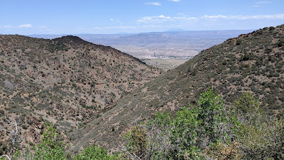
| Getting deeper into the hills, Verde Valley far below. |
 |
| The roadbed cuts up the far hill, topping out near the upper left of the photo. |
 |
| Ian making his way up the grade. It was getting warm and the trees were intermittent. |
 |
| What's this?? Flowing water!! |
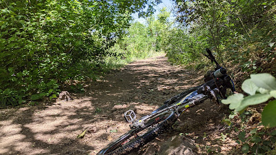 |
| Shade break after a failed attempt to ride through a puddle. |
 |
| Sneaky puddle. Don't ride through!! I sunk up to the hubs and my feet sank in the muck. It did cool off my feet though. |
 |
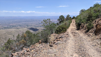
| Looking back down at our path up the mountain. |
 |
| The road begins to level out, 8 miles worth of relatively flat riding up here. How cool is that? |
 |
| Ian nears the top of the post-Jerome climb. |
 |
| The horizon is filled with named peaks including Arizona's high point of Humphrey's Peak. PeakFinder app. |
 |
| The views were endless. |
 |
| Best of all? The road was empty. |
 |
| Another running spring. |
 |
| Almost time for a shade break before taking on the next climb. |
 |
| Piped spring was dry. We didn't need the water, but it would've been nice to dunk my head. |
While taking a snack break two OHV's passed by, only saw three the entire day!! I'm guessing most of the typical weekend crowd went farther north.
 |
| Topping out on the second climb, a steeper effort, but still rideable and only a bit over a mile long. |
 |
| Ian powers to the top. |
 |
| A stack of mountains to the east. |
 |
| Our path as we begin to circle around Mingus on the east side. |
 |
| We returned to the tall trees enjoying a more relaxed climbing grade. |
Our route was approaching 7000' and it was quite warm, not hot, but my quads had thoughts of cramping, so I took a break before they revolted. I was able to skirt the cramps and we made our way to the high point of the route where the singletrack began. From here, it was 5 1/2 miles of mostly downhill trail to the cars.
 |
| One final snack break in the shade. |
 |
| It started out as buffed trail, but soon became chunky over the next mile or so. |
 |
| When it was smooth, it was blazin' fast!! |
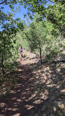 |
| Yeager Cabin trail, #111. |
 |
| There was one uphill on the downhill, of course it was loose/chunky stuff. We walked a bunch to conserve energy since it was late in the ride. |
 |
| The final downhill was a hoot on the Little Yeager trail, #533. |
 |
| Beautiful bench cut trail. |
 |
| I love gliding through the forest landspeeder style. |
The final trail parallels US89A for the last mile dropping about 300' to our staging area. What a great way to wrap things up.
This was such a fun route, complete with the coffee/cafe stop at the halfway point in Jerome. I think I'd like to do it again when it's 10-15 degrees cooler. Thanks for coming out, Ian, let's ride again soon!!
Route flyover via Ayvri.com
Route: