April 14, 2023

A Sheepish Loop

 Ever since Mike & I rode the Fool's Loop a couple years ago, I've been wanting to do a big day ride loop out to Sheep's Bridge. It overlaps the Fool's Loop for the first 44 miles, going in a CCW direction, then returns towards the town of Carefree via Seven Springs Rd. for a total of 74 miles and about 8000' of gain.

I had gone up to Carefree a couple of weeks ago to do this ride but didn't really dig into the day's weather. The temps were ideal, but when I hopped out of my car the wind was howling!! Nope. Not today. I hoped I'd get another chance before the heat kicked in and sure enough, I did.

I also really wanted to see the water release at Horshoe Reservoir. If you click the Fool's Loop link above, you'll see how low Horseshoe Reservoir was only two years ago. Now, it was overflowing!! The best part is, in order to cross Horshoe Dam, you have to cross 'under' the water!!

I almost slept in the morning of the ride, but I got going and made it up to the start about 45 minutes later than I originally planned.

The first few miles are paved, a fast downhill, then a 5 mile grind.

The road turns to dirt, then begins a long, washboarded descent to the valley below. This hill seems like it would suck to climb, especially with traffic. No thanks.

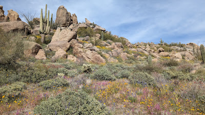
The hillsides were painted yellow by Brittlebush and poppies.

The golf ball sits atop Humbolt Mtn, which I'll be riding around today.

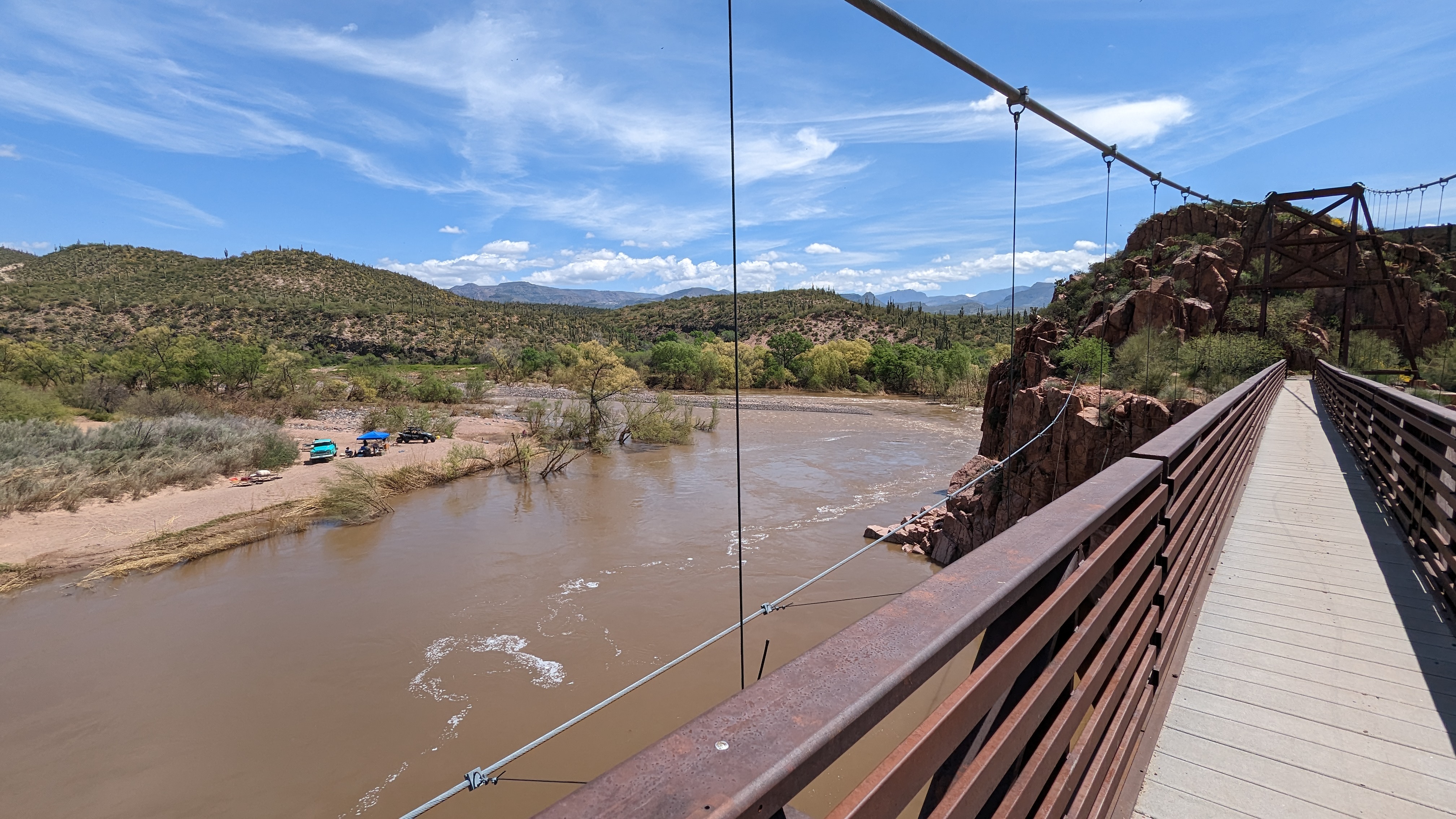
The Verde River running high this spring.

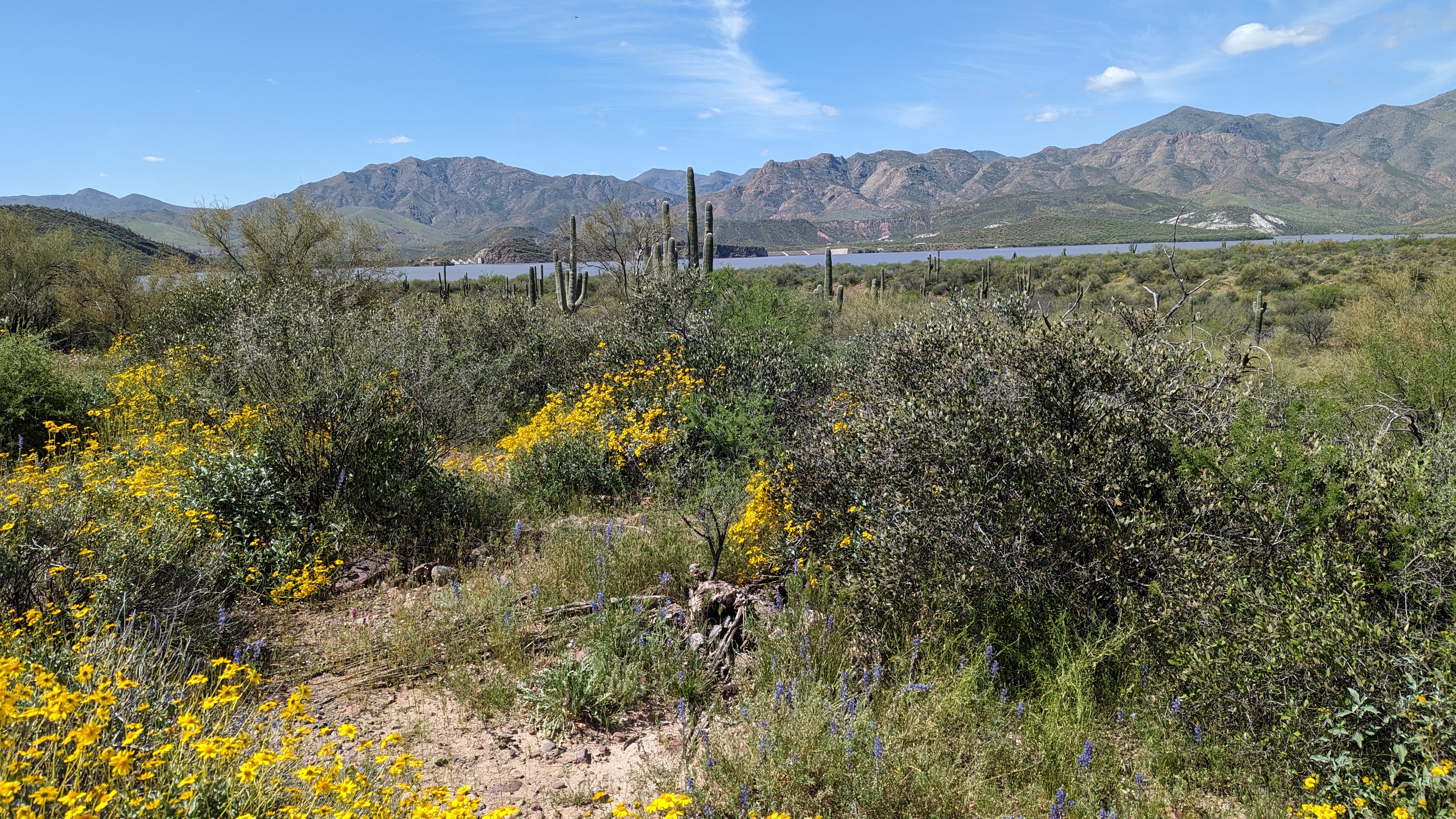
I missed my turn to Horseshoe Dam, but ended up with a fantastic view of the reservoir. Bonus mile FTW!!

Whoa!! That's a massive release. From afar, you couldn't see the flow.

Here's the best part, you get to cross underneath it!! It was deafening.


Feel the power!!

It was so loud I never heard my bike fall over!! Haha.

Quite impressive from the opposite side.

Brittlebush were out in force.

On top of the dam.

It's so great to see our rivers not only flowing, but flowing full!!

One last overview before moving on.
I passed by a sign indicating Sheep's Bridge was 12 miles away. The dirt road was under a nice canopy of trees and as I rounded a corner I heard something next to me in the brush. It was a large Javelina!! Cool!! It scrambled a bit then shot across the road and disappeared. Way too quick for a photo, but neat to see.
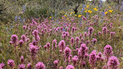
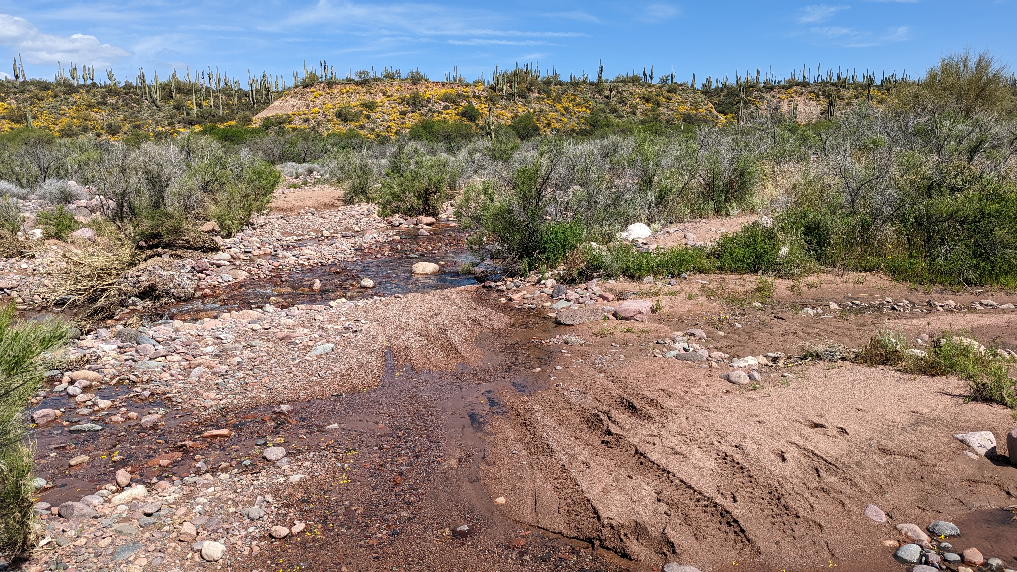
I'm guessing this was impassable a few weeks ago. The Lupines were feasting on the moisture.

It's been amazing to see the wildflower coverage this year and how long the flower season has lasted.

Reservoir coming back into view.

Pretty sure this was dry last time I was here.

Horseshoe Dam on the left side of the Saguaro.

Found this fella sunning himself across the road. He wasn't too keen on the photo, but he looks much better than lying in a straight line!!

Deadman Creek.

Approaching Sheep's Bridge. The water damage was evident.
The Verde River was running high, but clearly had receded from it's max flow level. I initially started to make my way to the bridge by staying high and right near the rock wall, but soon found that wasn't going to work. I navigated through a bit of mud to reach a dry spot which then connected over to the bridge, it wasn't visible at first. A short scramble brought me up to access level.
I'd be riding along Chalk Creek Rd. after crossing the bridge.

Anchored in!!

Some history of the bridge before entering.

Must've been a sight to see a massive herd of sheep funneling across the bridge.

It's an impressive sight no matter if you're below, above or on it.

Nice place to make camp for a weekend.

I entered from the left side of the photo.

The hot spring was hot & clear. This photo looks like a drone took it.

Classic shot.
I had taken note, it was 31 miles to get here and about 2400' of gain. That meant the final 43 miles had a boat load of climbing, let's go!!
Up, up and away.

The elevation was stacking up quickly, but it was rideable and no traffic except for the occasional moto or SXS, all were super cool.

There's gold in them thar hills.

There were enough undulations to give the legs a break and cover ground quickly.

This is what typically happens to abandoned vehicles in the AZ backcountry. #pewpew

Tangle Creek made a perfect place for a snack & water top-off.

Runoff from Frog Spring.

If the poppies are going to be this amazing, I'm going to keep taking their picture.

Cue the Great Western Trail joke here: It's Western.
This was the turn off the Fool's Loop portion of the ride onto FS24, Seven Springs Rd. I was now 44 miles into the day and feeling pretty good, but I knew the next 11 miles or so were generally uphill. From here to the Seven Springs CG was all new-to-me terrain which is always welcome, but I had no idea how long it would take. It was 30 miles back to the car.

I started up Roundtree Canyon to the sound of running water next to the road. There was one steeper grade that I walked for a bit, but otherwise the riding was good.
It's a mini Bell Rock, aka CP Butte, from Sedona over the top of an early climb.

Beginning the climb to Lockwood Mesa.

Looking back over 51 Ranch and the route I rode in on.

It wasn't as steep as it looks.

I just love the rugged beauty of Arizona.

For the most part the road surface was good. Still minimal traffic.
I caught up to a SXS rider I had seen down at Sheep's Bridge, one of his belts broke and he was sitting roadside waiting for his wife to return with their truck & trailer. He laughed it off and said I was going to beat him to the finish. He was right!!
Mile 55 and cresting the final major climb near Blackjack Point.

Abandoned vehicle #2. Must be recent since it isn't riddled with bullet holes!!
It was a long, fast downhill off Magazine Mesa and the miles zipped by. I wasn't exactly sure when I'd reach Seven Springs CG, but it arrived soon enough.
Back to familiar surroundings!!

Cave Creek doing its thing.

Leaving the campground area and kinda rejoining civilization as the dirt road was clearly more manicured and traffic increased in spite of the setting sun.

Fade to dirt.
During this portion of the ride it became obvious the drivers I encountered were from the big city. Not one of the dozen or so vehicles even hinted at slowing down as they zoomed past me. One fella in particular practically drifted around a corner. Knowing this, I stayed far to the right and put my light on early for visibility, not for me, for them. It was the worst part of the entire ride, but at least I wasn't climbing, the riding was fairly fast.

Fading light over Four Peaks as the final miles turn back to pavement.

The last couple of miles went by quick, finishing on fast pavement was nice.
I rolled up to the car a few minutes before needing my lights, what a day!! I'm so glad I made it out for this loop in these conditions. The water release at Horseshoe Reservoir was a real highlight of the ride. The wildflowers continued to amaze and it's always great to experience Sheep's Bridge. This route would make a real nice overnight loop, camping at Sheep's Bridge. Something to consider going forward.

Strava link.

Route:

April 6, 2023

Brown's Ranch: Birthday Bash

 I completed my 52nd lap around the Sun this year and to celebrate I took the day off work to go for a ride. A lot of my friends like to do birthday mileage rides, but I was feeling like I wanted more. How about a double?? 104 miles, eh? I'm not one to simply hop on the canals to bang out some miles, I like them to be trails or at least more remote dirt roads. Brown's Ranch offers more than 100 miles of singletrack that is fairly tame by local standards. Almost every ride there, no matter the distance, averages about 50' of gain per mile. I'd go for my goal there, with the catch being it's only open a little before sunrise to sunset. Shouldn't be an issue, but I needed to be there when the gate opened.

I was the second car in the lot around 5:45a, sunrise was still a few minutes away. The forecast was also in my favor this year as it was only going to be in the upper 70's to low 80's, nice and cool in the early morning. What was my plan for the day? I didn't really have one, no mapped route, just ride. The only thing I knew I was going to do was a big perimeter loop, going clockwise, from the main trailhead off Alma School Rd. That way my car was centrally located as I had a cooler with ice/drinks and some salty snacks in stand-by mode. After that loop, I'd mostly just focus on riding trails I like to ride and let the miles stack up. I'd try to ride trails farther away from my car first and as the day wore on, do the final miles near the trailhead if I was cutting it close on daylight.
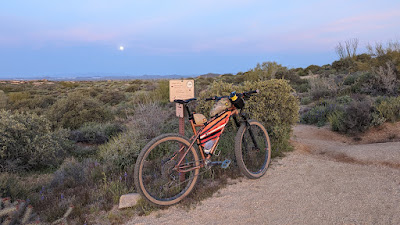
Moon setting to the west as I head out before sunrise.

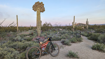
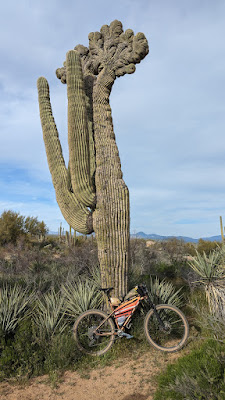
Crested Saguaro #1. I'd make it a point to hit the natural highlights of the area today.
I had 3 miles done by the time the sun's rays made it to the trail. I kept a steady, solid pace going all the way around the perimeter loop reaching the Alma School trailhead almost exactly 3 hours after starting, 31 miles in the books.

It was still cool enough that I wasn't ready to shed my long sleeve wool base layer, which surprised me a bit. I took a short break, downed some calories and decided to head north to the Stagecoach trail, this would complete the full trail and also lead me to Hawknest. I could then take that all the way back to the Pima/Dynamite trailhead and complete that trail entirely. Seemed like a fun, mid ride goal of sorts.

Passed through the Amphitheatre Spur off Cholla Mtn.

I love riding trail among the boulders.

A very red Firecracker bush.

Cathedral Rock photo op.
I made quick work down to the trailhead, now 45 miles into the day. It was around 10:30a and I was feeling good. I started to wonder if I could tack on a few extra miles at the end, maybe shoot for 110, because, why not?

Next up was to route my way through the zigzagging trails in this part of the preserve. They're not the fastest trails, but they are some of the more fun ones as there are some rock options to play on.
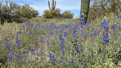
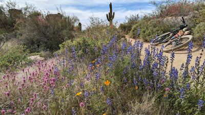
Lupines off the Rawhide Wash trail.
Note: Rawhide Wash trail is signed, warning mountain bikers of the sand in Rawhide Wash. While this is true, you don't have to use Rawhide Wash at all. I noticed there wasn't much tire traffic on this trail and it's actually a really nice trail to ride. When you reach Rawhide Wash, you're also at a horse stepover gate along Pima Rd. Go over that and make a right, north, along Pima Rd. You'll find a singletrack trail in the dirt shoulder, follow it for less than 1000'. Look for another horse stepover gate and re-enter the trail system here. Follow the dirt road for another 1000' where you can join Axle Grease trail. It gives you another nice looping option close to the Pima/Dynamite trailhead.

This area is littered with boulders.
I finished one lap through the area and was taking a trailside snack break when a couple of guys came riding up. It's Mike!! He was out giving a guided tour to an east coast rider. He occasionally gives mtb tours through Wild Bunch Desert Guides. He knew I was up to something and asked what I was doing. I told him of my plan and that I was currently at mile 52. The look on the fella's face he was guiding was priceless!! Mike was wrapping up the tour and we agreed to meet up for a few miles in about 30 minutes.
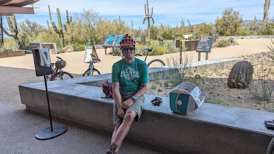
We knocked out our miles then threw back a cold one, seltzer water, at the trailhead. Thanks dude!!

I was now approaching 60 miles and I could tell my legs were getting a little sluggish. The slight grades were now more of a chore and I could see my average speed dipping lower. It was now finally starting to feel warm, so I needed to head back to my car to ditch the base layer. I decided to hit a couple more fun trails in the area as I made my way around Cone Mtn.
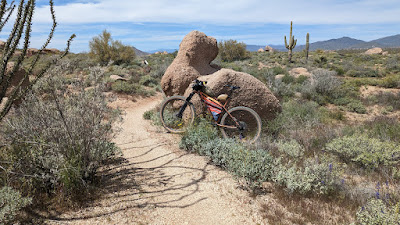
Easter weekend was upon us, so I had to stop at Bunny Rock.
Back at the car, now at mile 68 and 2:15p, I topped off my bottles & water, had some snacks, ditched the base layer in favor of sun sleeves and headed back out for the final 35+. The heavy legs continued for the better part of the next 20 miles and thoughts of doing more than 104 miles quickly vanished.

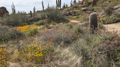
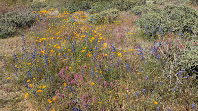
The wildflowers were still putting on a great show in certain areas. Granite Mtn. often has thick flowers.

South side of Granite Mtn.

Same.

...and some more.

It's a beautiful area and a fun trail no matter which direction you ride it.

Owl Clover.

Hedgehog cactus getting in the action.

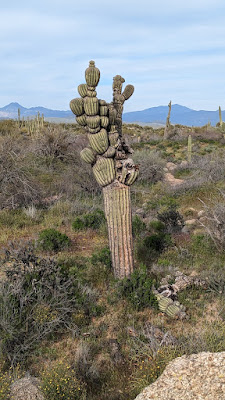
Crested Saguaro #2!!

Looks like another arm fell off the Michelin Man. I'm glad I saw this one in it's heyday.

McDowell Mtns. in the distance.
It was somewhere around here, mile 88 or so, that I began to get a second wind. Legs had finally come around, but it was now 5p. I had a little under two hours to get 'er done. Gotta keep moving.
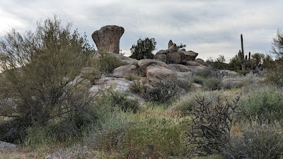
Balanced Rock.
I stopped after Balanced Rock to see where I was at, mile 96 and it was almost 6p. 8 to go, what route should I ride? Another rider had stopped and we noted how nice the day was. I think he asked where I started from and his jaw dropped when I told him I had been at it since 6a!! His Dad rolled up, had to be in his mid-80's and still enjoying the ride!! The guy had to yell at his dad a couple of times for him to hear: 'He's at mile 96!!' I told him I was nearing the end and had to keep moving to finish before sunset.

Shortly after leaving those two I looked down an noticed my Garmin had powered off!! WTH?!? Dang it, I need those miles to track!! I didn't think it had been off too long. Afterwards, I think it missed less than a half mile, but still. 

I did a quick loop around Cholla Mtn. and was a bit disappointed it was only 3 miles. I thought it would be closer to 5. I zigzagged my way back towards the trailhead knowing I'd be really close when I arrived.
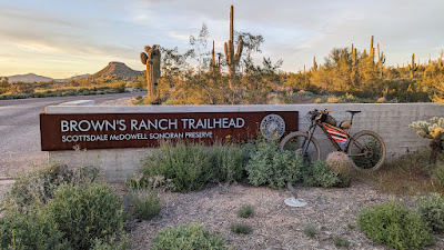
Rode the short out-n-back to the sign, added another half mile!!

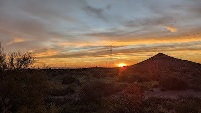
There goes the Sun...
I rolled into the trailhead as the sun was setting, but I was not quite to 104, rather 103. There were still quite a few cars in the lot and I knew the automatic gates are triggered to get out. I rode north on the wide dirt path from the trailhead for a half mile as others sped to end their rides. I hit 104 as I returned to the lot. Perfect. Done. Not a minute to spare!!
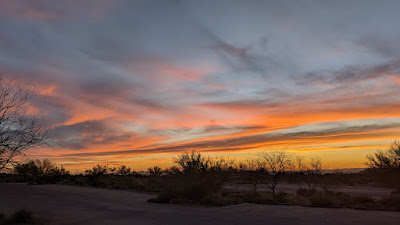
Nice way to end it from the trailhead.
I'm really glad I pulled this one off in spite of the sluggish feeling through a good chunk of it. I'll probably just stick to a 53 miler next year!!

Strava link.
Route: