I know when I send Scott a blank check I could be diving down the rabbit hole: Do you have any ride plans tomorrow? The only real caveat on this question was I needed to be home 'around' dinner. The first idea involved the Elephant Head trail and scrambling to the summit...if possible. Sounded like I should camp out for that endeavor!! Scott followed that up by emailing me a gpx track from a portion of a bikepacking route Andrew & Katie Strempke rode recently. I was out scouting a new trail at the time and was very intrigued by what I would find.
As soon as I opened the track I knew it was a GO. It was a 38 mile loop around the north end of the Santa Rita Mountains just south of Tucson. It's an amazing area and I had only really rode the Arizona Trail through there and some dirt roads a bit farther south. At first glance though, it was showing over 8,000' of gain!! Whoa!! Then I noticed some elevation data was missing. A quick correction and it adjusted down near half of that. I sent Scott the go ahead and readied myself for an early morning departure.
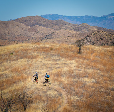
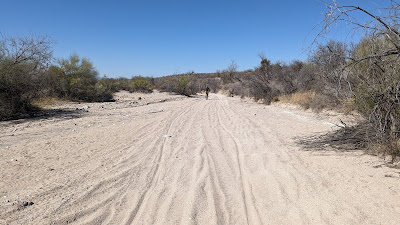
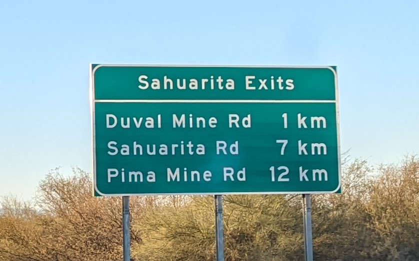
I made the 2+ hour drive south arriving pretty much on schedule. In all my years living in AZ, I had never driven down I-19 and forgot all the distance markers were in kilometers. I found Scott & Eszter's camp location, sweet view I might add and we rolled out shortly before 9a. There was a fair amount of this route that was new to all three of us, which is getting harder to do!!
 |
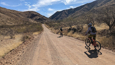
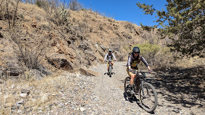
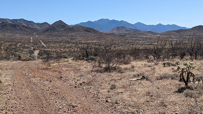
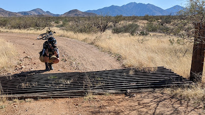
| A short zigzag on forest roads brought us here: Box Canyon Rd. where a bunch of baby cows were roaming about. |
 |
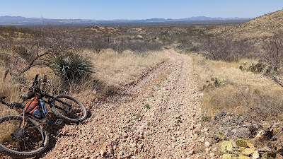
| I'll give you one guess where this road is heading. |
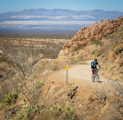 |
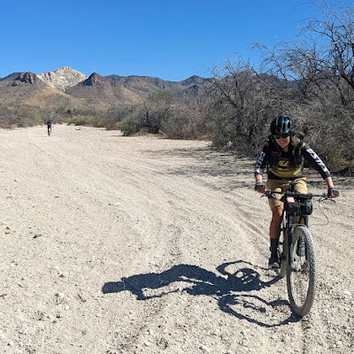
| The main climb up Box Canyon was superb. Santa Cruz Valley behind. Photo by Ez. |
 |
| Scott thought he spotted a cave...nope, a small arch!! |
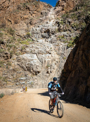 |
| We all agreed, we'd love to see this as a raging waterfall!! Photo by Ez. |
 |
| Me capturing Ez, capturing Scott. |
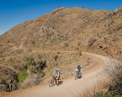 |
| Cruising along. Photo by Ez. |
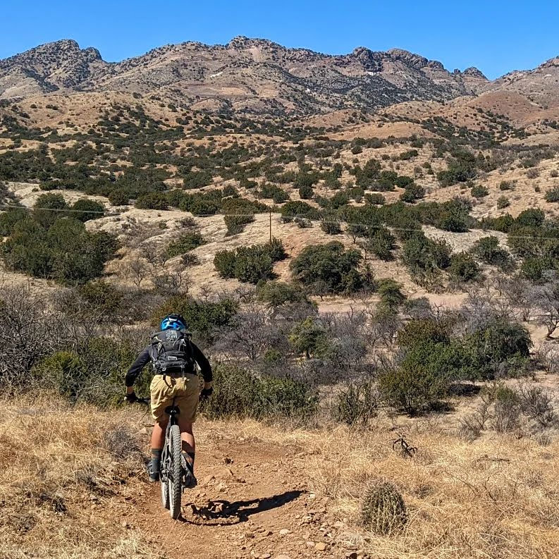
We eventually topped out and began a gentle descent on the east side of the pass. The track Scott sent my veered left at a road crossing, but hold on...we're going to stay straight and deviate from the brochure route. Have I been duped? Did I bring enough food & water? Lights? Then Scott informed me we'd simply be catching 5 great miles of AZT in the proper direction, only adding a few miles from the track I had. Whew!! I had visions of getting epic'd dancing in my head!!
Seemed only a few minutes later we arrived at the AZT crossing on Box Canyon Rd. and for some reason I had it in my head we'd be linking to the AZT at some other location. Not sure why I thought that since we were on Box Canyon Rd., one I've ridden many times from the opposite direction. Coming over the pass from the west really messed with my orientation of the area at first, but once on the AZT all was reset.
There were a few hikers hanging out at the trail crossing checking out a ginormous trail magic cache. It was incredibly well stocked for through hikers, even had toothpaste & toothbrushes at some point!! We were good on our hygiene and hydration so we moved along.
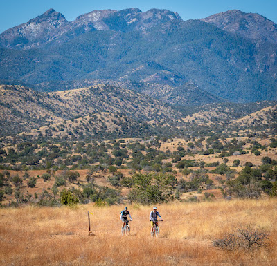 |
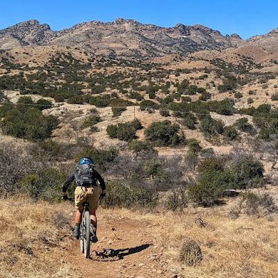
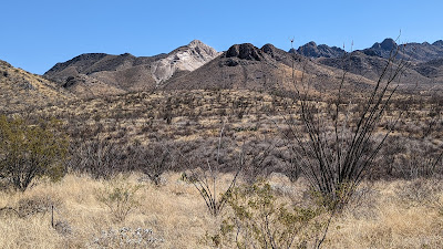
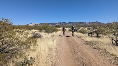
| Ahh, AZT singletrack and the towering Mt. Wrightson. Photo by Ez. |
 |
| Photo by Ez. |
 |
| Trust me, there IS a trail!! Photo by Ez. |
 |
| Nice to see a bit of snow up high too. Photo by Ez. |
 |
| See? There's the trail. |
 |
| Interesting colors this time of year. |
 |
| My well vented sun sleeves!! Photo by Ez. |
 |
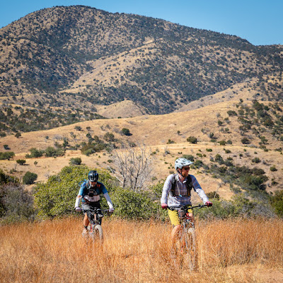
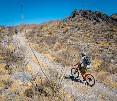
| Dwarfed in the grasslands. Photo by Ez. |
 |
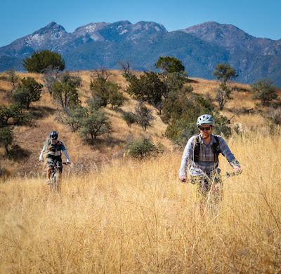
| A rare singletrack photo while riding. |
 |
| Ez drops down the final pitch on the AZT before our turn up Helvetia Rd. Photo by Scott. |
 |
| Slightly different angle. Photo by Ez. |
 |
| Ez's turn with all the mountains of Tucson. PeakFinder app. |
 |
| It took a few hours, but we finally had a short bit of hike-a-bike!! Photo by Scott. |
 |
| One Tree Hill. I like this version better than the TV series. |
 |
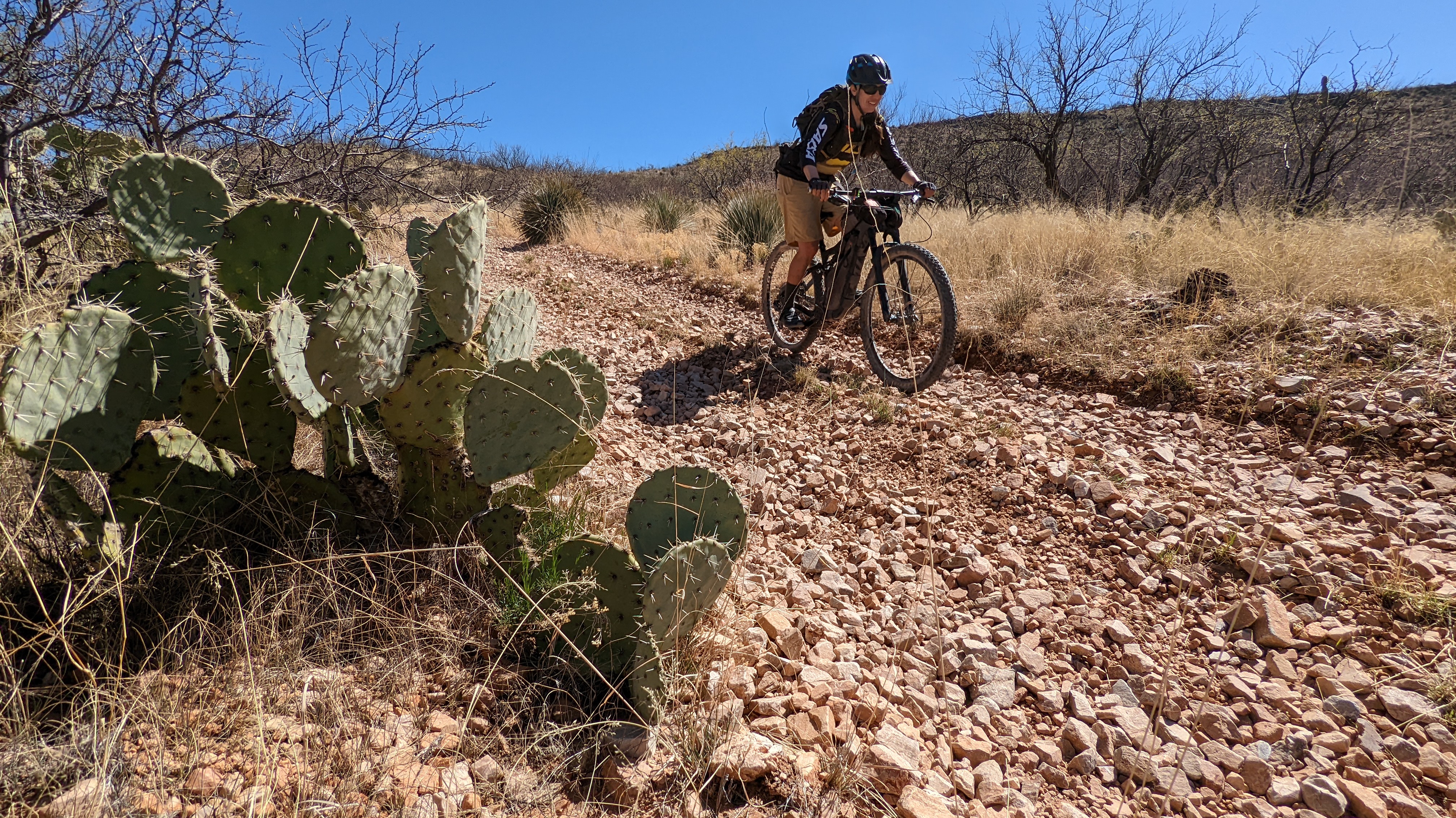
| I believe it was along this part of the route where we all declared gravel bikes would not enjoy this route!! |
 |
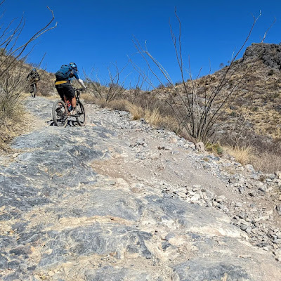
| More proof as the chunk-o-meter rises. Photo by Ez. |
 |
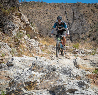
| Solid rock climb. Photo by Scott. |
 |
| Traction was easy to come by on this hill. Photo by Ez. |
 |
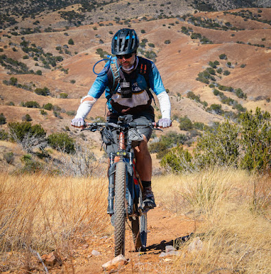
| Ez making quick work of the grade. |
 |
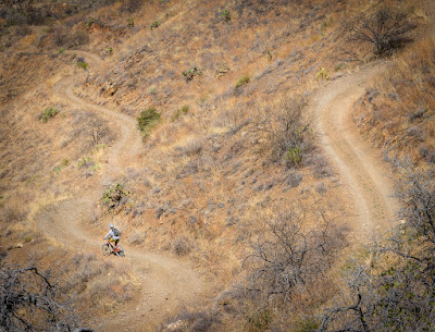
| The reward? A steep-ish, loose rock littered descent!! I almost put the bike down on a couple of occasions. |
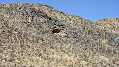 |
| Cave? Lava tube? |
We passed by the deserted Johnson Ranch and began to wonder if we couldn't cut a bit of the route via powerline road.
 |
| We started down this one, but immediately realized we turned too soon. Next left. |
 |
| Bluejay Mine. |
We found our turn and proceeded with cautious optimism. Down, up, down, up, etc. First gate: good, second gate: good, then an obvious no trespassing sign killed our hopes. Back we went, but Scott recalled seeing some tire tracks heading down a wash we crossed. It would save some hike-a-bike on the utility corridor we just rode, so why not check it out.
 |
| It was rocky at first, then quite sandy. But it was slightly downhill and rideable. Win!! |
 |
| Can't be all bad. Exiting the wash and about to rejoin our original gps line. Course found!! Photo by Scott. |
 |
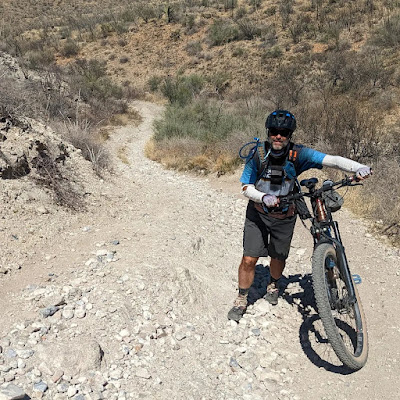
| Our successful wash gamble put us here. A long steady uphill pedal. |
We were cruising along as a cattle guard approached, Ez was slightly ahead when Scott yelled out: Snake!!! Gah!! Thankfully Ez was on the left side of the cattle guard while a Diamondback Rattler was coming out of the right side. Never saw one in a cattle guard before.
 |
| Ez grabbing some shots from a safe distance. |
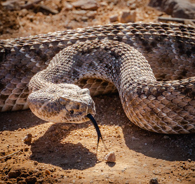 |
| Zoom lenses are nice...and safe!! Photo by Ez. |
 |
| It went back down in the cattle guard after our photoshoot. Photo by Ez. |
Always a good time sharing bike time with Scott & Eszter, who knows where the next ride will be?
 |
| Snapped this on the way north on I-19, seems so odd. |
Route flyover via Ayvri.com
Route:


No comments:
Post a Comment