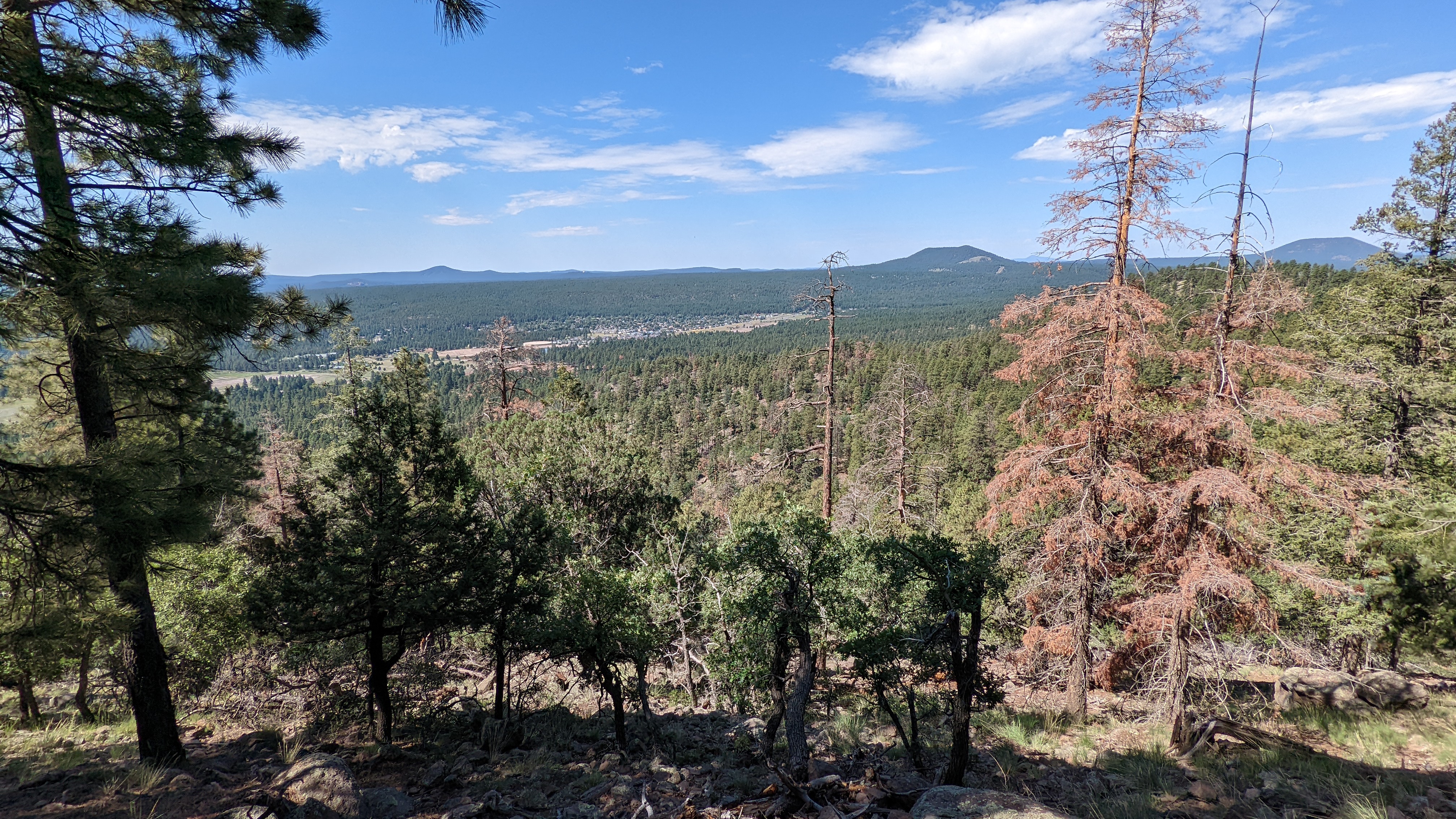
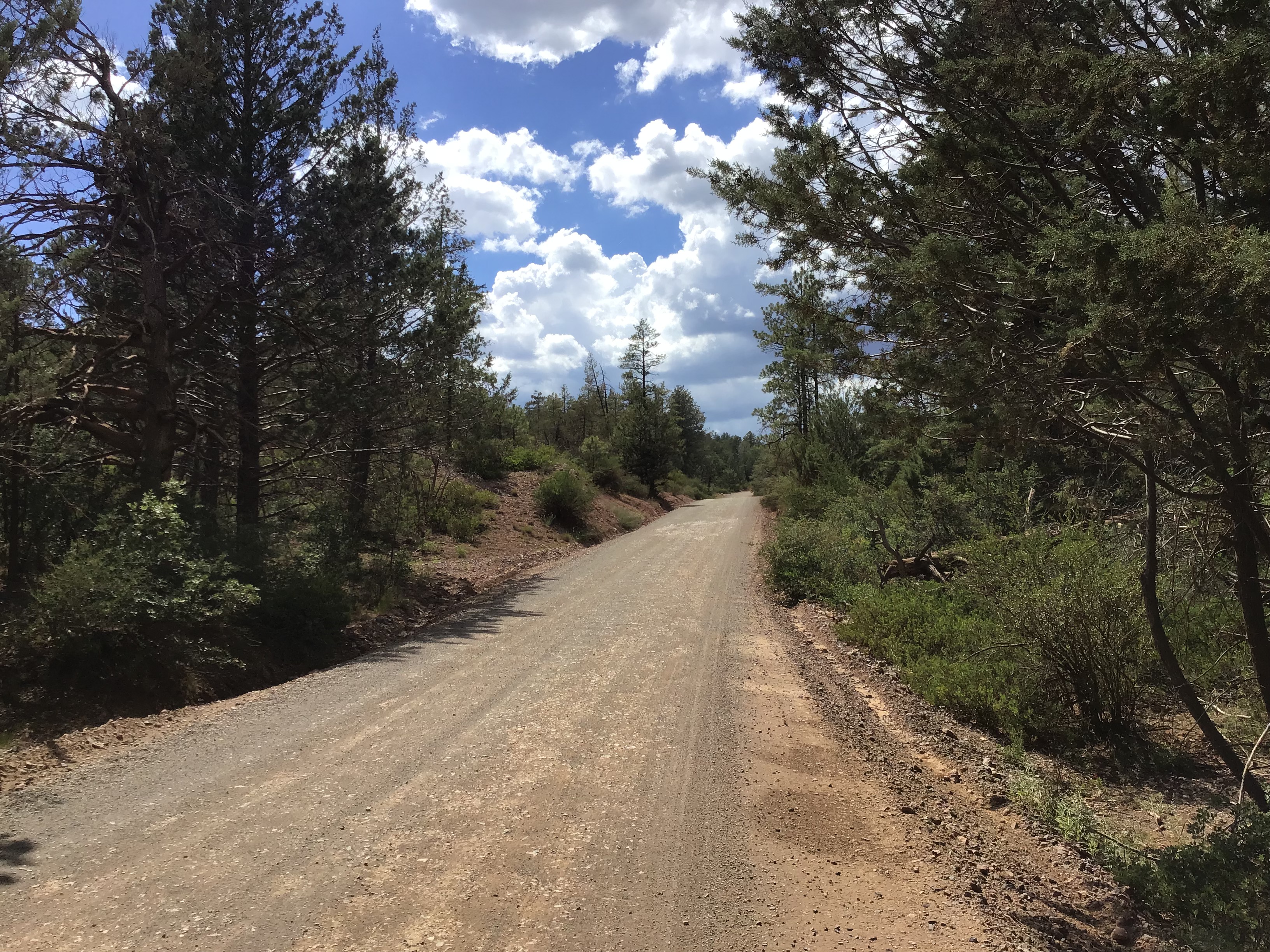
The Highline National Recreation Trail spans 50 miles below the Mogollon Rim east of Pine, north of Payson. The Arizona National Scenic Trail overlaps the Highline trail for 18+ miles on it's western end. There's been a massive restoration project occurring over the years to bring the Highline trail up to current standards for trail users. It's a huge undertaking requiring re-routes, naturalization and stabilization. The AZT portion is finally getting its due. As far as bikers go, it hasn't exactly been a favorite section of trail as it often involved miles upon miles of taxing hike-a-bike.
I wanted to see first hand how it was riding after a series of re-route projects have been completed. I gave myself two options: If things were going slow I could bail off the Highline at the Geronimo trailhead and drop down to the Control Rd. to complete a shorter loop. If I was making good time I'd continue all the way to Washington Park where the AZT leaves the Highline trail to ascend the rim. I'd also drop down to the Control Rd. to complete the loop.
I arrived at the Pine TH a bit after 7:30a to clear skies and temps in the 70's. Forecast was for a 50% chance of thunderstorms, so naturally I left my rain jacket at home...along with my cell phone much to my dismay when I realized it at the trailhead. My first thought was, drat, no pics on the ride. But hold on, I had my newer ipod in the car and remembered that it had a camera. So, all pics are from an ipod.
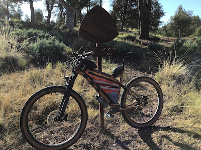 |
| Leaving the Pine TH. |
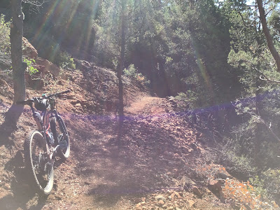 |
| The first re-route was barely 3 miles into the ride. Looked promising. |
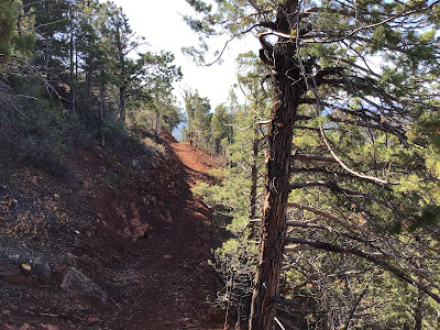 |
| I'm certain this project bypassed a horrendously steep, rutted hike-a-bike. |
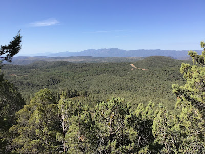 |
| Giant vistas were the reward. |
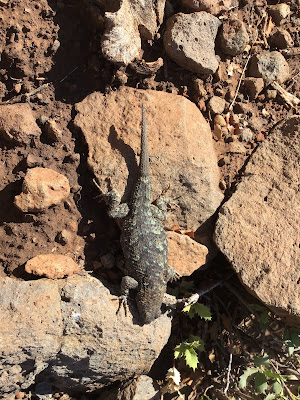 |
| This fella blended in, only noticed it because I happened to stop. Cool markings. |
Shortly after this I was crossing over a soggy spring fed area, I brushed against some overgrowth and got stung by a bee on the inside of my left upper ankle. Ouch!! Had to pull the stinger out too. How rude!!
 |
| This was the Highline I remembered. Large boulders in the tread making riding not worth the effort. |
There were a few sections like this, but overall the tread seemed fine. Perhaps just a general cleanup and removal of certain boulders would be the solution?
 |
| Land of ferns near the Geronimo trailhead. |
I had made good time so far, reaching the Geronimo TH before 10a, barely 2 hours into the ride near mile 8.5. Not blazing fast by any means, but it wasn't super difficult either. I made the decision to keep going to Washington Park, another 10 miles to the east.
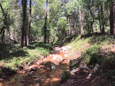 |
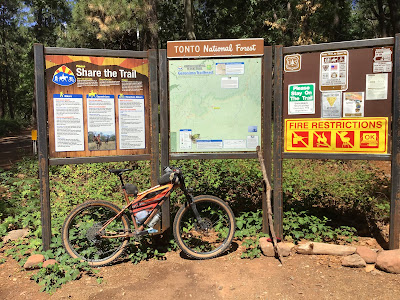
| Taking a snack break at muddy Webber Creek. |
 |
| Onward. I knew there was a climb out of the trailhead basin, but it was on good trail at least for a while. |
That lasted about a mile, then more hike-a-bike as I entered the sandstone layer, one I'm really not fond of.
 |
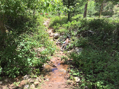
| A slice of Sedona makes an appearance. |
 |
| Snack time at W. Bray Creek, but what's that in the mud by the water?? |
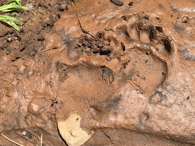 |
| Fresh bear prints!! I was on the lookout over the next few miles. |
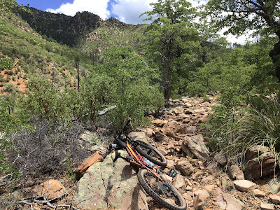 |
| Typical trail tread in the sandstone layer. Meh. |
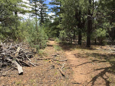 |
| Then it would turn nice and you'd feel like you were getting somewhere. |
 |
| I startled this guy as I walked passed. Timber Rattlesnake. Good thing he rattled, else I would not have noticed him!! |
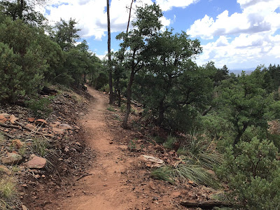 |
| Another re-route!! |
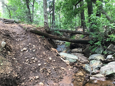 |
| Crossing Chase Creek. Good to see water flowing in all the creek crossings. |
The clouds were building providing occasional shade, but no thunder. I could tell it rained hard in the area the day or so before, but the tread was in great condition overall.
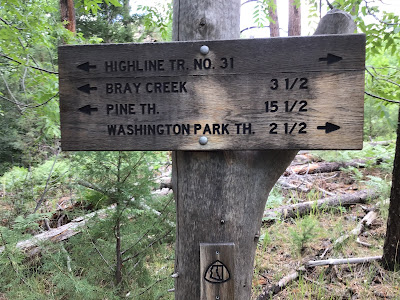 |
| Almost there!! |
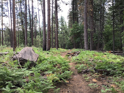 |
| I kept thinking how amazing this trail will be when fully restored. |
 |
| New signage near Washington Park. |
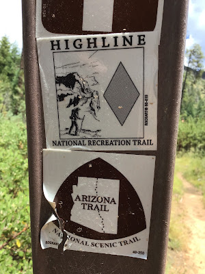 |
| If you're so inclined donate to one or both as each is doing great things for the trails we love. |
 |
| I reached the Washington Park TH at 1:15p, 5 1/2 hours from Pine. By comparison the other time I rode this was during my AZTR750 ride and it took 9 hours. Granted I had fresh legs and no bikepacking gear, but still. |
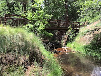 |
| Filtering water in East Verde River. |
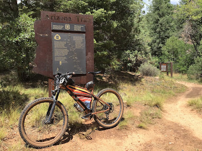 |
| Only 15 miles of gravel riding back to the car. |
 |
| The fire Control Rd. makes for great looping options in the area. |
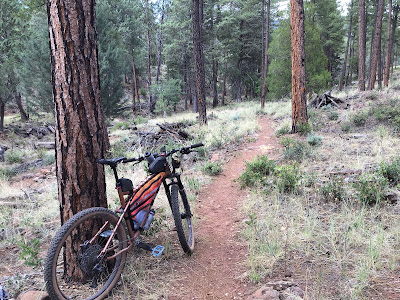 |
| Back on the AZT for the final half mile between AZ87 and the Pine TH. |
This ended up being a really good loop if you don't mind some hike-a-bike. I guesstimate I walked a little less than 2 miles over the Highline trail. Pretty sure I walked about 8-9 miles during the 750!! A few more re-routes and this section of trail is going to be prime.
I'm also surprised I didn't get rained on!! Lucked out on that one, I checked the radar after getting home and the area was socked in!!
Route flyover via Ayvri.com
Route: