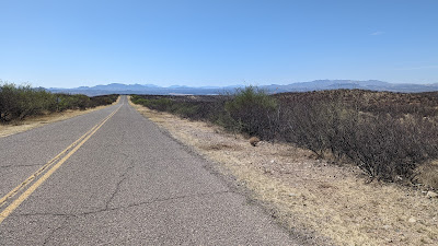
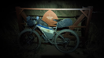
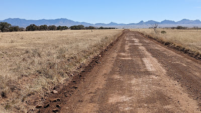
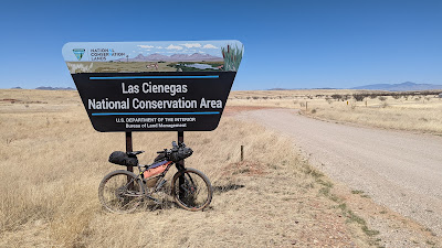
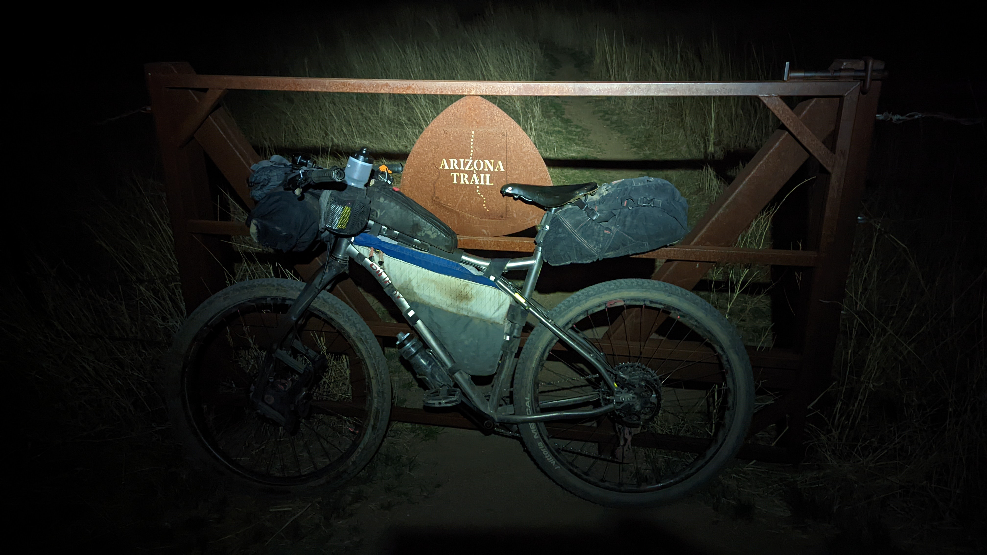
I've had the Sky Island Odyssey Loops (East & West) on my ride list for some time now. They are mostly dirt road routes in southern Arizona based out of the small community of Patagonia. I figured they would make a great training ride as I stay in shape to finish off the rest of the Divide route in June. I'd be riding my Divide setup, a Binary Bicycles Havok with Lauf fork.
It seems a lot of riders either pick one of the loops to ride or do a perimeter ride of the combined loops. That just isn't really my style, so I concocted a figure 8 of sorts so I could ride both loops in their entirety in the suggested clockwise direction for each.
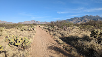
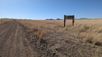
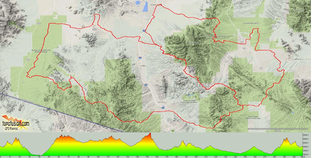 |
| East Loop is the upper right, West Loop hugs the Mexico border. |
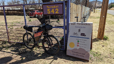
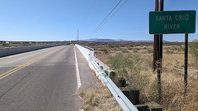
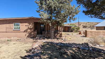
I put a bunch of feelers out to friends and one by one my list of riding pals diminished. *It should be noted that the East Loop requires a free permit to access private Babacomari ranch land and the Audubon Society's Appelton-Whittell Research Ranch. The ride must go on!! I had a couple a vacation days and departed south on a Wednesday morning. Of course in true fashion I was slow getting out of bed and hit the road about 1 1/2 hours later than I had hoped. I arrived in Patagonia sometime after 9:30a and instantly found my planned parking area a no-go. No overnight parking or camping all along the street I had targeted. Seems these were new-ish signs as others had posted about parking here. Social media to the rescue!! I recalled seeing a post about paid parking on route for $5 per day, safe location. If you're in the area, TerraSol is a great place to stage your ride. (Camping is available too).
The whole process was easy and made me laugh as I reserved my spot & paid for it in minutes. I then sent a text to Mary at TerraSol letting her know I'd be arriving in...2 minutes!! Haha. Parking resolved, now let's get this bike loaded and start riding.
Comedy hour continued as I fired up my new Garmin Edge530. I had loaded the track the night before and wouldn't you know...it wasn't there. Nada. Well, crap. Since I'm this savvy experienced bikepacker, I had my recently retired Edge705 with me and it did have the track loaded. Brilliant!! Of course I didn't have the correct mount for my handlebars only the newer one for the 530. (Insert facepalm here) No problem, I'll use my 530 to record the ride and to see mileage cues, etc. and keep the 705 in my riding shorts front pocket and look at it when a turn comes up. There really aren't a ton of turns on this route and the 705 is set to beep at me if I go off-course by 50' or so, just keep a keen ear alert.
Ok, is this junkshow finally ready to begin the ride? I think so. Jeez, it's now 10:45a!! So much for an 8-ish a.m. start. I was starting the ride on the East Loop, a 134 mile route that I planned to ride in two days. I'd come back to the car, change clothes because why not, get some resupply, then head back the way I came to find a camping spot early on the West Loop. That loop is 175 miles and I planned three days for it with the goal of finishing early on Sunday for the 3 hour drive home.
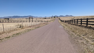
As mentioned, TerraSol is on route so it was an easy paved coast into town. I was finally riding!!
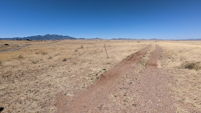
 |
| Yay bikes, let's go!! |
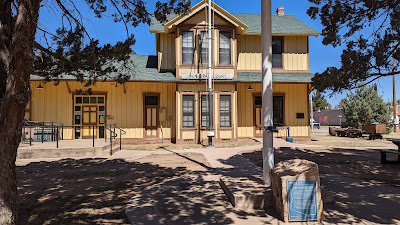 |
| A turn of the century, like 1900 era, train depot was saved from demolition and now serves as the Municipal Court. |
 |
| Patagonia still has that old west vibe. |
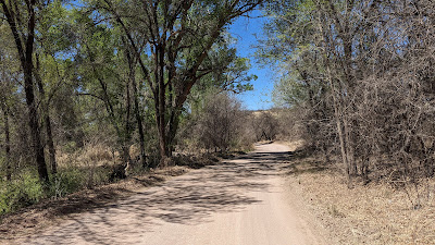 |
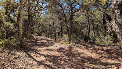
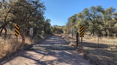
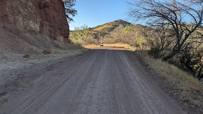
| The route immediately enters the Patagonia-Sonoita Creek Preserve. |
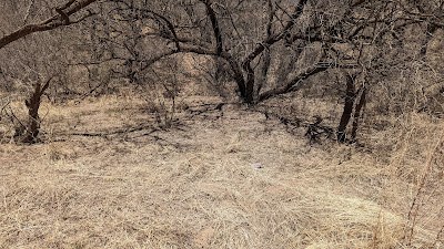 |
| Three Javelina were crisscrossing the road in front of me, I managed a camouflaged pic of one. |
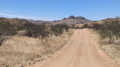 |
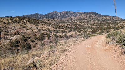
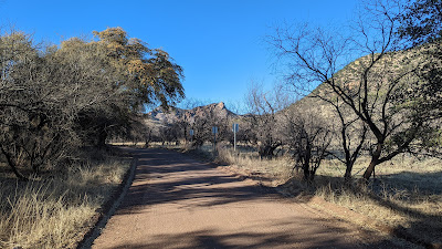
| Into the Santa Rita Mtns. foothills along Salero Ranch Rd. |
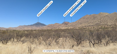 |
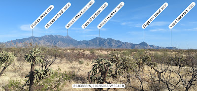
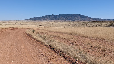
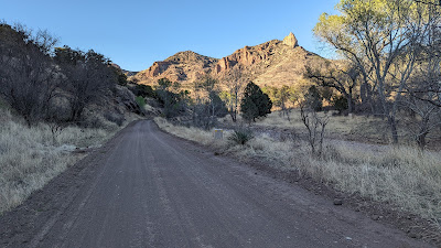
| Mt. Wrightson is the highest peak in the Santa Ritas and the East Loop circumnavigates it. Mt. Hopkins has an observatory atop its peak. PeakFinder app. |
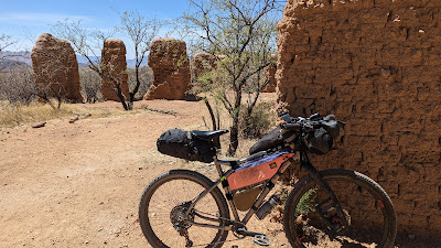 |
| Cool adobe ruins at Alto Camp along the way up. |
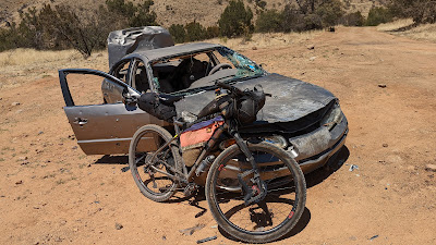 |
| I guess the drive up was enough. #pewpew |
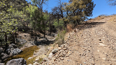 |
| A flowing creek in Josephine Canyon followed by hike-a-bike. |
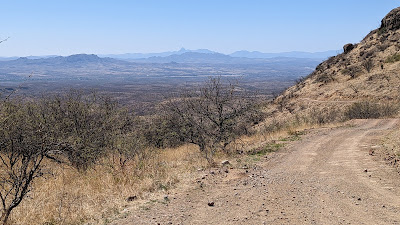 |
| I crested a second, unnamed pass around 5,000' then began the long steady descent to the valley below. |
 |
| Some zigzagging on 2-track with constant views of Mt. Hopkins while Elephant Head makes its first appearance on the far left. |
 |
| Ahh, free miles. Downhill and paved, plus no traffic. |
 |
| Don't be fooled, there's no water here. |
 |
| Side view of Elephant Head. |
 |
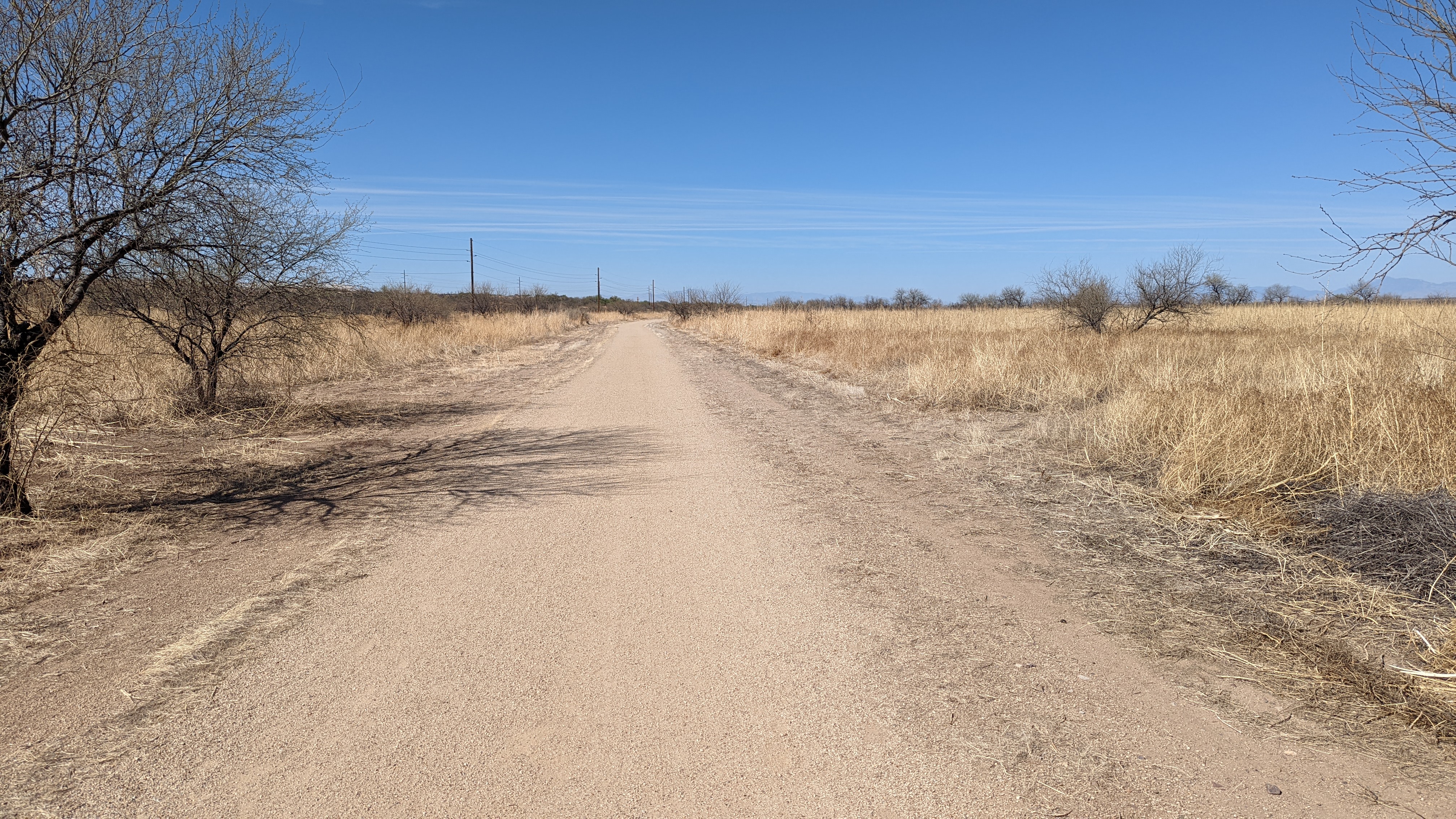
| The trail here was a nice, flat gravel pathway. |
 |
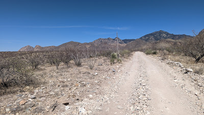
| Fast, easy miles here. |
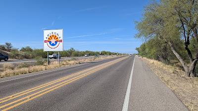 |
| Arizona, now 110 years old!! I-19 frontage road leading to Green Valley. |
It was nearing 5p, I was just over 40 miles into the ride when I arrived in Green Valley. McD's calorie binge to the rescue!! It had been pleasantly warm most of the afternoon, but it's always a treat to add ice to the Camelbak bladder. I chowed down and stuffed a couple of cheeseburgers in my framebag for dinner. My goal after the late start was now Kentucky Camp. It's a bit over a mile off route, but if breezy, the buildings are a good wind break, there's water and restrooms available as well. It just made sense and it was near mile 65 of the route, near halfway.
 |
| I'm now on the north side of the Santa Rita Mtns. PeakFinder app. |
 |
| The initial miles out of Green Valley were paved and a gradual climb. At least it was fast and hardly any traffic. |
 |
| Ahh, back on dirt... |
 |
| ...or should I say sand?? |
My 2.2" tires were about at their limit for tolerable cruising. I was able to keep pedaling, but it became a little annoying after a while. I was really looking forward to reaching Box Canyon Rd. as I knew it was a good riding surface.
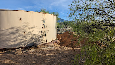 |
| This water tank looked familiar, but the churned up dirt was new. We rode by here a few weekends ago doing a North Rita Loop. |
 |
| Finally reaching Box Canyon Rd. in golden hour. |
At the beginning of the ride I really hadn't planned or wanted to do any night riding. The late start changed things a bit and I've ridden the route from the pic above to Kentucky Camp already, so doing some night riding wasn't too bad, I wasn't missing any new scenery. Plus, the moon was almost full.
One thing did hit me though as I pedaled along. I was missing my friends on this ride. I do a good amount of solo riding and have done plenty of solo bikepacking, almost exclusively during ultra races. That's to be expected. But this was different, 300 miles over 5 days, touring. Solo? I wasn't really digging it. It had nothing to do with the route. I also realized I didn't need a 300 mile 'training' ride for the Divide in June. Somewhere along the climb up Box Canyon I had a change of plans. I'd finish the East Loop the following day, then pack up and go home, saving the West Loop for when some friends could join as almost all of that route would be new-to-me terrain.
It's funny, but that simple decision put me at complete ease. Perhaps I had some hidden anxiety about doing the West Loop solo. I don't know, but I was really looking forward to getting to Kentucky Camp and hoping for a long restful night of sleep, something that has eluded me on recent bikepacking rides.
 |
| Well, isn't that something. |
 |
| The climb continues as the daylight fades. |
 |
| Thanks to Scott from our previous ride here, I knew when to turn around to find the hole in the rock!! |
After sunset there were only a few vehicles on Box Canyon Rd. It was peaceful out there, landscape illuminated by moonlight.
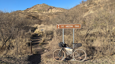
My stomach began rumbling near the top of a short climb coming out of Greaterville. Framebag cheeseburger FTW!! One more hike-a-bike along a jeep road section of the Arizona Trail brought me to the top of Sucker Gulch. All downhill to Kentucky Camp from here, only a mile+ away. I'd have to retrace that mile+ in the morning to rejoin the route.
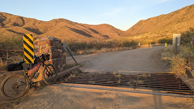
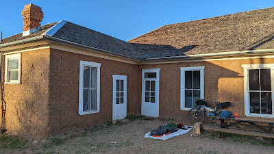
 |
| This gate marks the entrance to Kentucky Camp a few minutes past 9p. |
I set up camp, ate the other cheeseburger and was settled in by 10p. It was a good day, some 66 miles and over 6,000' of gain. I could feel a good night's sleep coming.
Day 2: Kentucky Camp to Patagonia
For the first time in a few bikepack outings, I slept great!! Maybe a solid 7+ hours. The camp host came by after I was up and about and brewed some coffee while we shared stories of the area. Of course one such story included a thru hiker getting bit in the face by a rabid skunk not far from Kentucky Camp!! Dang. No critter sightings for me during the night.
I packed up and was leaving Kentucky Camp by 7:45a. I had about 70 miles or so until the end and the two biggest climbs were completed the day before. I had to retrace the AZT dirt road miles about a mile back to the route.
 |
| Cozy spot for the night. |
 |
| Only a few feet away, sink with good water & outhouse. Also a motion sensor light and outlet. It's luxury bikepacking!! |
 |
| The other structure at Kentucky Camp where the host resides. |
 |
| Back at the top of the hill leaving camp. |
 |
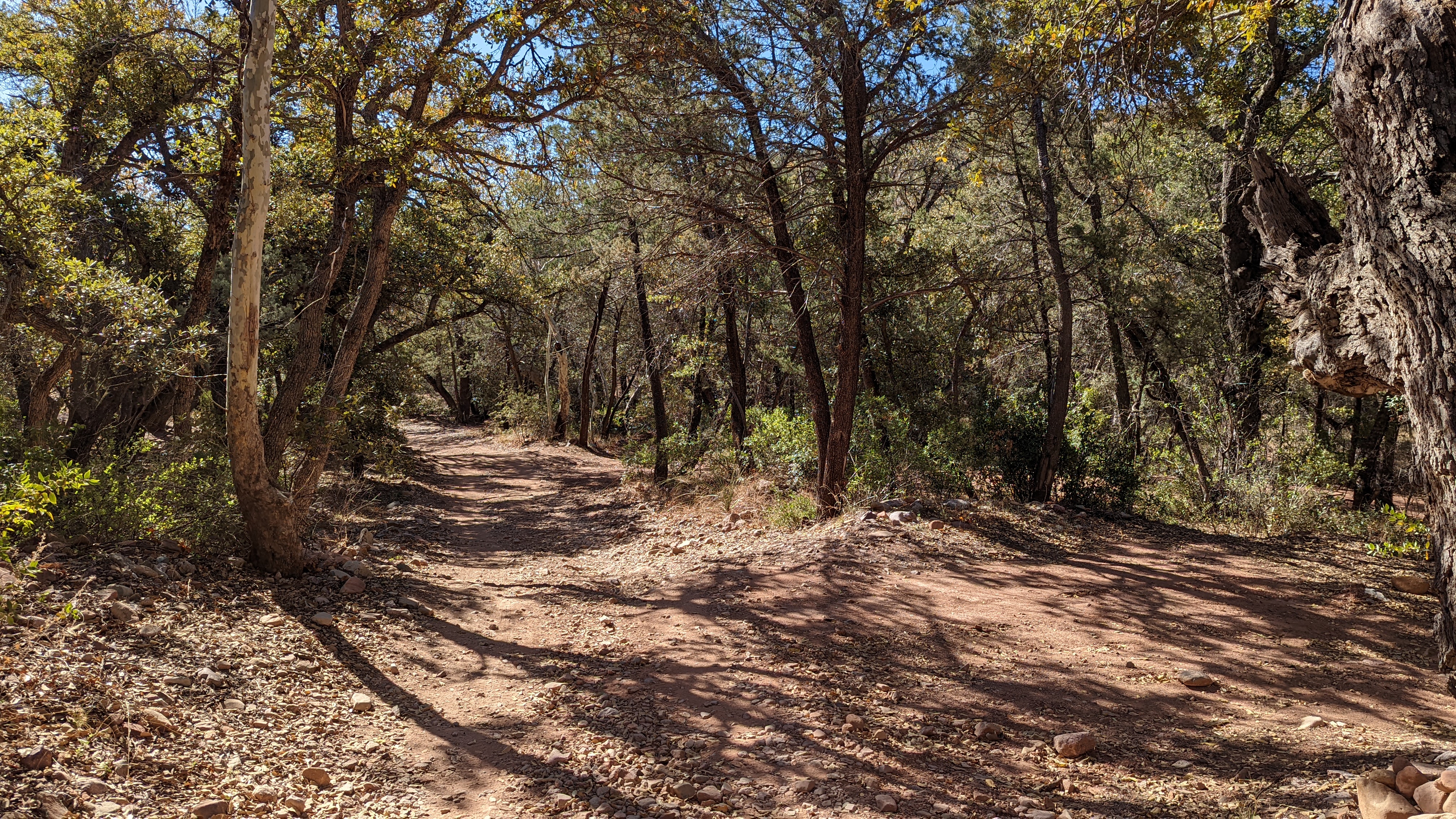
| Pretty sure this stretch was new-to-me. |
 |
| Plenty of steep ups & downs along here. |
 |
| Nearing Gardner Canyon. |
 |
| One of the closest vantage points to Mt. Wrightson. |
 |
| Beautiful Gardner Canyon. I thought about camping here had I started earlier the day before. |
 |
| Water was flowing too. |
 |
| I'd be turning left towards Hog Canyon. |
 |
| The landscape immediately opened up to the south after a short hike-a-bike. |
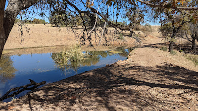 |
| I've ridden through here the opposite direction a few times, but don't ever recall seeing water here. |
 |
| Cruising down Santa Rita Rd. It almost seemed longer going downhill than my previous uphill visits. |
 |
| Hillside artwork welcoming you to Sonoita. |
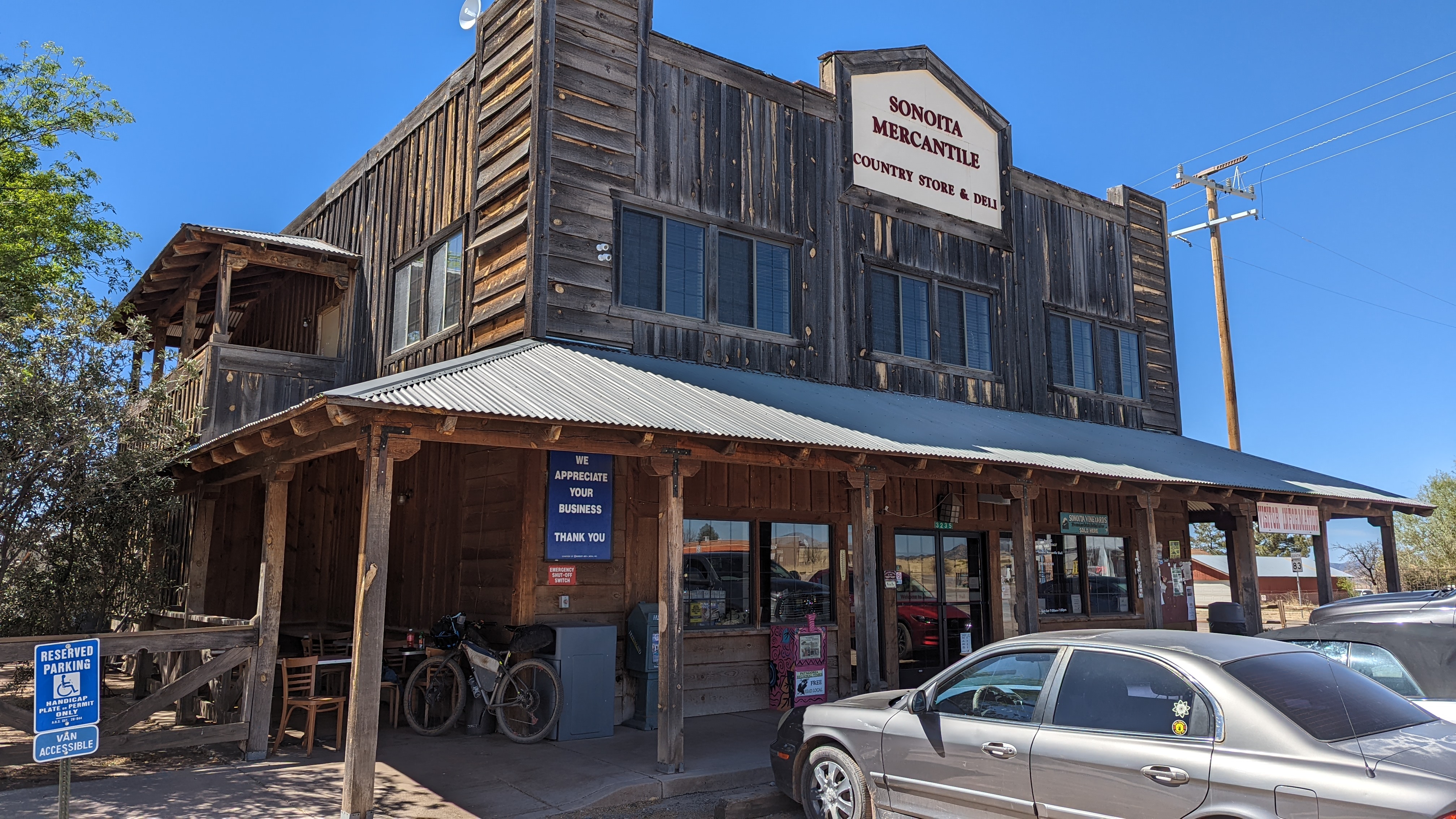
I had debated going a mile off-route to the small outpost of Sonoita, but it was early and I was craving a chocolate milk and second breakfast. Figured I could load up on other drinks too for the rest of the day.
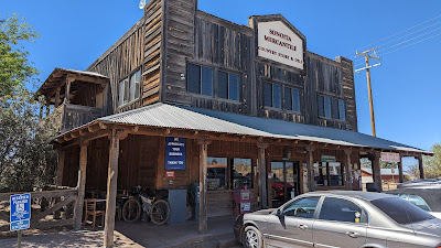 |
| The Sonoita Mercantile has a little bit of everything. |
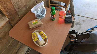 |
| A bikepacker's delight!! And an outlet next to the table. |
 |
| I was really glad I made the detour to town, as I was back on route barely 45 minutes later. |
 |
| The route kicks north for a short bit, making a bypass around a private ranch. |
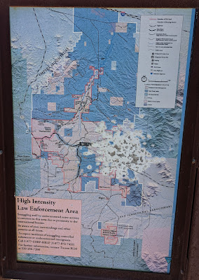 |
| You are here. Interesting map showing the high intensity law enforcement areas for smuggling and border crossing activity. |
 |
| Exiting the area as I cross SR82. |
 |
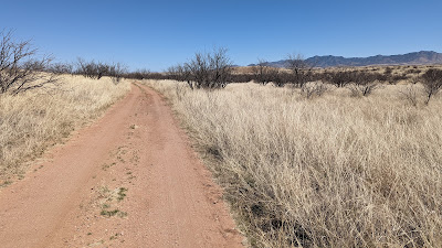
| A more faint 2-track connected me to Lower Elgin Rd. |
 |
| The miles stacked up quickly on this stretch. |
 |
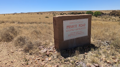
| This is the part of the route a permit is needed, else you have to stay straight on the main road. |
 |
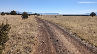
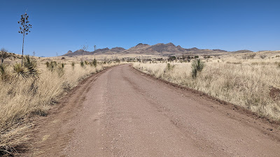
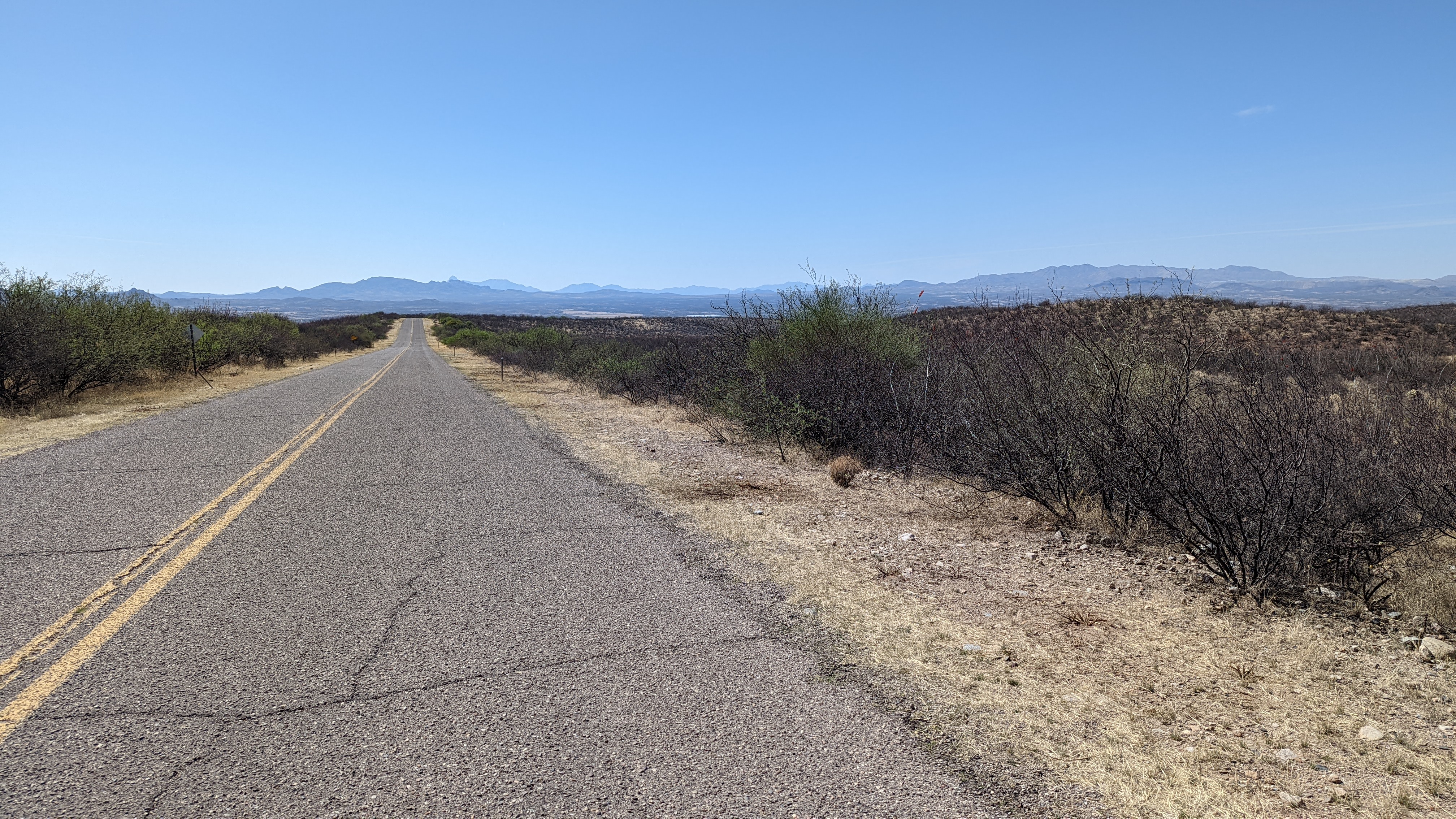
| Fast roads and big country out here. |
 |
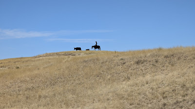
| Caught a small group of Pronghorn Antelope galloping across the hillside. |
 |
| This area had a very New Mexico vibe to me. |
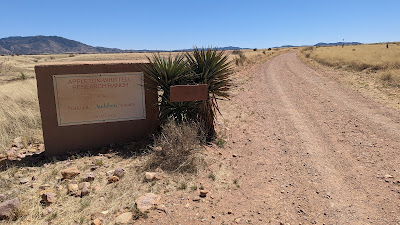 |
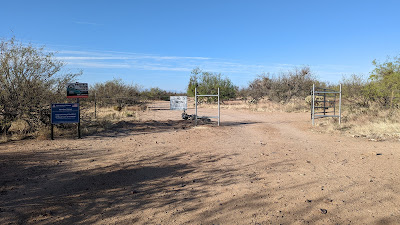
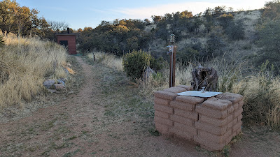
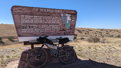
| Entering the Appleton-Whittell Research Ranch, the second area that needs a pre-arranged permit (free) to enter. There is a padlocked gate at the southern end, they give you the code when you register. |
 |
| Register!! |
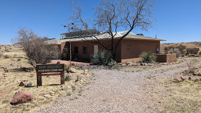 |
| The research center. |
I pulled into the complex looking for the place I was told I could kick back and relax. I was ready for my lunch I picked up in Sonoita. There were a couple people milling about, checking out my setup from afar, but nobody said anything and before long everyone was gone. I didn't see anywhere obvious to get water, but spotted a table and chair under some shade. Lunch time.
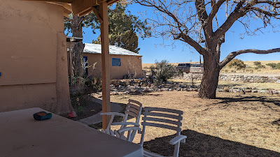 |
| Relaxing view, but for some reason I had the vibe I shouldn't be here. Was this someone's residence?? |
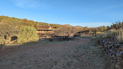
I didn't hang around too long and made my way back to the dirt roads. A few minutes later I spotted another group of buildings up ahead.
 |
| The bunkhouse!! |
Aha!! This was the place I was looking for!! Perhaps I got turned around in my email description since I was coming in from the north, not south. Anyway, water was available and this looked a bit more peaceful than the research park. Noted.
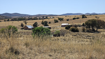 |
| This photo shows how close the two compounds actually were. Bunkhouse in the foreground, research park in the distance. |
 |
| A short hike-a-bike brought me up to this ridgeline. The locked ranch gate was near this area. Don't forget to register online to get the gate code!! |
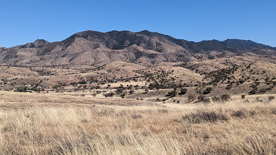 |
| Huachuca Mtns. |
 |
| Nearing the exit of the research ranch complex. |
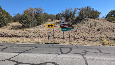 |
| SR83. I've driven this road many times to Parker Canyon Lake for the AZTR. |
 |
| It was nice to ride through this area, not much traffic in these parts. |
 |
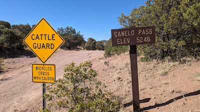
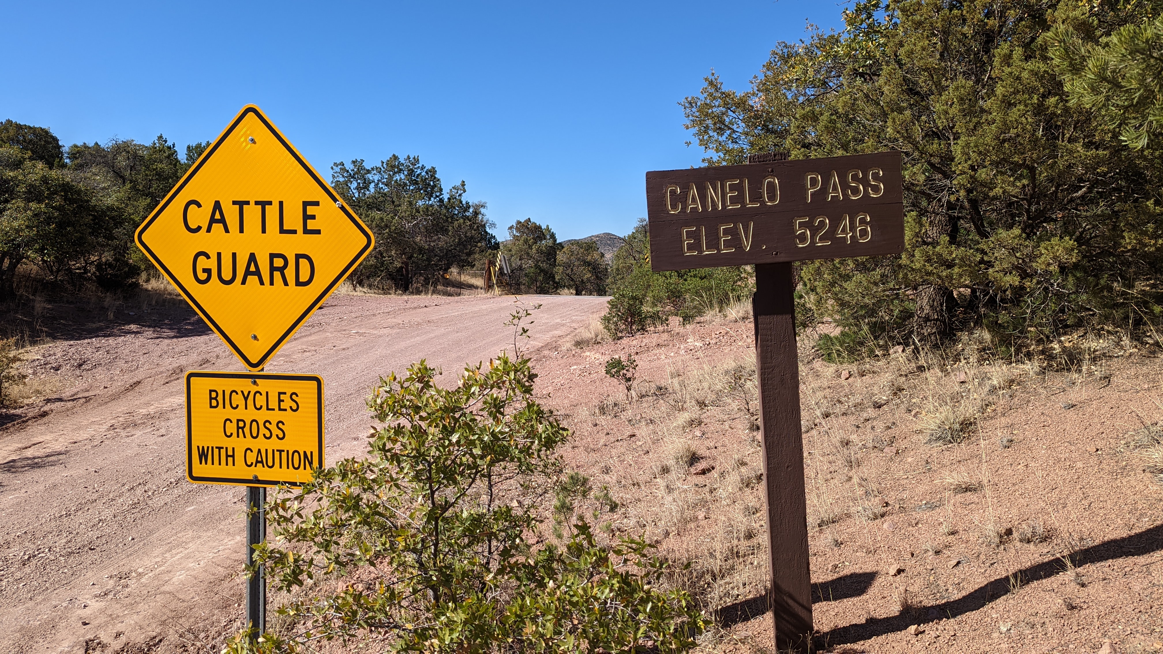
| I had always wondered what Canelo Pass Rd. was like, now I know!! |
 |
| Passing by the Arizona Trail, the halfway point of the Canelo Hills. |
 |
| Heading up to the saddle straight ahead. |
 |
| Nice place for a quick snack break. |
 |
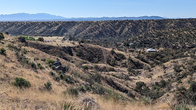
| Overlooking the San Rafael Valley. |
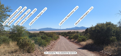 |
| A few of the named peaks in Mexico. PeakFinder app. |
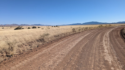 |
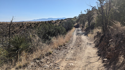
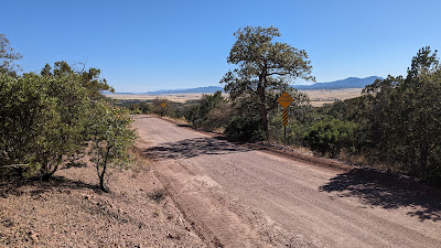
| The dirt roads were fast, smooth and the miles flew by. |
 |
| Patagonia Mtns. creep into view. |
 |
| Looking back towards the Canelo Hills. |
I crested the final climb before the long steady downhill to Patagonia. There was a road at the summit where the Sky Island Odyssey West Loop veers off, had I stuck to my original plan, I'd be riding back to this point, a 10 mile climb, from Patagonia. I was glad I wasn't doing it now. The first mile down was kind of steep, but the grade relented and it was a nice coast for a few miles. I came to a split, Harshaw Rd. was to the left and I knew I'd be riding that into town, but the route turned right onto Harshaw Creek Rd.
 |
| The start of Harshaw Creek Rd. |
 |
| It was a beautiful ride passing by a few ranch properties. |
 |
| The views weren't bad either!! I was really digging this route. |
 |
| Farther down, Harshaw Creek actually had some water flowing. |
 |
| Spotted a couple deer crossing in front of me. |
 |
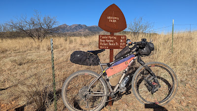
| The old legacy AZT. This sign marked the end of the Canelo Hills passages and was always a welcome sight. There's a different singletrack route now that takes trail users about 4 miles up SR82 north of town. |
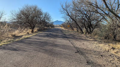 |
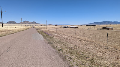
| Now on Harshaw Rd. for the final paved miles into town. |
I arrived back at TerraSol around 5:30p. Plenty of daylight remaining. I packed up, changed and went into town to find a large burger.
 |
| The Wagon Wheel Saloon delivered!! Green chili bacon cheeseburger!! |
This was a fun route, really liked my 2-day pacing for it. I don't think I'd change anything other than starting a little bit earlier on the first day. I enjoyed camping at Kentucky Camp, going off-route to Sonoita was a winner. I could see stopping at a couple of wineries on day 2, then camping at the Appleton-Whittell Ranch stretching the ride to three days. The first day+ of riding was definitely a mtb route, the roads were much more gravel friendly after crossing SR83 north of Sonoita on Day 2.
I'm really looking forward to riding the West Loop, probably next spring.
EDIT: Here's the recap of my ride along the
West Loop.
Route:


No comments:
Post a Comment