

Leaving Phoenix the day before the ride
Instead of setting up a shuttle, Seron and I carpooled with his wife supplying the ride back to the big city, can't thank her enough for doing that. We made it up to Flagstaff Friday evening, picked up a cheap albeit smoking room, then cruised over to the Beaver Street Brewery for probably the best Oatmeal Stout I've ever had.
Our room wasn't too far from the starting point, so we decided to get a head start and ride over to Safeway to meet up with the other 18 or so riders for the day. This was going to be my first real test at riding at altitude but I figured I had been riding quite a bit lately and should be ok, just go at my own pace I thought. We started rolling just after 6am with a short stint on pavement before turning off onto the forest roads. I found out quickly that I could not keep up and as I watched every last rider turn off the pavement a few hundred yards in front of me I thought for a moment 'I may be riding this one solo today'!! I turned onto the forest road and no one could be seen, at that point I brought up the navigation of the route on my Garmin, all was well.

Photo by Seron
I love riding through the pines, it is such a contrast to the rocky/prickly desert I call home. As I was pedaling along soaking in the views, the fresh air and solitude, I began to grow more and more uncomfortable riding. What is going on? I know the altitude is hurting me a bit today, but this was totally unpredicted. Perhaps my pack wasn't loaded correctly? It weighed in at 24lbs as I'm still trying to gauge how much of this and how much of that I really need on these long endurance rides. I just kept riding, really had no other option, no one else was behind me and I wasn't in pain just discomfort. It'll work itself out I thought.

Photo by Seron
I finally came upon another rider! It was Noel, and it was good to have some company for a change. We rode together for a bit, but he started to pull away and my discomfort grew. I finally started to think 'was something wrong with my bike?' I started scanning around coming to the realization that my seat was off center by the smallest of margins pinching a nerve in my right leg! I stopped, adjusted my seat and viola! I felt like I was ready to RIDE! A few more miles past and I kept a visual on Noel the whole time when we came down a long straight section to where Seron and Brian were waiting and having a snack. The trail sweeping group had officially been reunited. The four of us stayed together the rest of the day enjoying the views and slogging up a few climbs.

A small section of burnout along the way
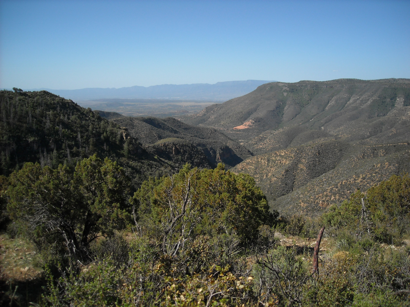
At about mile 30 the dense forest begins to give way to broad views into the surrounding wilderness areas. The route we were on was a small ribbon of access between two Wilderness areas, the Red Rock Secret Mountain Wilderness (RRSMW) & Sycamore Canyon Wilderness (SCW). The views we shared on this ride are not widely enjoyed by the masses, it was quite a treat.

Bill Williams Mtn. in the distance

A unanimous photo op

Ride the spine!
While standing here taking pictures, the four of us were buzzed by a couple of sparrows coming within inches of making contact - crazy!

RRSMW - Sedona way off in the distance

Spring blooms over SCW and the red rocks of west Sedona

Sycamore Canyon

One of the longer climbs of the day, but I cleaned it!

Our one and only snake sighting of the day

View of the San Francisco Peaks from our lunch spot

After lunch we had a few short climbs to the lip of the Casner Mtn. descent. A barrage of switchbacks lead down the face of the mountain followed by more forest roads on our trek towards Sedona. The roads were in decent shape except for a few miles of washboarding, not my favorite kind of riding for sure.

Here I am looking like I am enjoying a good HaB session!

From which we came

Leave your altitude at the door!


SCW of west Sedona


Brian leading the way

Noel in hot pursuit

Quite a drop after only one switchback

We follow the powerlines for a bit then off to the upper left on forest road

Seron negotiating an upcoming turn

Whooosh!!


My first collared lizard sighting! I chased this guy for about 30 yards on the trail before he bailed out to this rock

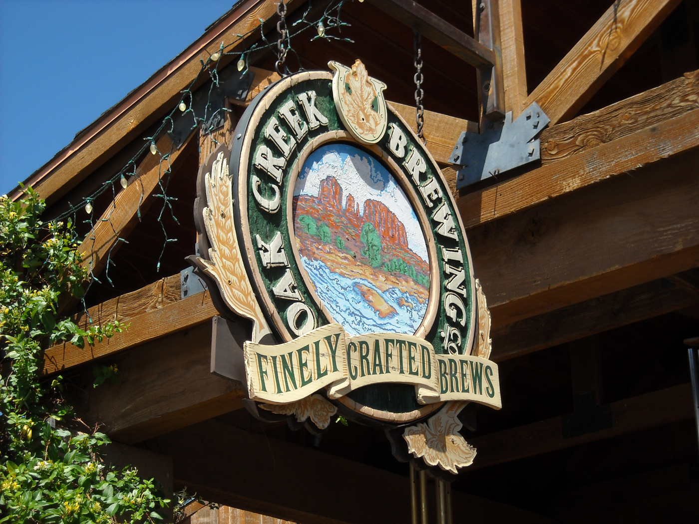
Sedona getting closer & so is Oak Creek Brewery!

A look back at Casner Mtn.

Finally on to the red dirt

It took about 55 miles, but we found singletrack!!

Sedona was in full bloom to boot


Brian and Noel heading out

Chimney Rock

Noel finishing up the dirt portion of the ride,now where's the brewery?
The finish line

What a fantastic day on the bike. The final totals were 61.24 miles and 4333' of gain on this mostly downhill ride. A special thanks goes out to James for taking the reins on this event. The AES continues to deliver the goods in a grassroots environment, I'm glad I am able to participate. It is also great to share these experiences with other like-minded friends, Seron, Noel and Brian it was a pleasure riding with you on this one. Cheers!


