I recently stumbled upon an article online talking about a new trail extension along the Black Canyon Trail, BCT, north of Orme Rd. Say whaaa?? In the article a hiker went out from a small trailhead south of SR169, taking the General Crook trail east until it met with the new BCT. Their total round-trip hike was 7 miles. I didn't see a date on the publication, but figured it was fairly recent.
I asked Kelly if she wanted to check it out, knowing we'd probably ride to the current end-of-trail, then have to backtrack. We were both on board and our Plan B ride would be the Copper Mtn. Lollipop down the road.
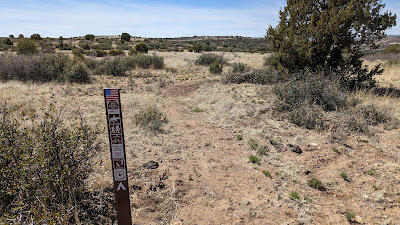
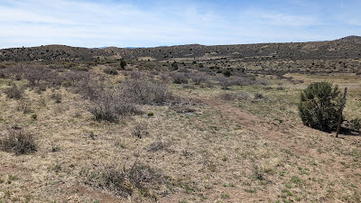
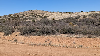
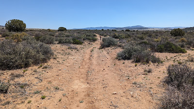
It was a bit warm in the Valley, but we were heading a few thousand feet higher and much cooler temps greeted us. We found the small trailhead off S. Old Cherry Rd. The General Crook trail cuts right through the lot.
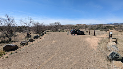 |
| General Crook trailhead. |
We hopped on the trail going east as the hiker did and were immediately greeted with deep sand. Ugh. Twenty or so feet later, we could pedal, let's see if this gets better. It did, but it was obvious, this trail didn't get much usage. We generally stayed straight following the cairns.
I was also trying out my new Garmin Edge530 for the first time and didn't know how to get the mileage to display!! Kelly had a Garmin watch, so I kept asking her how far we had gone so we had a sense of where the hiker turned around.
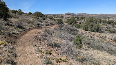
The General Crook trail had a little bit of hike-a-bike, some rubble and vague trail, but mostly easy to follow. The BCT was already signed when we reached it a little over a mile into our ride.
 |
| New northern terminus of the BCT...for now. |
Eventually, the BCT will extend all the way to Camp Verde!! I've also heard rumors of a spur trail linking to the Prescott area trails. That would be rad AF.
 |
| Soft, lumpy, fresh tread, but it rode fine. |
 |
Climbing through some cool rock formations.
|
I didn't bother taking a bunch of pics since we both figured we could grab more on the way back...
 |
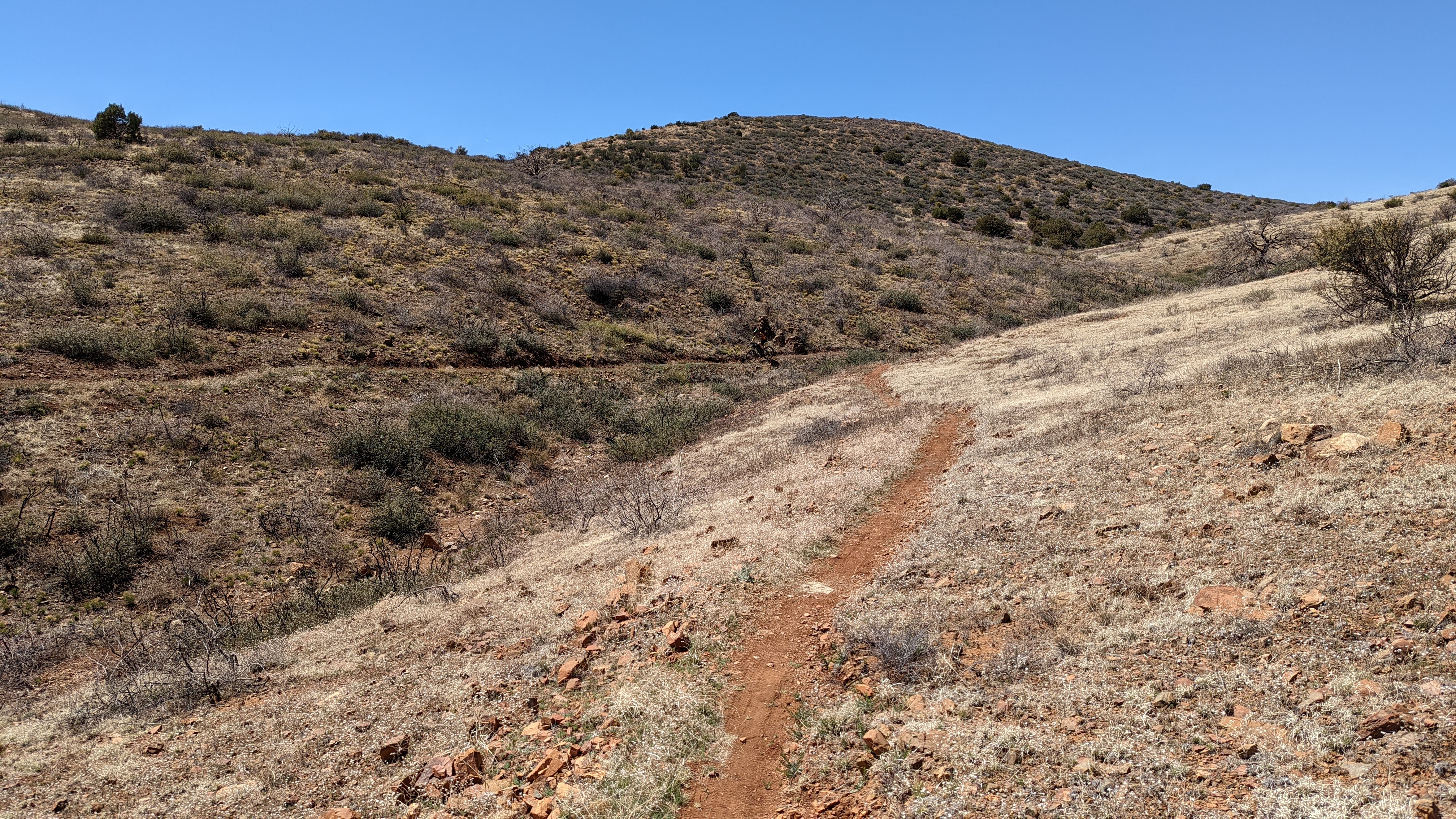
| Nicely contoured trail through the foothills. |
 |
| You almost didn't notice you were climbing. |
We had gone well past where the hiker had turned around and sections of the trail tread were fairly packed in. How much farther would the new trail go??
 |
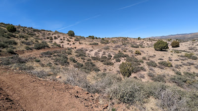
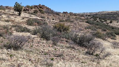
| This is most definitely the high desert. |
 |
| Another wonderful climb. |
We were now closing in on 6 miles and I thought I could see Orme Rd. on a near ridgeline. I checked Trailforks and sure enough we were about a mile north of it. We both decided if the trail were to end abruptly, we'd go cross-country to reach the dirt road and make a loop out of it.
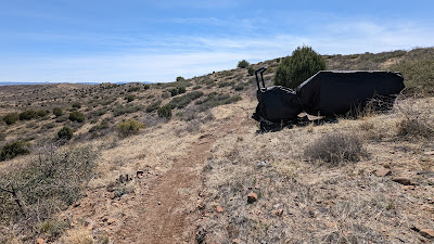 |
| The trail tractor, must be nearing the end. |
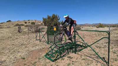 |
| One of four new rollover gates, we only had to open one gate on the BCT & one on General Crook. |
We could now see the old northern terminus trailhead off Orme Rd. below us, the trail is gonna connect!! We were both surprised and stoked!!
 |
| New BCT dumping out onto Orme Rd. |
A couple years ago I scouted a portion of the AZ1000 route through this area, so I knew we had an all dirt connection back to SR169, then around the north side of the highway until reaching Cherry Rd.
There was another new 4 1/2 miles of singletrack south of Orme Rd. that has replaced some bumpy jeep roads, but it was getting warm so we opted to save that for another ride. Speaking of which, it got my brain going about how to link all the new stuff together. One week later, I did exactly that. See the continuation of this post.
 |
| Orme Rd. brings you back to SR169, where you can get on this: Old Cherry Rd. |
 |
| There are a few false summits, but some fun downhill sections. |
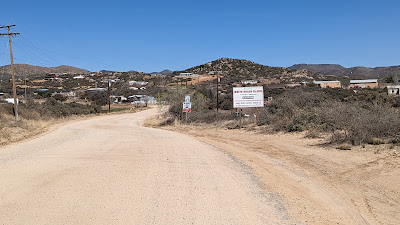
We arrived at Cherry Rd. where we'd cruise downhill on pavement for about a half mile to SR169 again. Crossing the highway was the dirt road we drove in on to reach the General Crook trailhead. It ended up being a really nice loop. Get up there and put more tires on the new tread!!
Route:
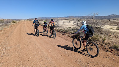
As mentioned above, I put together a route combining my old northern terminus loop with the new one for a 56 mile figure 8 starting from the Big Bug trailhead off SR69. I put a couple feelers out to see if anyone wanted to join in the fun. Jeff, Nancy, Ben & Ian were all game. The day before, I rode the 30 mile Ripsey Loop and was curious to see how my legs would respond.
Aside from the bigger mileage by adding the lower loop, the other difference in this ride over the one a week earlier was we'd be riding all the dirt road sections first and finishing on the BCT.
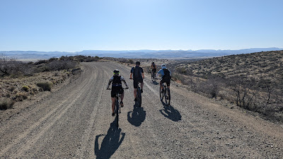 |
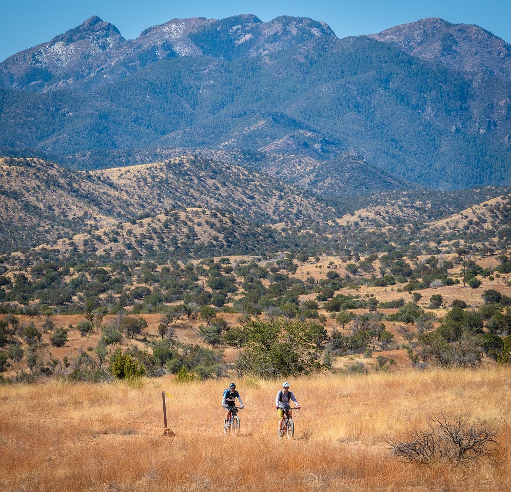
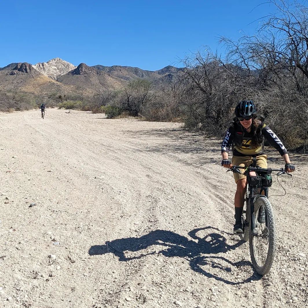
| The first 10 miles are fast as we follow Old Sycamore Rd. north. |
 |
| The buffed grading on Orme Rd. |
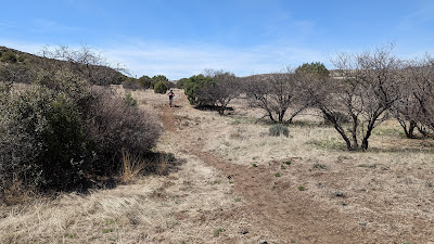
Like the previous ride we hopped over SR169 along Old Cherry Rd. to Cherry Rd. and onto the General Crook trail. I noticed how in one week's time it was already riding better!! There was a small group of hikers exiting the trail as we arrived. I guess the word is out.
 |
| A clear section of General Crook. |
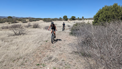 |
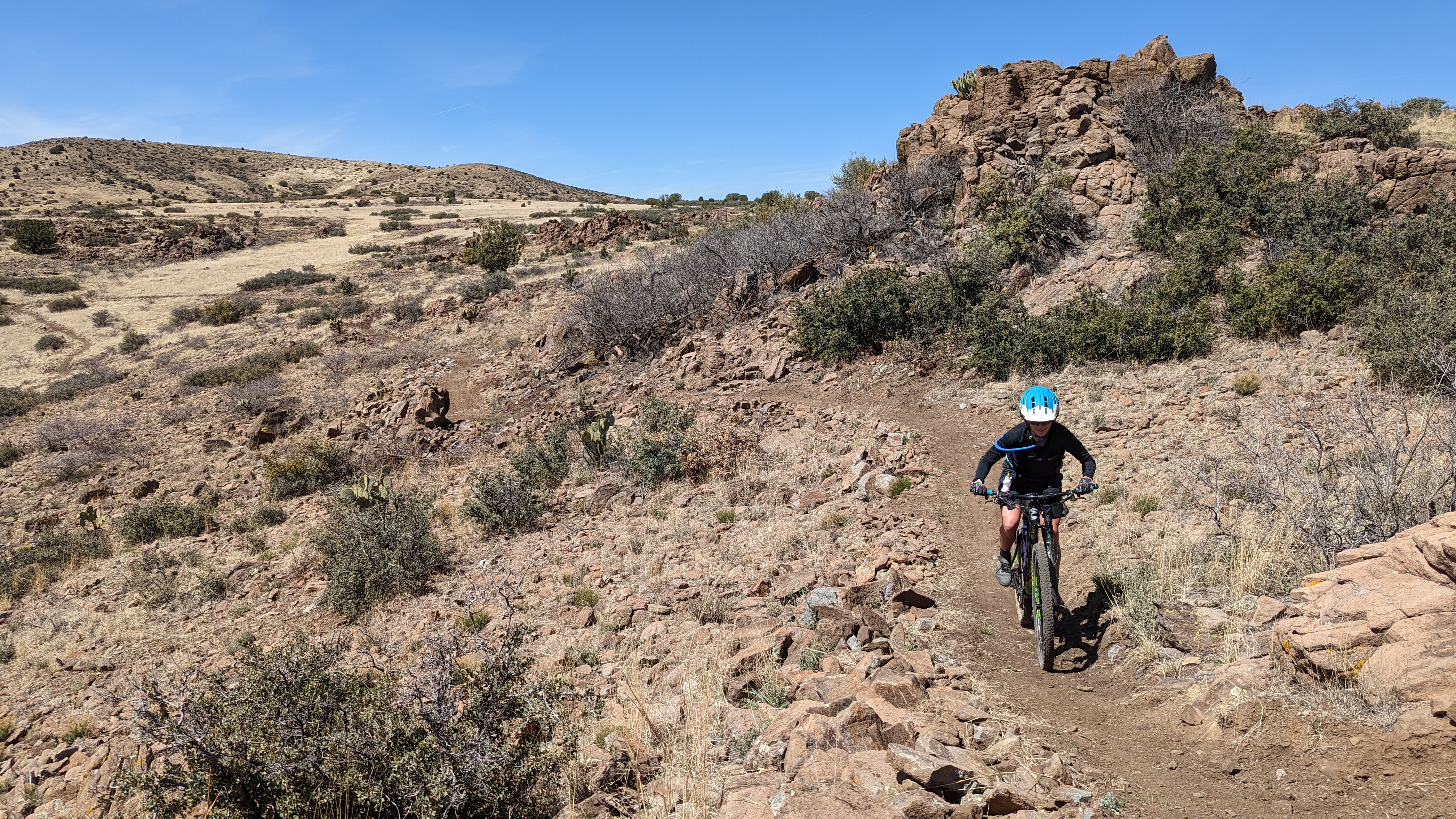
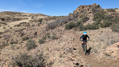
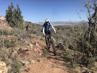
| Nancy riding through the vague section right before it links up with the BCT. |
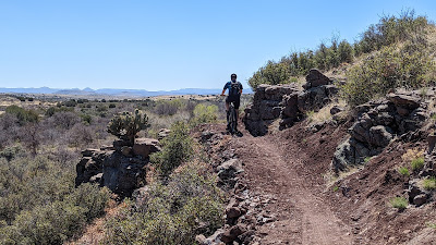 |
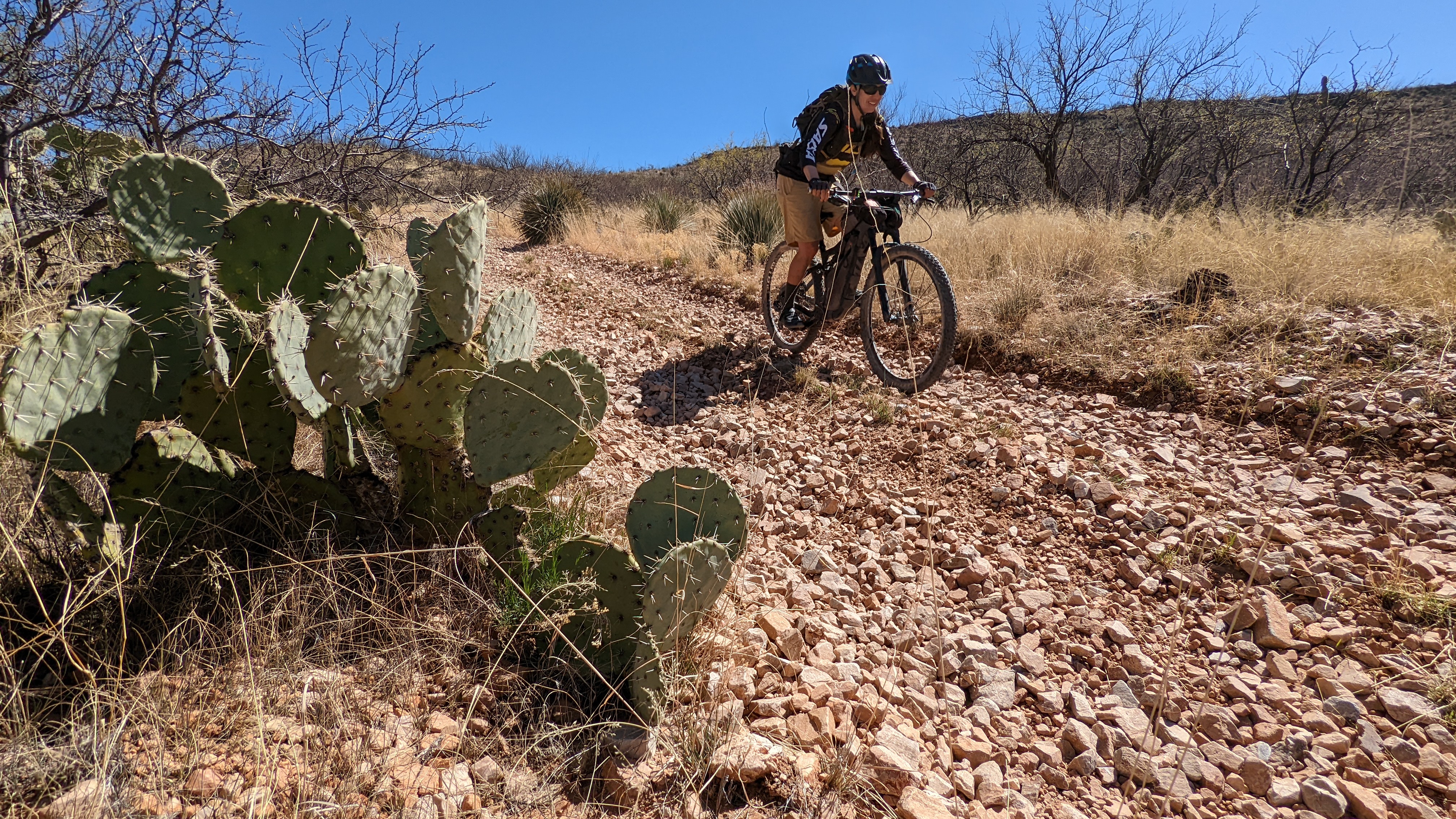
| Fantastic routing and trail building through here. The Prickly Pears even grow right out of the rocks!! |
 |
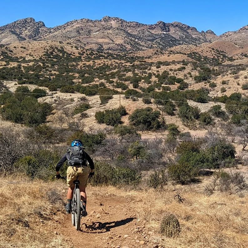
| Ian a little higher up the grade. |
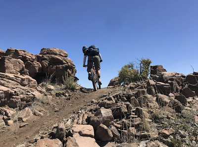 |
| Over the top I go. Photo by Ben. |
 |
| Ian glides across smooth trail in a sea of lava rock. |
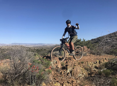 |
| Heck yeah!! Photo by Ben. |
 |
| Jeffro approved!! Photo by Ben. |
Put this one on your list and go ride it!! It's higher elevation so the ride season lasts a bit longer compared to the Valley.