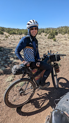
June is fast approaching and I had just enough time to squeeze one more bikepacking outing into my schedule. I had been eyeballing the Craters & Cinder Cones Loop that Kurt came up with a few years ago. I wanted something more along the lines of what the Tour Divide offers, namely dirt roads and saddle time. It just so happened that the annual Pinyons & Pines Bikepacking race was scheduled to depart the same time. I thought it would be cool to be at the start to see some friends off, then go about my business on my route. The two routes overlap a bit early on, but in the opposite direction. I figured I would see some racers while out on tour mode.
A few days before the start I reached out to Dana, the organizer, and confirmed the start time...6a!! Yikes. I thought it was at least 7a. Hmmm. I didn't have any of my stuff ready to depart the day prior, so an early alarm was set. 2a. I managed to drag myself out of bed and make the drive north getting to the start with 30 minutes to spare, but dang, it was cold!! My temp gauge in the car was reading 25* on the drive north. Way too chilly for this desert dweller. I found a nearby place to park and mingled with friends before they headed out.
 |
| Dan Moses all giddy before the start. |
 |
| Brie Hevener & Meg Knobel ready to roll. |
 |
| Brett Parke, in orange, always smiling. Eventual winner, Andrew Strempke caught in my shadow. |
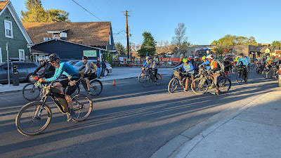 |
| 6a, off they go!! |
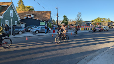 |
| Bikepacking race starts are funny, slow roll, no sprint to the front. |
I relocated a couple blocks away and made my way towards a good cup of coffee and breakfast. Might as well let the sun warm things up a bit. I found my usual overnight parking place and readied myself & bike for the ride. It was about 8a by the time I got going and a good 10+ degrees warmer!!
It was about this time I realized I never topped off my water for the ride. Oops. I only had about a liter in my camelbak bladder. No worries, I'll just cruise back over to
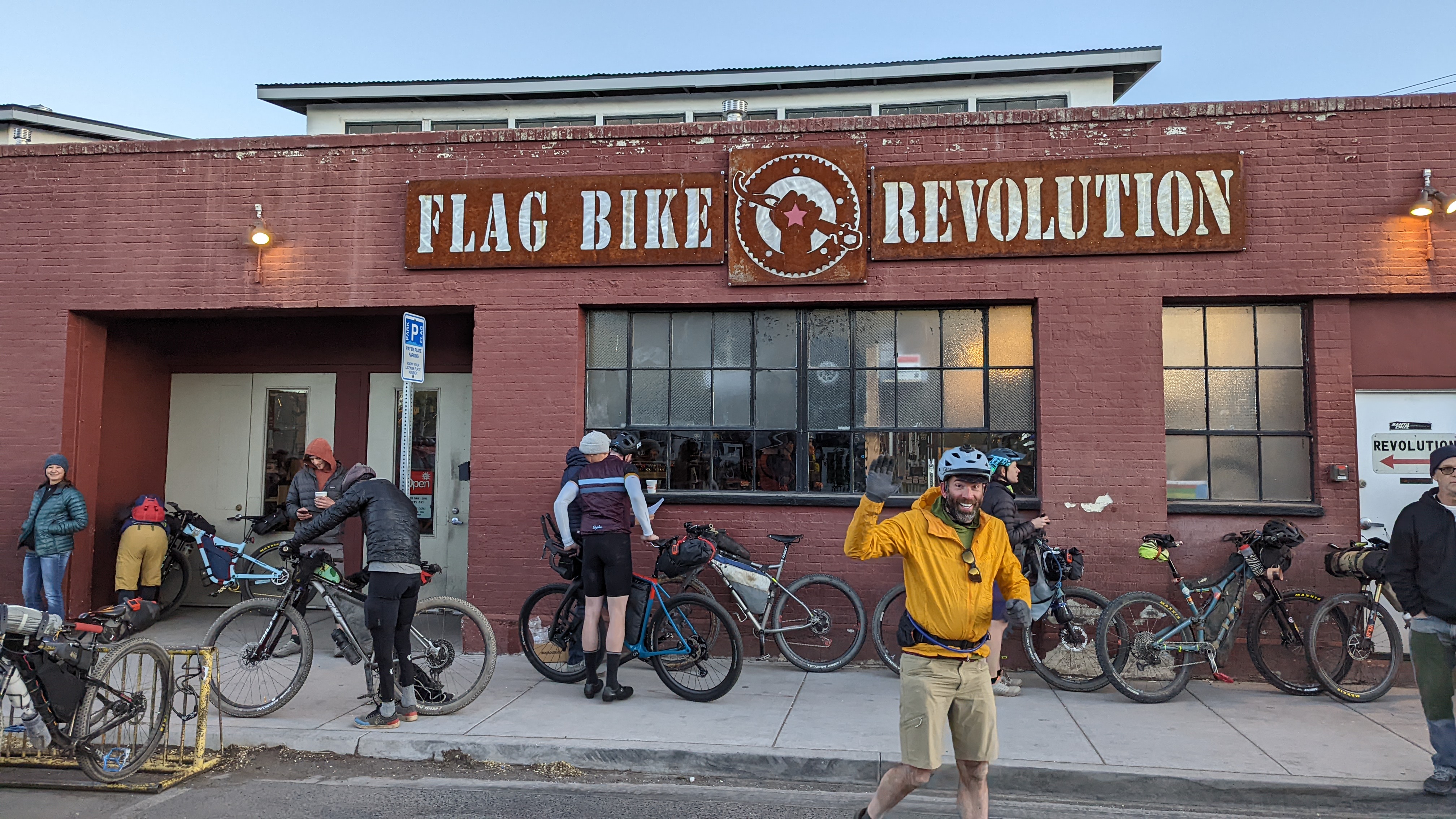
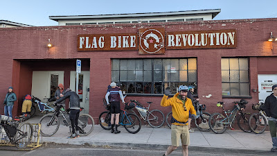
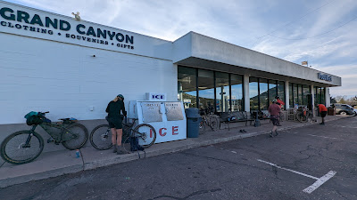
Flag Bike Revolution where the race started... Oh yeah, they opened early just for the race, then closed until normal business hours. I also needed a restroom, but didn't want to leave my bike sitting out anywhere as I didn't have my lock. I wandered around a bit, then saw a lady out watering her garden. I asked if she knew where a nearby public restroom was, then simply offered her place. Thanks!! I topped off water too and was finally ready to ride. So I thought.
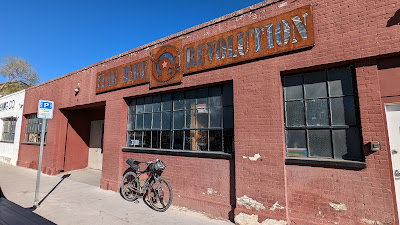 |
| A very quiet Flag Bike Revolution at 8a. |
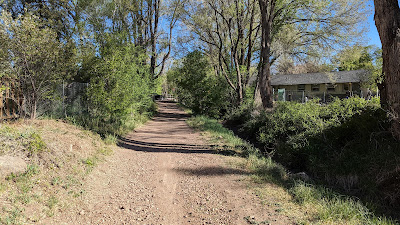 |
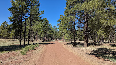
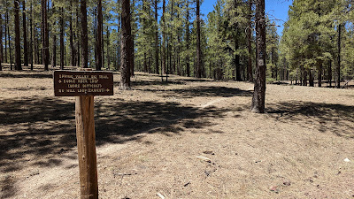
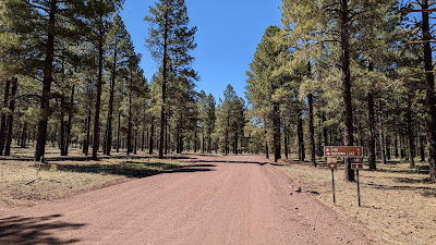
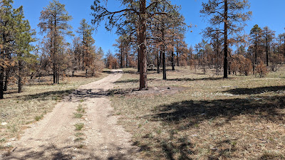
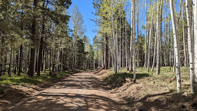
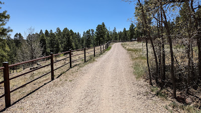
| A few blocks away and the dirt begins on the Karen Cooper segment of the FUTS. |
I'm still getting used to my new Garmin Edge530 GPS device. I had loaded the course the day before and verified it on the unit. However, this morning, I loaded the course, saw the overview map, but when it zoomed in there was no track to follow. I tried reloading it a couple different ways, but still got the same result. So frustrating. I figured I wasn't doing something right, but it wasn't clicking. I missed a couple of early turns as I resorted to navigating via phone, which I don't have mounted on my bike. This was not an ideal way to start.
 |
| Topping out on Observatory Mesa. |
I was about 2 miles into the ride and I really needed to figure out this GPS snafu. I made a post to the Facebook hive and barely a minute later my buddy, Arunas, came through via a video call. He has an Edge830 device, only major difference is the 830 is a touch screen and my 530 has buttons. We went through how he loads a track for navigation and I immediately saw what I wasn't doing. When the track is loaded, the top of the menu highlights the text: Ride, then below it are other options. I had been scrolling down to the other options instead of simply selecting 'Ride'. That's all is was. Now I had a line to follow with directional arrows!! Frustration levels decreasing. Thanks, Arunas!! I'll get the hang of this 530 soon enough, it's tough to break free from 12 years using another device, Edge705.
 |
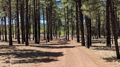
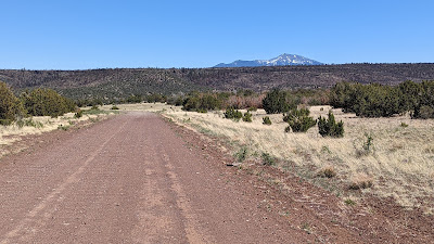
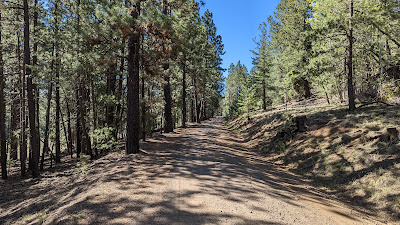
| The terrain flattened and the miles flew by. |
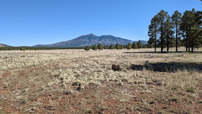 |
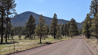
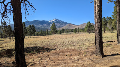
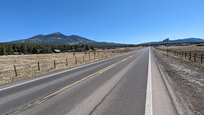
| Only a small glimpse of snow on the south facing slopes of Mt. Humphreys, Arizona's highest point at 12,633'. |
 |
| Relax, pedal, breathe. I was really looking forward to the solitude of this route. |
 |
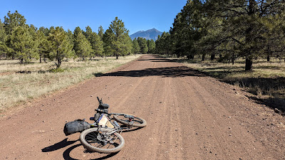
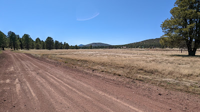
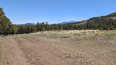
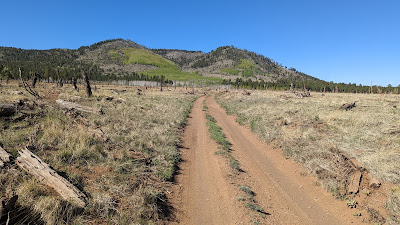
| Gradual ups & downs were the theme of the morning. |
 |
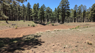
| Spring Valley Loop, looked like a fun place tucked in the woods. |
 |
| Crossing over some nordic ski trails. |
 |
| First aspen sightings. |
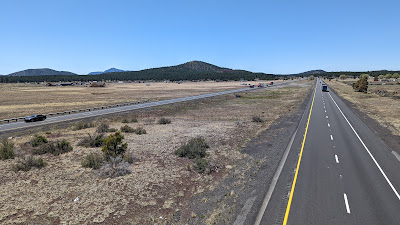 |
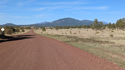
| I-40 crossing, Bill Williams Mtn. in the far left distance. |
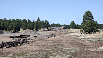 |
| Beating the trail to the railroad crossing. |
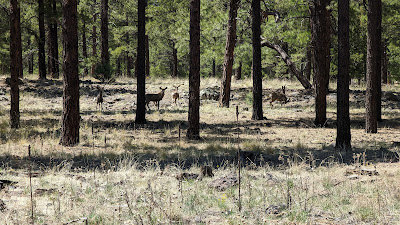 |
| Small herd of deer to go along with the handful of elk I saw earlier. |
 |
| Cabins dot the wide open meadows. |
 |
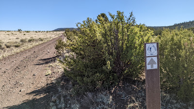
| This sign could be confusing as I-40 is straight ahead, but FS140 is to the left. |
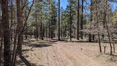 |
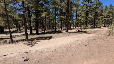
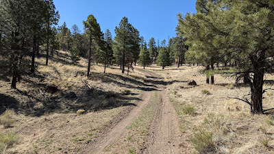
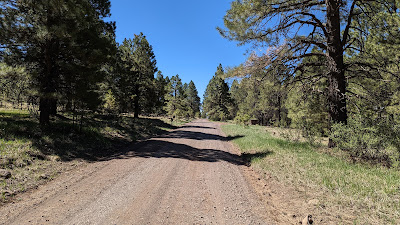
| It wasn't all wide, buffed out forest roads. Here, a much less traveled option. |
 |
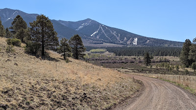
| Closing in on Bill Williams Mtn. and resupply in town. |
Almost as soon as I reached the paved road I saw 3 racers, I waved as I sped by going downhill and one fella yelled my name. I couldn't make out who it was until I pulled up Trackleaders in town. It was Perry Jewett from South Dakota along with a couple of other guys. A fourth & fifth rider weren't too far behind as I rolled into town.
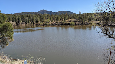 |
| Santa Fe reservoir along Cataract Creek. |
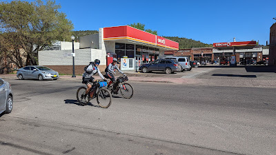 |
| Jeff Sowers with the blue front roll gliding through Williams. |
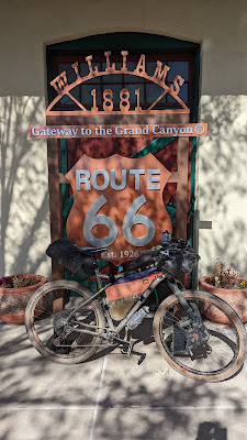 |
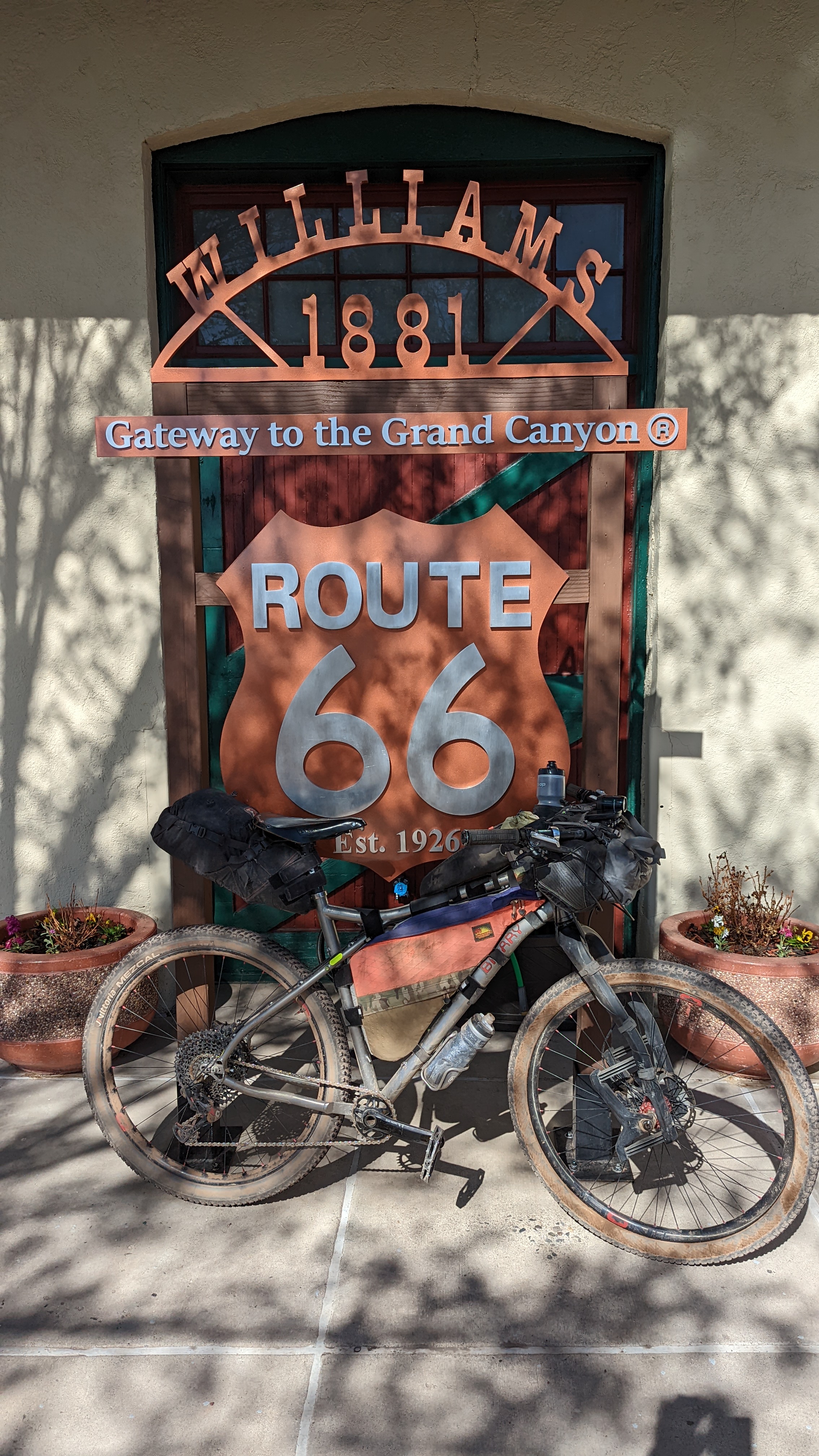
| Cool Route 66 display. |
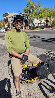 |
| Dan Moses looking relaxed at mile 85. |
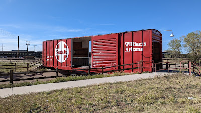 |
| Boxcar turned bridge. |
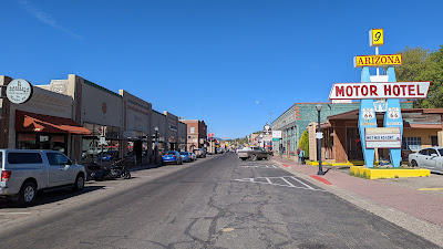 |
| Downtown Williams. |
I couldn't make up my mind on where I wanted to eat, so I did a lap through town checking out my options. Found another rider sitting outside at the Historic Brewing patio, seemed like a good choice. A huge pulled pork sandwich and belgian brew were the perfect combo. It was still fairly early as I arrived in town around 4p and was already at my distance goal of 60 miles for the day. Since I was riding solo, there was no need to setup camp hours before sunset, so I adjusted my plans to keep riding until 7:30p or so, right around sunset. If I notched another day over 60 miles it would line me up for a short final day back to Flagstaff and I could hang out watching the racers arrive. Sounded good to me.
 |
| Outside of Williams a rider approached on a long stretch of tarmac...it was Meg Knobel!! Heck yeah! You should go ride the Stagecoach 400 in SoCal now that she's in charge. |
 |
| Undulating terrain near the Williams airport. |
 |
| Last resupply on my route near mile 70 as a few racers refuel before town. |
 |
| Stay alert!! Only saw a few the entire ride. |
 |
| Golden hour settles in, the search for a camp location perks up. |
 |
| Found a nice level, soft spot nestled in the pines. Perfecto. |
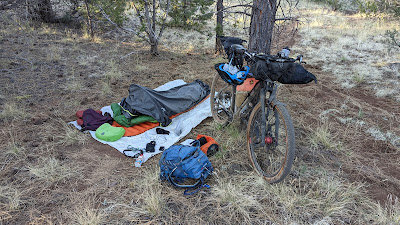
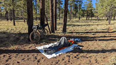
I was able to get camp setup as darkness fell. It had been a long day with the 2a rise and drive north. 78 miles in the books and I was ready to get a good nights rest.
I was awake before 6a, took my time getting ready, packing up camp, etc. I enjoyed a great nights sleep and was pedaling around 7:30a. My goal of sorts for the day was 70 miles, that would leave 30 to the finish the following day.
 |
| Fast 2-track for breakfast. |
 |
| The route dipped into Horse Trap Canyon and was filled with tall pines. Beautiful. |
 |
| Emerging from the trees to get a distant peek at the North Rim of the Grand Canyon. |
 |
| Cinder Cones approaching. |
 |
| Insert Great Western Trail joke here: It's Western. |
 |
| Climbing the flanks of Buck Mtn. |
 |
| Another rider?!? It's Joe Pavlik from Flagstaff!! I rode with Joe a bit during the 2019 Tour Divide. He was out doing an ITT of Pinyons & Pines, starting almost 12 hours after the Grand Depart. |
 |
| 4-way junction near Horse Lake. |
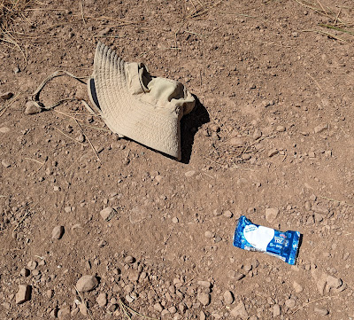 |
| Double dose of trail magic!! Unopened Rice Krispies treat & a sun hat. |
 |
| Another small herd of deer. |
 |
| Moritz Ridge towering over the pines. |
 |
| Humphrey's Peak coming back into view. |
 |
| Finally, a long steady descent after Tip Top Tank (green cow pond) and a series of false summits. |
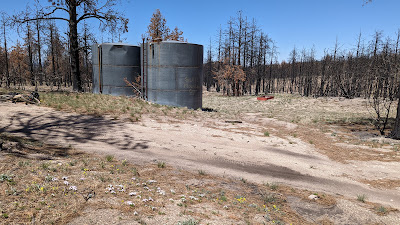
The day before I had asked some of the racers about the water source, Kendrick Spring, near where I'd be turning off the Pinyons & Pines overlapping section. A couple riders said it was dry, but I had faith Dana's report of clear water was correct as he also noted the concrete tank was a bit difficult to locate. I had a waypoint on the GPS, so when I arrived and didn't see a concrete tank, I began to wander around determined to find it.
 |
| This large open area was directly off FS910. The water source was up & over the earthen berm. |
 |
| This pic was taken at the top of the berm pictured above. Concrete tank & water is straight ahead near the large dark shadow. |
 |
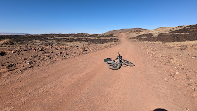
| Not dry!! Plenty of mostly clear, cold water. I topped everything off and realized I lost my Hawes Trail Alliance water bottle on the chunky descent down FS910. Drat. This would be the last water source until Flagstaff some 75 miles away. |
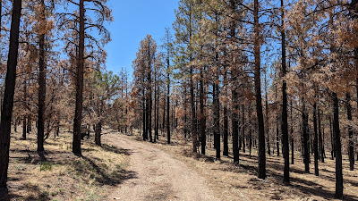 |
| Recent burn scar on Slate Mtn. |
 |
| More charred trees. |
 |
| Every other potential water source was dry. |
 |
| Nary a drop. Good thing I didn't need any. |
 |
| A welcomed long steady descent. |
 |
| Not much traffic on this 'road'. |
 |
| Clear view of the San Francisco Peaks. |
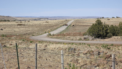 |
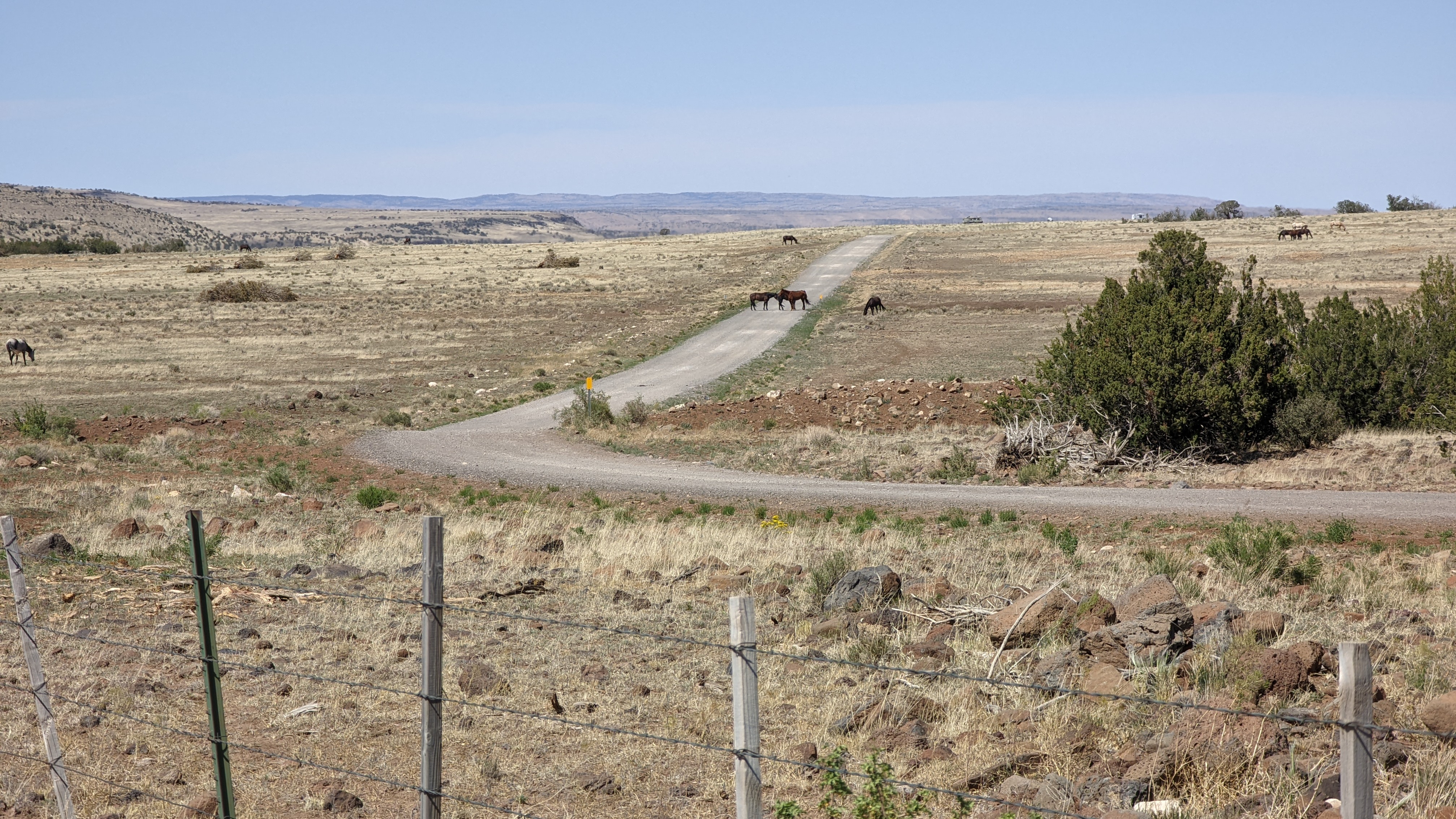
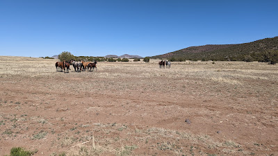
| Horses roaming free on Babbitt Ranch along the old AZT alignment. |
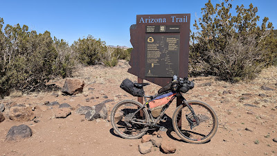 |
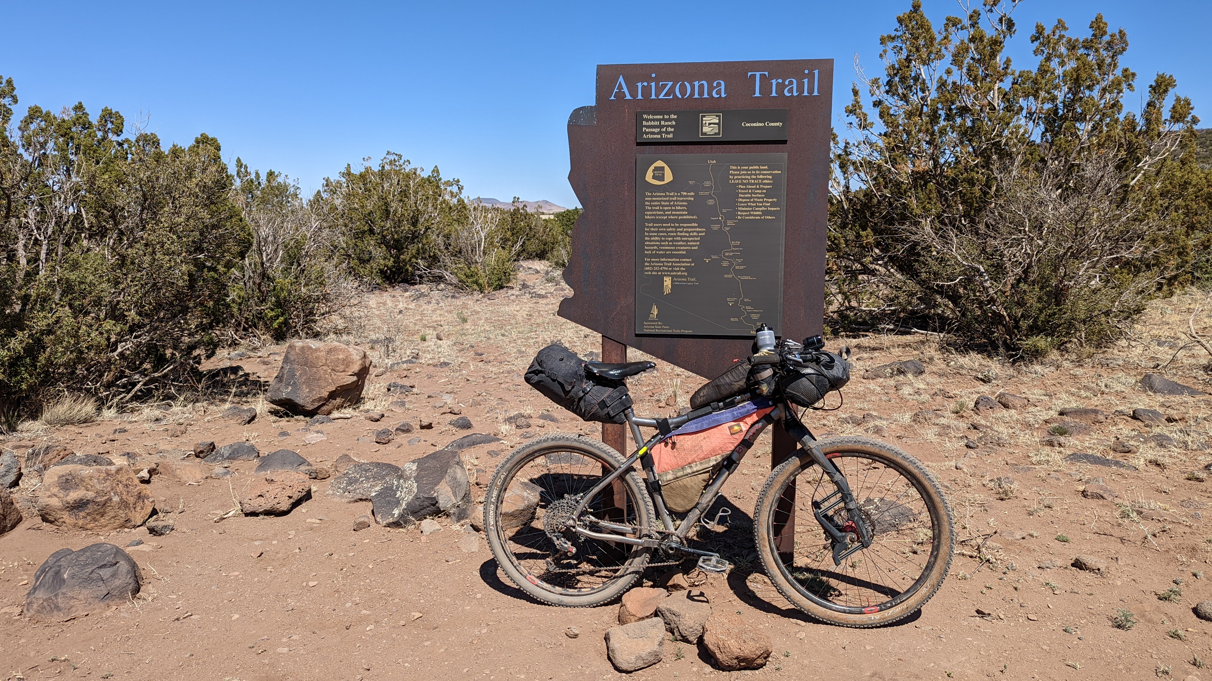
| Cedar Ranch trailhead marking the start of the Babbitt Ranch segment heading north. |
 |
| Local hangout. |
 |
| Thankful for the crosswind here & not a headwind. |
 |
| Cue the tailwind!! |
 |
| Heading east in the void the miles flew by. |
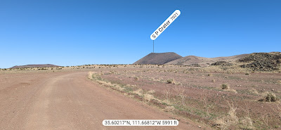 |
| SP Crater approaching, I was really looking forward to checking this area out. PeakFinder App. |
 |
| A cinder cone postcard. |
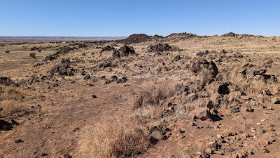 |
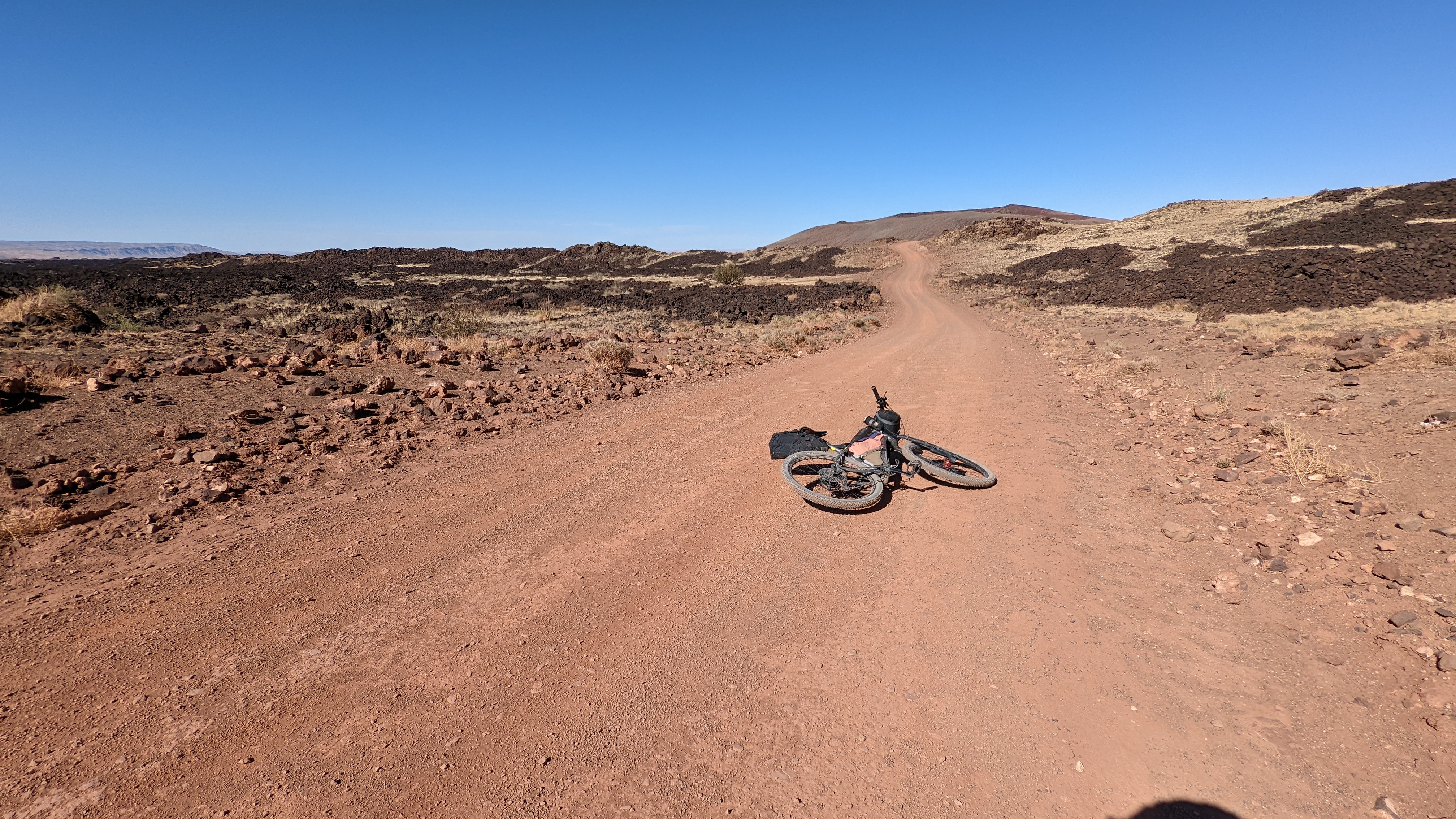
| Enter the lava field. |
 |
| About to cross over the main lava flow path. |
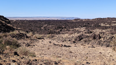 |
| The vast lava field sprawling northward. |
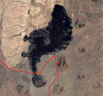 |
| SP Crater via Google Satellite imagery, route in red. |
The route turned away from the lava field near 5800', the low point of the entire route. It was still mid-afternoon and I was liking my chances of climbing far enough up the gradual 25 mile slope to rejoin the forest. I was at 56 miles on the day so far and aiming for at least 70, but I also knew I'd be leaving the published route soon due to the Tunnel Fire closure and hoped my freehand route would go.
Day 2 route flyover via Ayvri.com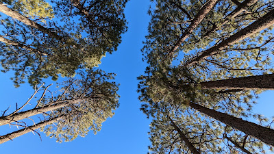 |
| Nice way to wake up. |
 |
| Slow, lazy morning as I didn't get rolling until 8a. |
 |
| Not much snow up top. |
 |
| Kendrick Peak in the crosshairs for a bit. |
 |
| Turning south, the route rejoins the trees. |
 |
| Nearing the White Horse Hills. |
 |
| One of the steadier grades on FS151 which took me to the high point at 8560'. |
 |
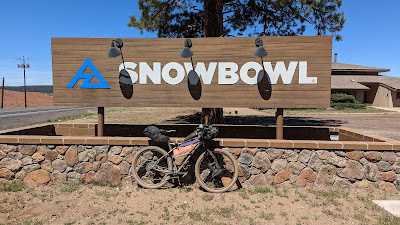
| AZ Snowbowl ski resort almost ready for summer operations. Hopefully, someday soon-ish there will be lift served mtb trails there. It's in the works, but lots of hurdles to cross. |
 |
| A second summit after a short quick blast down from the high point. |
 |
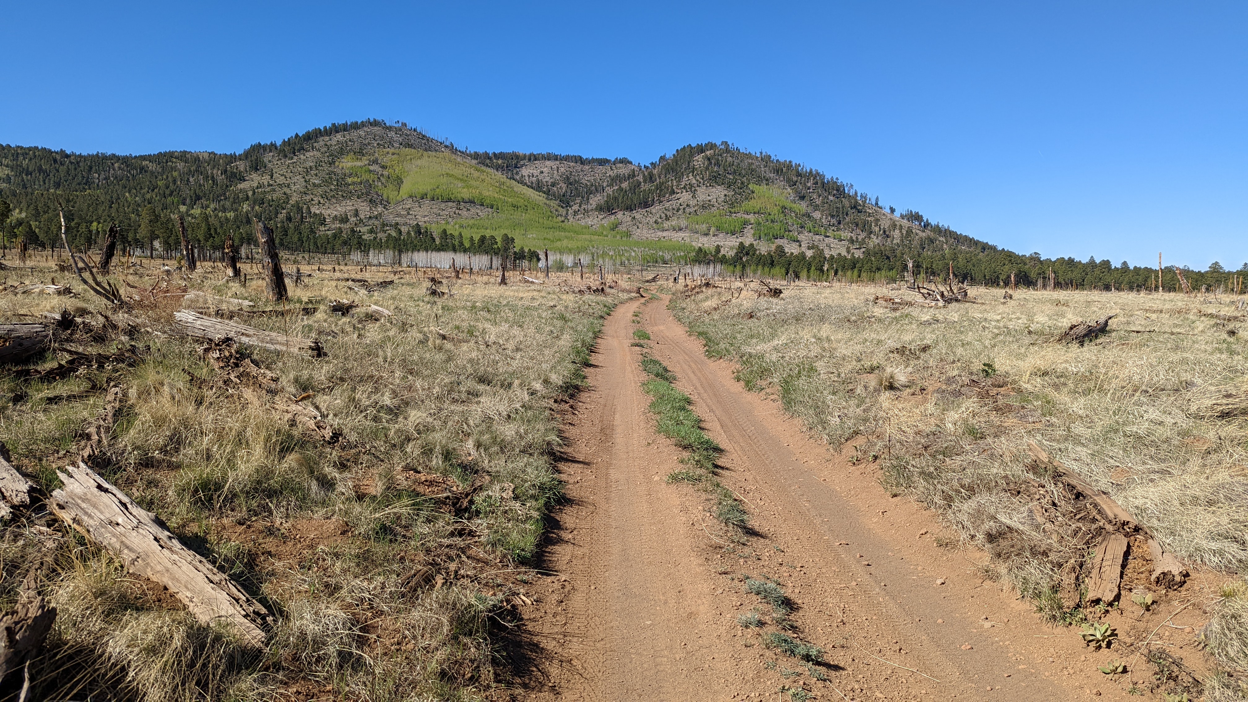
| The miles down FS151 flew by and was mostly in the aspens. |
 |
| A few smooth miles on US180 towards town, but I tried to stay off the pavement as much as possible. |
My route brought me to a popular Shell gas station and my water was getting low, but I knew I could easily finish with what I had. Instead, I planned to stop to pickup a cold chocolate milk...sold out!! It was one of the saddest gas station resupplies I could remember as far as drink selection went. Lots of popular items were sold out, but I managed to find an iced Dunkin Donuts coffee and small bottle of Coke.
 |
| Ski resort entry. |
I was at the turnoff for the ski resort, there are cabin rentals across the way and figured I could get a splash of water there. I inquired at the office and the lady filled my water bottle with ice cold agua. So good. It really hit the spot as it was getting warm out. Only a few flat-ish miles to go.
 |
| Fort Valley Rd. chunky enough to keep most of the campers away and also rocky enough to bounce my bivy out of its perch...twice!! Good thing I had it tethered. |
 |
| Home stretch. |
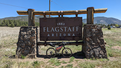 |
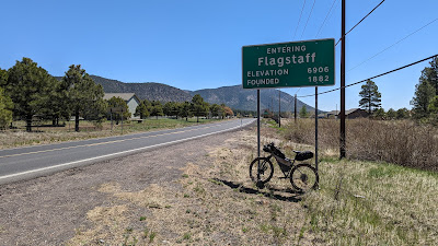
| I like these huge city signs. |
 |
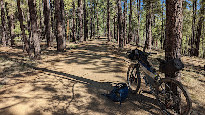
| The last bit of trail, same one I started on: FUTS - Karen Cooper segment. |
 |
| It's a really nice pathway tucked between riparian areas and neighborhoods. |
It was funny as I rolled back to Flag Bike Revolution as a handful of friends were hanging out waiting for more Pinyons & Pines racers to finish. I did get a small ovation!! Haha. I just missed the women's winner, Katie Strempke & Dylan Turner finish their rides. It was sometime before noon, so we pulled up some shade and shot the breeze while a few riders came in.
Thanks again to Kurt Refsnider for putting this route together. He always has something cool up his sleeve!!
My altered route: