I've had a good sized route for the northwest valley planned for almost a decade it seems, yet each year either forgot about it or when I remembered, it was already too hot to ride it. Originally, it had a funny acronym: STD&P for the trail systems it passed through: Sonoran North & South, Thunderbird, Deem Hills & Pyramid Peak. Fast forward to recent times and more trails have been built in the area, adding three more riding areas. The acronym no longer applied. It's just a mega loop now.
I mapped out a route that would ride the above trail systems plus Sunrise Mtn, Westwing Mtn & the Paloma Preserve. The goal wasn't to ride every trail at each system, but rather get a good sampling of each.
I opted to stage my ride from the Desert Vista trailhead at South Sonoran Mtn. Preserve. That way, I could ride the trails there, link to the North Preserve, head back through the trailhead where a cooler would be waiting with cold drinks and lunch. Then I'd head out for the back end of the ride.
 |
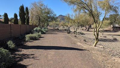
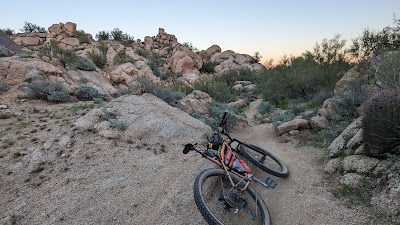
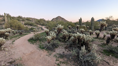
| Beautiful morning to head out on a big ride. |
 |
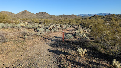
| Looping around the SE corner of the preserve. |
 |
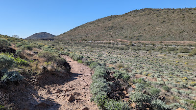
| Long stretch of flat trail leading to the North Sonoran connection. |
 |
| I was pleasantly surprised to find a dirt connection through a neighborhood. |
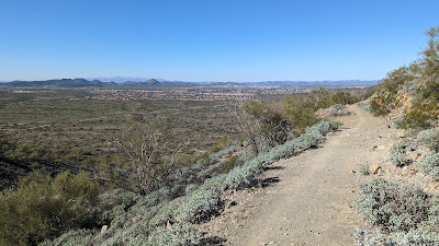
 |
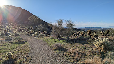
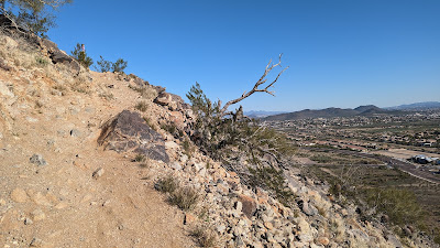
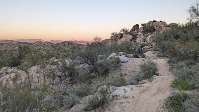
| To loop around the North Sonoran Preserve, it's either up or down!! Great views either way. |
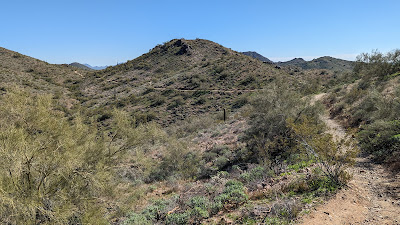
 |
| Overall, the trails seemed in better condition than my last time here. Not dumbed down or sanitized, just better maintenance. |
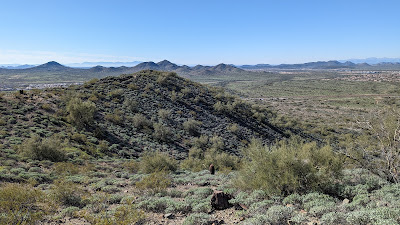 |
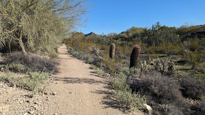
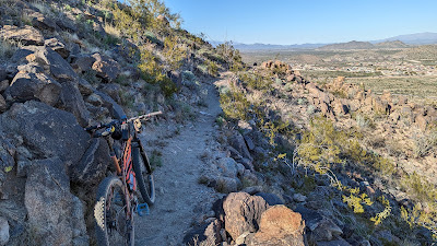
| While there's a fair amount of climbing here, the riding is generally pretty quick. |
 |
| What goes up, must come down. |
 |
| Desert Hills trailhead on the far north end of the preserve. |
 |
| Back in the Southern Sonoran Preserve, the crashed out SUV is still there. |
 |
| Both Sonoran Mtn. Preserves have some darn good riding. |
I was about 28 miles into my day, a bit after noon as I rolled back through Desert Vista trailhead. Lunch was waiting along with some cold beverages on this cool afternoon. I still had about 45 planned miles to go, but convinced myself the riding would be faster since there were flat sections connecting the adjacent trail systems.
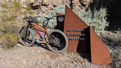 |
| The South Sonoran Preserve sign. |
 |
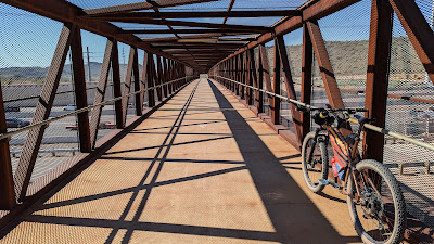
| This pedestrian/biking bridge was built many years ago and I've always wanted to use it to connect over to Deem Hills from where I spent the morning. Today was finally the day. |
Again, to my surprise it wasn't all tarmac leading to the bridge. There was dirt and what felt like actual trails leading there. My plan would be to come back this way to finish the ride.
 |
| Tunnel vision. |
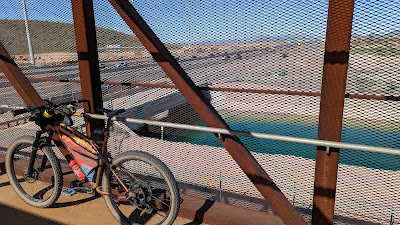 |
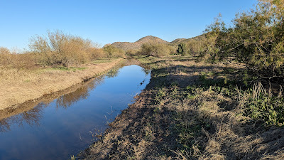
| Glad I'm not one of those cars today. CAP canal to the north. |
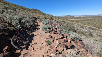 |
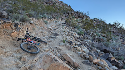
| Deem Hills is kinda known for its rocky trails. Glad to see it lived up to its billing. |
 |
| My route took me through the system on the north end, I'd return here at the end of the ride to knock out some trails on the south side. |
 |
| More neighborhood dirt connections. Nicely done. |
I did a quick mini-lap of some flat, fast trails at Thunderbird before getting to the more fun stuff. It wasn't anything to write home about, but I felt like spinning out a fast mile.
 |
| I tried to avoid the nasty hike-a-bike chunk at Thunderbird park, only walking a few hundred feet. I'll call that a win. |
 |
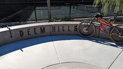
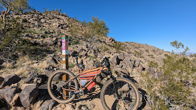
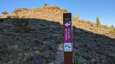
| Keeping with the trail system signage photos. |
 |
| A little bit of road riding brought me to the paved New River Trail. |
The New River Trail took me north to W. Happy Valley Rd. From here, I'd be riding a few trail systems I had never been to. The first of which was Sunrise Mtn. Preserve. In hindsight, I probably should've asked a few friends who live in the area for a good route through each of these areas. What fun is that, though? Instead, I opened Trailforks and drew a route through each, determined to ride what I planned. I'm dumb like that.
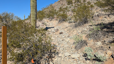 |
| Lesson #1: Avoid Miner's Ruin trail, especially from the west end. |
It was an odd area as it appeared the trail began at the end of someone's driveway. There were signs posted about no trail access, so I went back out to Happy Valley road and crawled up the steep embankment to access the trail. Then the hike-a-bike started and holy moly was it steep and loose. Finally at the top, the payoff was ok, not worth the squeeze IMO. Maybe ride the trail from the east end to the high point and turn around?? Or continue down the steep section to ride another trail in the area, Coyote Draw. Dunno.
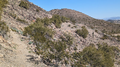 |
| At least the view from the highpoint wasn't too shabby. |
The next trail I chose to climb was Mine Shaft Pass, it was rated blue, but led to some black trails. I figured I'd check out the toughest trails on my first visit. Remember: I'm dumb. The climb was fantastic. It was well contoured, good switchbacks, the whole deal...until the last 50 feet...
 |
| Oof!! I thought I could clean the whole climb, but this final pitch up to the post told me otherwise. |
 |
| This will have to suffice for a system trail sign. |
 |
| Oh, hell yeah. Now I'm glad I took the black trails. |
 |
| Hmmm, maybe not. This is why they are rated as black trails. More hike-a-bike. |
The hiking wasn't' to bad or long, but it broke up an otherwise great piece of trail, not once, but three time IIRC. Afterwards, a buddy chimed in with a better route: Do an out-n-back on the Mine Shaft Pass climb, then climb the blue trails on the west side of the system to skip the hike-a-bike bits.
I missed one turn as I exited Westwing Mtn. which resulted in me turning around to walk back up to the trail split.
 |
| Back on route!! |
In hindsight, I should've gone around Westwing Mtn. to the west, hopping on Crankset trail. The good news is, they are currently building new trails on the north side of the mountain.
 |
| Believe it or not, this is marked as a multi-use path, perhaps the other users are kayakers?? |
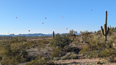 |
| Lots of hot air balloon activity from the Compass Rose trail in Paloma Preserve. |
 |
| The Granite trail was a fun ride through Paloma Preserve. |
This trail led me to a small trailhead where I'd follow trails, aka ATV tracks, to the northwest around a buried section of the CAP canal. From there I'd be following the trails in the Pyramid Peak area. No signage here, pick a trail and go!!
 |
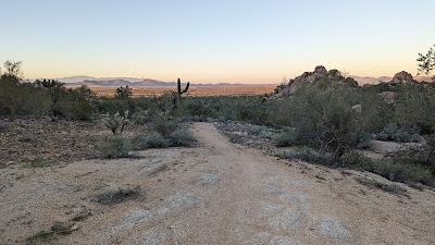
| I was hoping to get through Pyramid Peak without needing my lights as the scenery here is top notch. |
 |
| The riding is pretty ok too. |
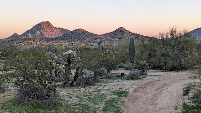 |
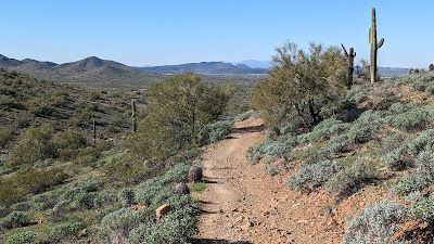
| The namesake, Pyramid Peak on the left. It was a good visual landmark all day, sometimes seeming incredibly far away either to the south from North Sonoran or to the north from Sunrise Mtn. |
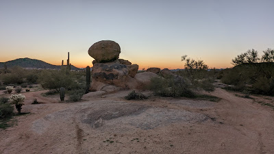 |
| Balancing boulder. |
 |
| I made a deal with myself, get beyond Pyramid Peak before turning on my light. |
There's good news and bad news here. The good: I made it beyond the peak before needing my light. The bad? I forgot to check to see if my light was charged before the ride...it wasn't. No light. Hmmm.
Keep moving!! I've ridden out here enough to know the final miles leading back to Deem Hills are relatively tame, smooth-ish and wide. Of course there was no moon this evening. I did come upon a light up ahead, but it was a mom out walking next to her kid with a bike light. I needed to move quicker than that, so I passed on by. A few minutes later, after riding by Braille for a bit, I popped out at the lighted Deem Hills trailhead. So much for taking more trails back to my car!!
Thankfully, my tail light was working as I now had to resort to the busy lighted roadways to finish up. Not exactly what I had planned, but it worked.
Funny part of all that is, I have a dynamo setup which typically means I have unlimited lighting. Well, my wire harness had broke, so it was in for repairs. My helmet light is an Exposure Diablo, works fantastic...when charged, but I had left it in my cold garage and car the past couple of weeks and I'm sure that's what drained it. Oops.
In the end, I'm really glad I finally did this route. Lots of great trails and minor tweaking to make it a truly stellar route.
Route:


No comments:
Post a Comment