A few years ago Kurt Refsnider went out to the Kofa Nat'l Wildlife Refuge (NWR) and scouted out a nifty looking bikepacking route. I had never been there, but had seen some beautiful photos of the area from a few friends over the years. It's just far enough away that it tends to fall off my radar. Then, last year more friends rode the route, but it was nearing the end of the ride season out there and my schedule didn't allow me to sneak in a ride.
I made it a point this winter to head west, especially with all these recent storms. I knew water wouldn't be an issue over there. I put out a call to a bunch of friends, but almost everyone had other plans already or just couldn't make it. Everyone, except Evan. He'd come over from San Diego and it happens to almost be halfway between the two of us. It's a four hour drive for Evan and three for me. We were set.
Kurt's route was right at 200 miles and included a few peak hikes. I noticed he had marked a shortcut on his map and when I asked which of the three hikes were a 'must do', he said Signal Peak without hesitation. So, it was set. We'd hike Signal Peak, check out Palm Canyon and ride the shortcut route for a 160 mile loop in three days. Here's the planned route via ridewithGPS.
I've had a few friends ask me where the Kofa NWR is located. It's west of the Phoenix area over near the California line south of I-10 & Quartzite.
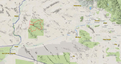 |
| The red squiggles are our route, Kofa is the green area around it. |
Kofa is short for King of Arizona, namely the Kofa Mine which is near the center of the refuge and our route would pass by it. That would be on day 2.
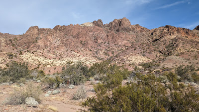
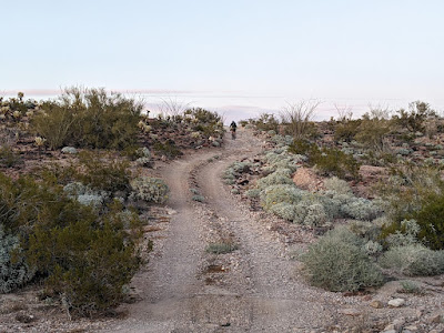
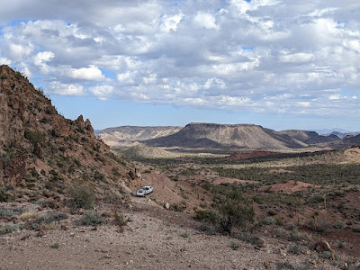
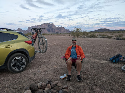
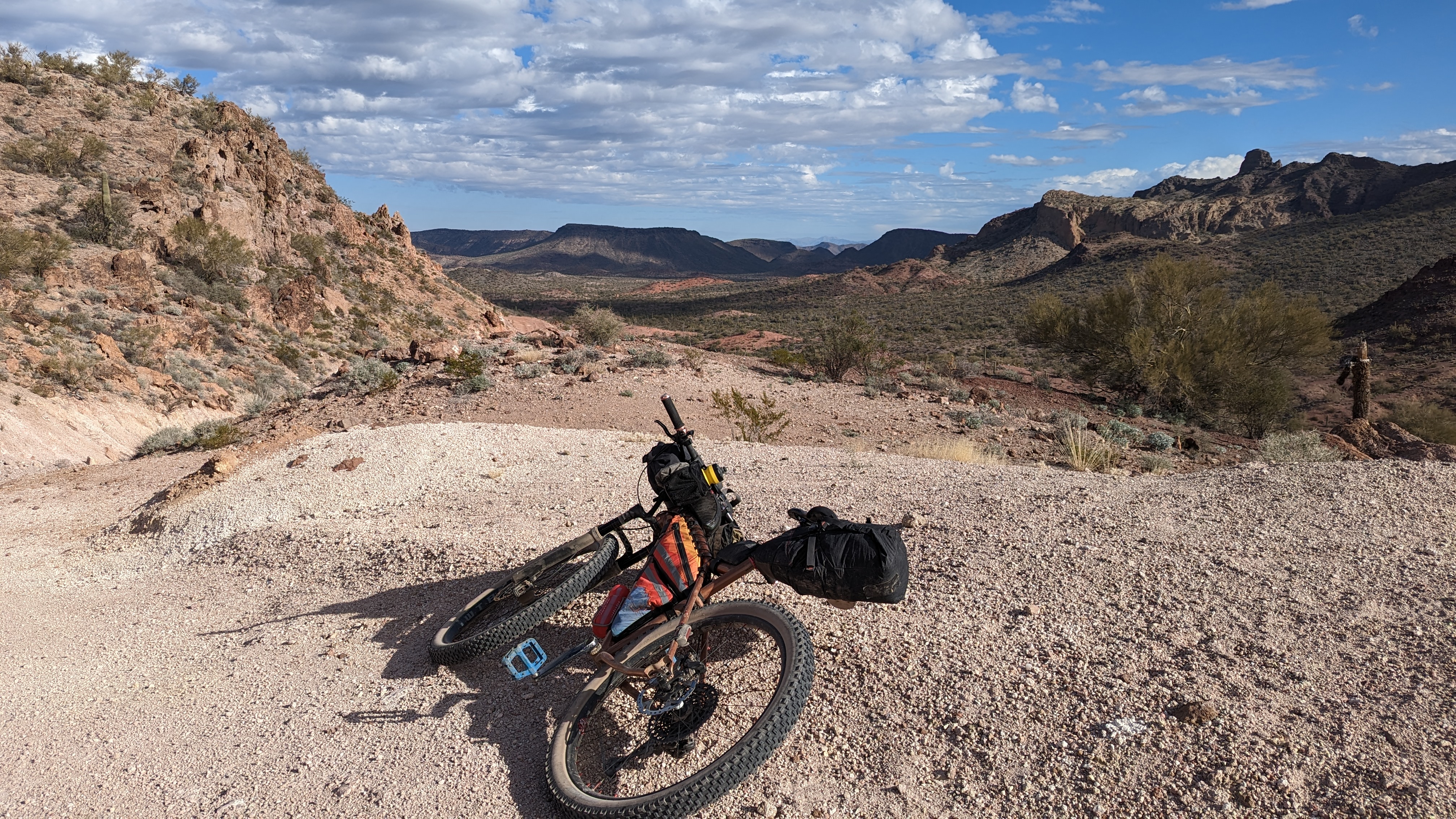
We staged off Palm Canyon Rd. on the west side of the loop with the plan to hike Signal Peak first on fresh legs, then do Palm Canyon before riding out to our first campsite. Our goal was about 55 miles each day.
Day 1: Signal Peak
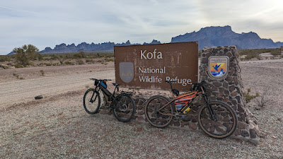 |
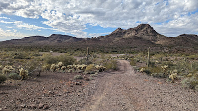
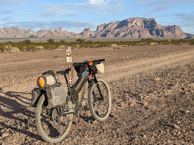
| Entering the NWR less than a half mile from where we staged. |
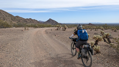
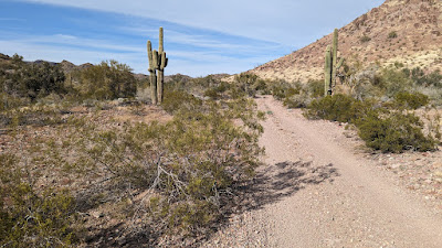
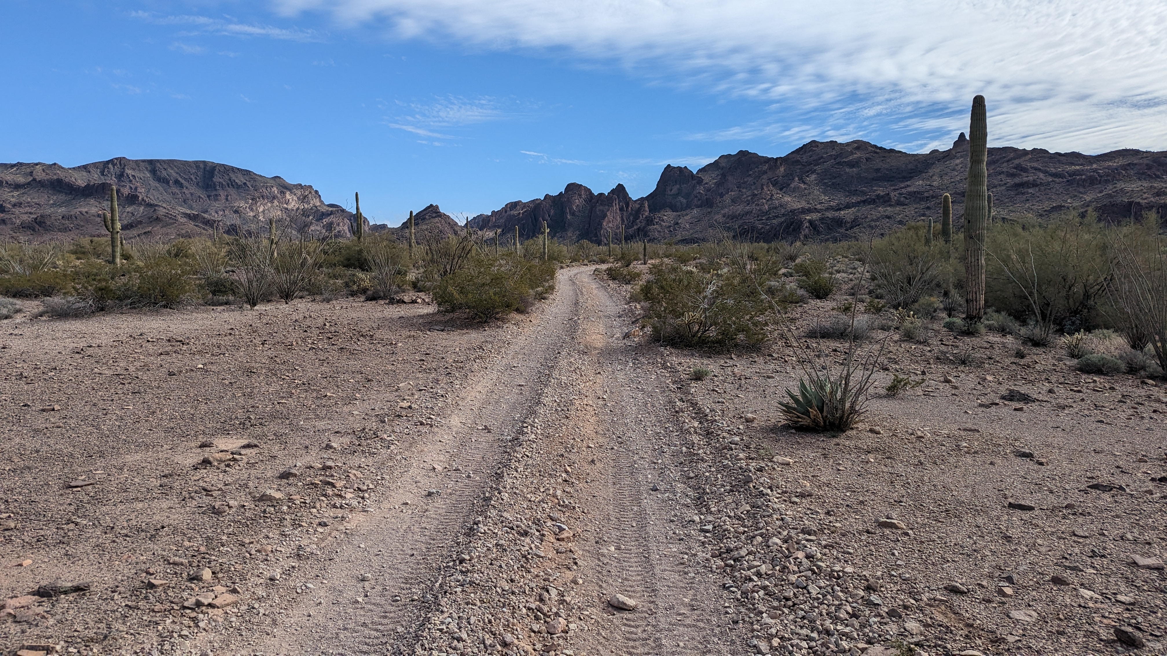
It was a little before 9a when we got rolling. It was rather chilly too, hovering in the low 40's. I rarely ride in full finger gloves, but today was a good day for it, plus I thought it may be a good idea for the hike up Signal Peak. Puffy jacket went along too. We left the bikepacking gear with the vehicles since we'd be passing back through in a few hours.
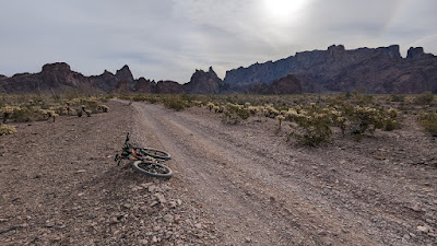 |
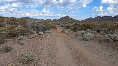
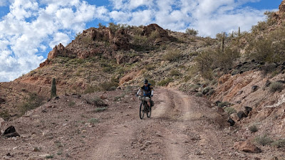
| It was mostly uphill to start, but a very relaxed grade on a good riding surface. |
 |
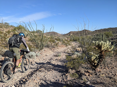
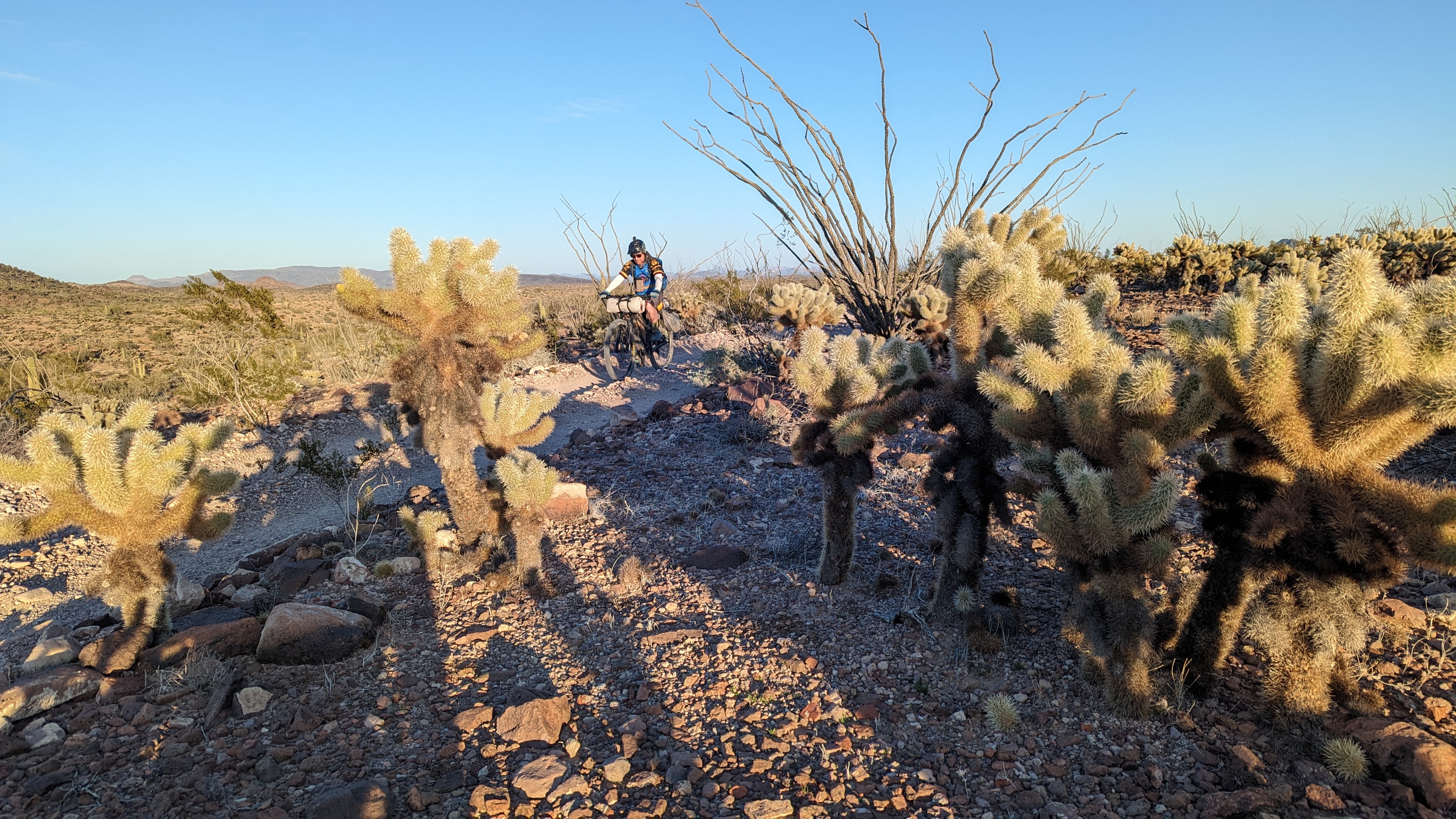
| Cholla abound. |
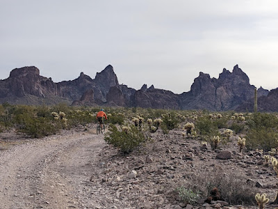 |
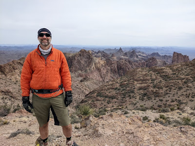
| Ruggedness approaching. Photo by Evan. |
 |
| We're parked right there!! Photo by Evan. |
 |
| Peaks to the north. PeakFinder app. |
 |
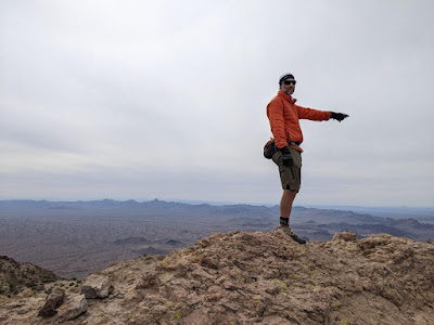
| Summit photos complete, down we go. |
 |
| My turn. Photo by Evan. |
 |
| Colorful lichen abound. |
 |
| The challenge of the downhill was watching your footing on the loose rock. |
 |
| Leaving Kofa Queen Canyon. Photo by Evan. |
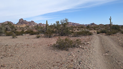
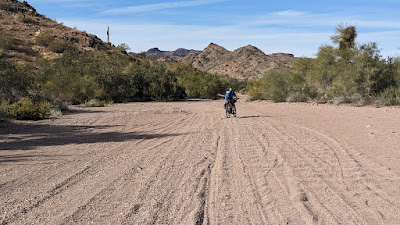
We made it down without incident. The ride back to the staging area went by quick as it was mostly downhill. Overall, the hike and missed turn took much longer than anticipated. Well worth it though. We opted to bypass Palm Canyon for now, leaving that for Sunday. We wanted to get close to the next water source and it was already mid-afternoon.
 |
| Photo by Evan. |
 |
| Riding towards a small pass. Photo by Evan. |
 |
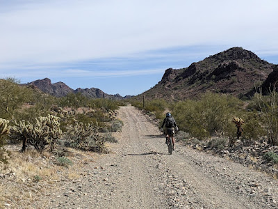
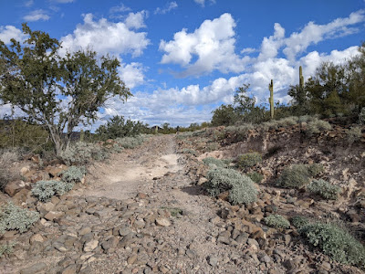
| A series of 'softer' jeep roads slowed our progress a bit. |
 |
| Starting to put the Kofa Mtns. behind us. Photo by Evan. |
 |
| Then we'd hit some fast hardpack stuff. |
 |
| We were now on the eastern side of the range, about to make the turn north. |
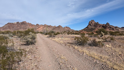 |
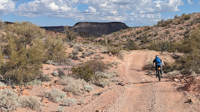
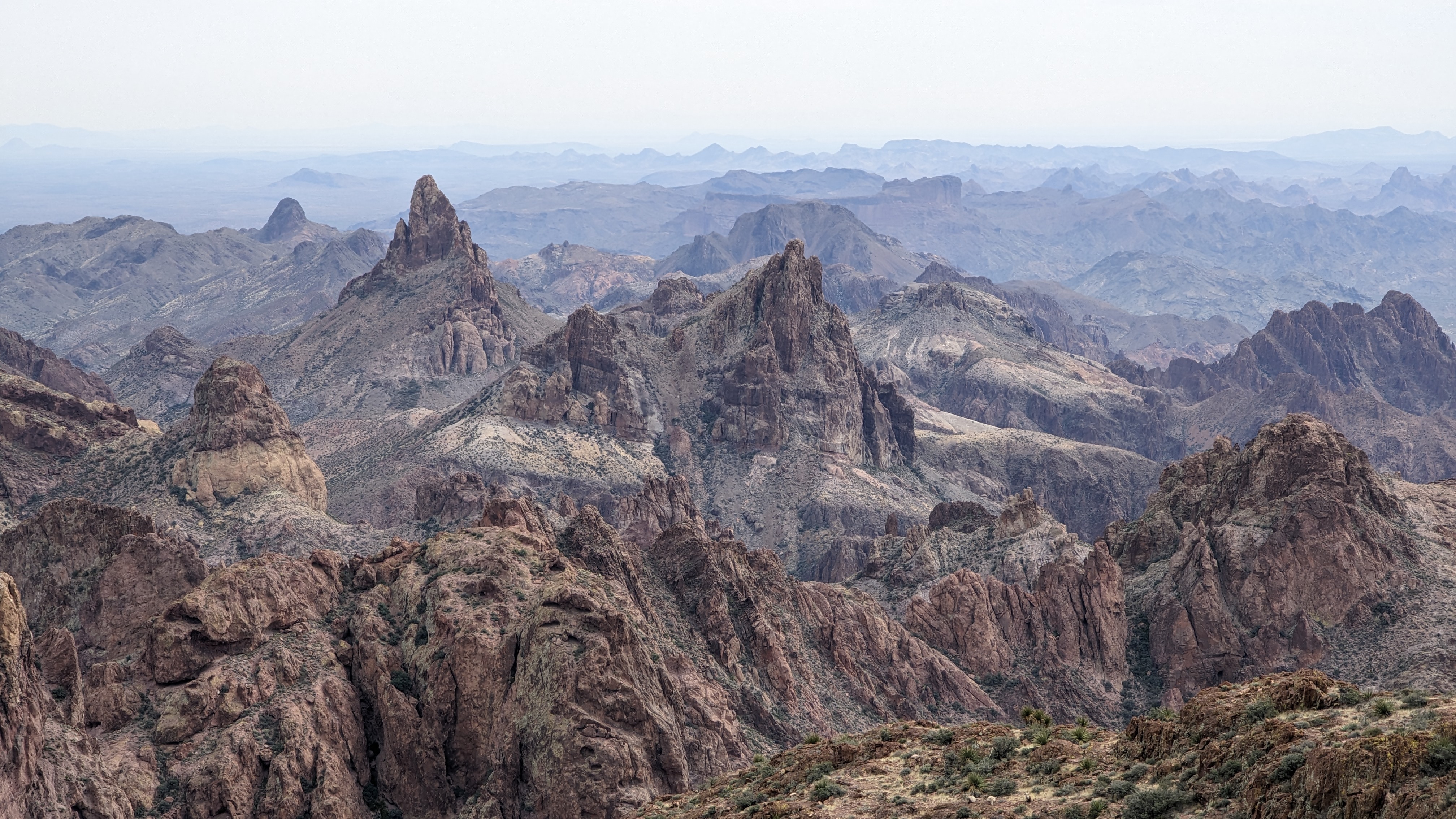
| The topography began to astound once again. |
 |
| Colorful landscape in full surround. Courthouse Mtn. here. |
 |
| We were on high Bighorn Sheep alert, but still no sightings. |
 |
| Soaking it all in. Photo by Evan. |
 |
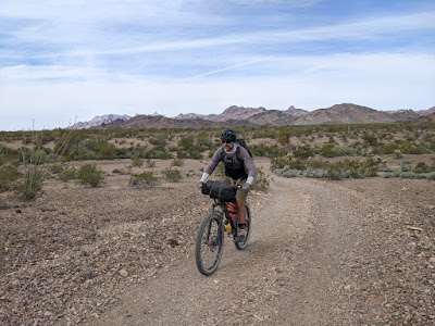
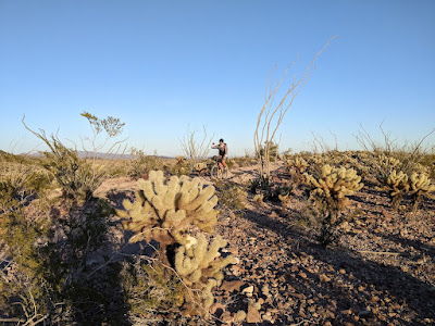
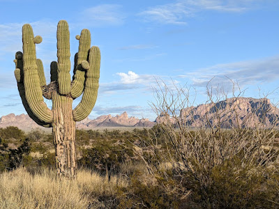
| Elevation tops 1500', back in the land of cacti. |
 |
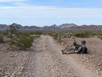
| The cue sheet was right: soft riding for the next couple of miles. |
 |
| After a mile of pedaling through soft sand & gravel, we opted to walk a bit. If only to do something different. It felt good to get off the saddle for a few minutes. |
 |
| Hike-a-bike!! Photo by Evan. |
 |
| One final actual hike-a-bike up a steep pitch to Engesser Pass. |
 |
| Glad to be on a MTB for this route. Photo by Evan. |
 |
| Yep, fist pump worthy. Photo by Evan. |
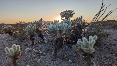 |
| Looks great in photos, but don't touch!!! |
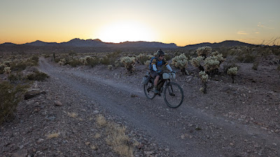 |
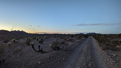
| Last rays of light for day 2. We both agreed we should do a few miles of night riding to see if the cabin was available. |
 |
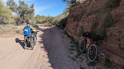
| There were a few good climbs tucked in here. Photo by Evan. |
 |
| Over the past few miles the riding surface had improved and our pace quickened. |
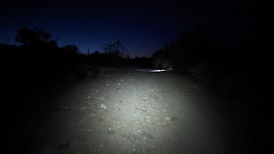 |
| Some night wash riding. |
We saw some lights off in the distance and as we got closer we figured there was a group camped at the cabin. We crested a small hill and found it was just another 4x4 group camping in the desert, the cabin was still about a mile away.
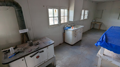
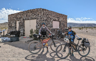
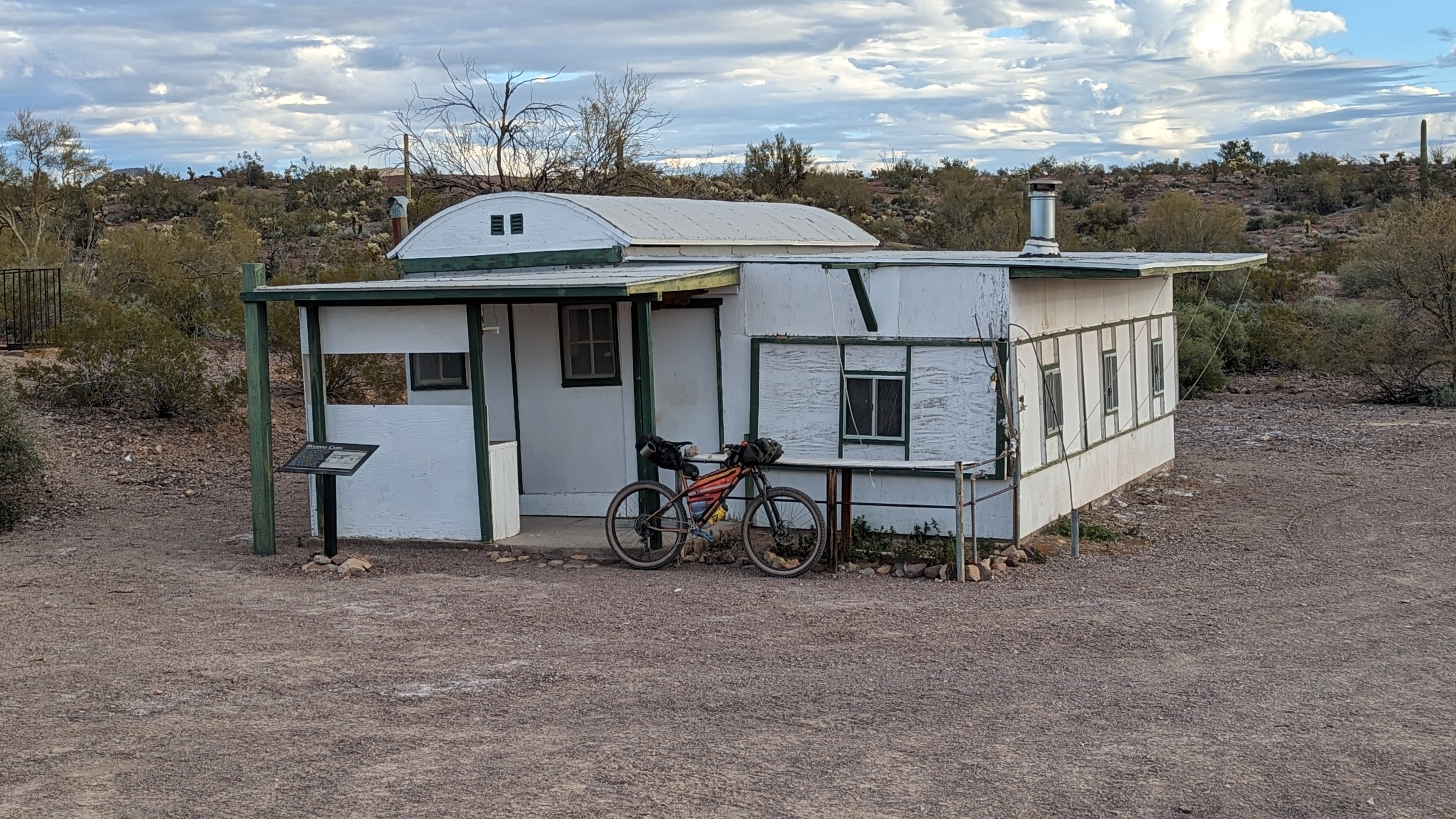
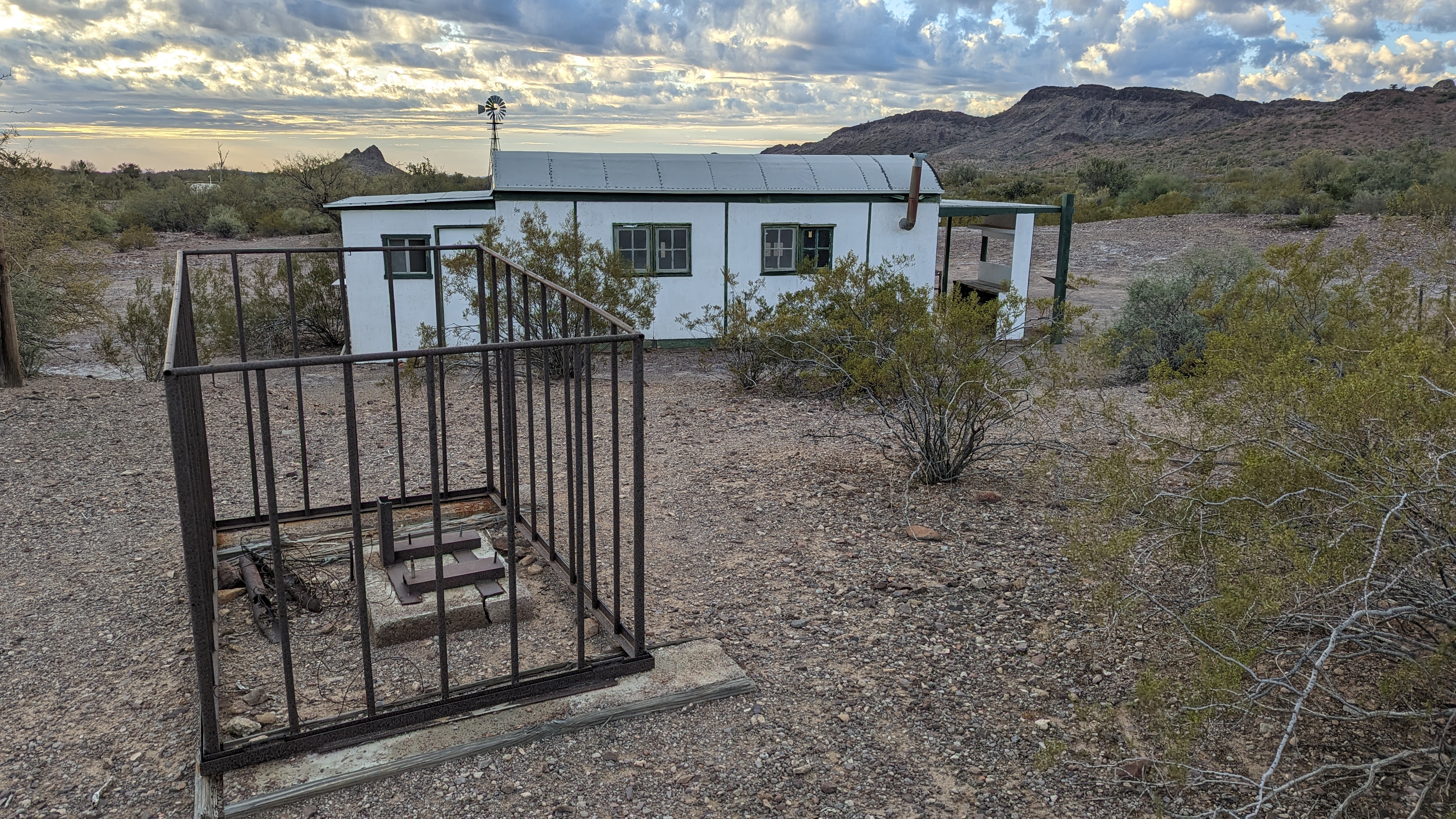
When we reached the turnoff for Hoodoo Cabin, all was quiet, dark. We liked our chances and sure enough the cabin was vacant. Score!! It was a good 10° warmer inside and no wind, although it was only a light breeze outside. It was a spacious place, large open area with bookshelves, two metal frame beds, kitchen, bathroom...but no running water in spite of the plumbing fixtures.
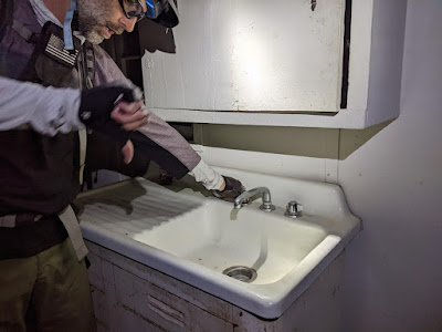 |
| Where's the water?? Photo by Evan. |
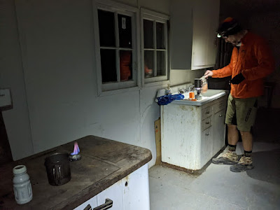 |
| The kitchen served us well. Photo by Evan. |
We settled in, cooked dinner and cracked open a beer. A little while later a group of 4x4s drove in probably thinking they too scored an empty cabin since our bikes were inside. They could see our headlanps, made a u-turn and drove off after a minute.
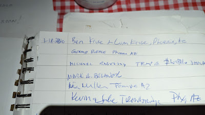 |
| Flipping through the sign-in register I spotted a few friend's names. Haha. |
We managed 56 miles on the day, but it felt like a bit more. That left another 56 to wrap things up the next day.
Day 3: Hoodoo Cabin to the Finish
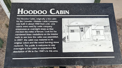 |
| 1940 kit cabin. Not too shabby. |
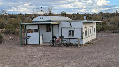 |
| Glad we were able to experience a night here. |
Neither one of us slept particularly well, Evan because his pad kept going flat and I couldn't shut my mind off for the longest time for some reason. I often find when I can't sleep, if I can just lay there with my eyes closed I get good rest. It works for me.
 |
| Photogenic morning clouds over the well. |
 |
| Breakfast!! Photo by Evan. |
 |
| Not sure what this base structure is. I thought it was a grave until I had a closer look. |
 |
| A bag of charcoal ready for use. |
 |
| The kitchen looked the part, but wasn't functional. Worked great for us though. |
 |
| It was nice to add some chili powder to my dinner. |
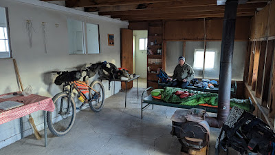 |
| Roomy interior. |
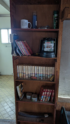 |
| Travel books from every state too. |
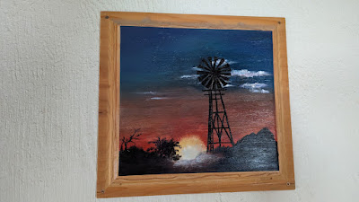 |
| Some artwork as well. |
 |
| Just for show. |
 |
| Climbing the short hill away from the cabin & well. |
 |
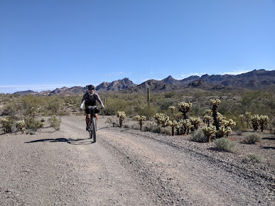
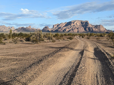
| Less than a mile up the route we started the shortcut option on great roads. |
 |
| Looks like a climb is coming. Photo by Evan. |
 |
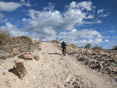
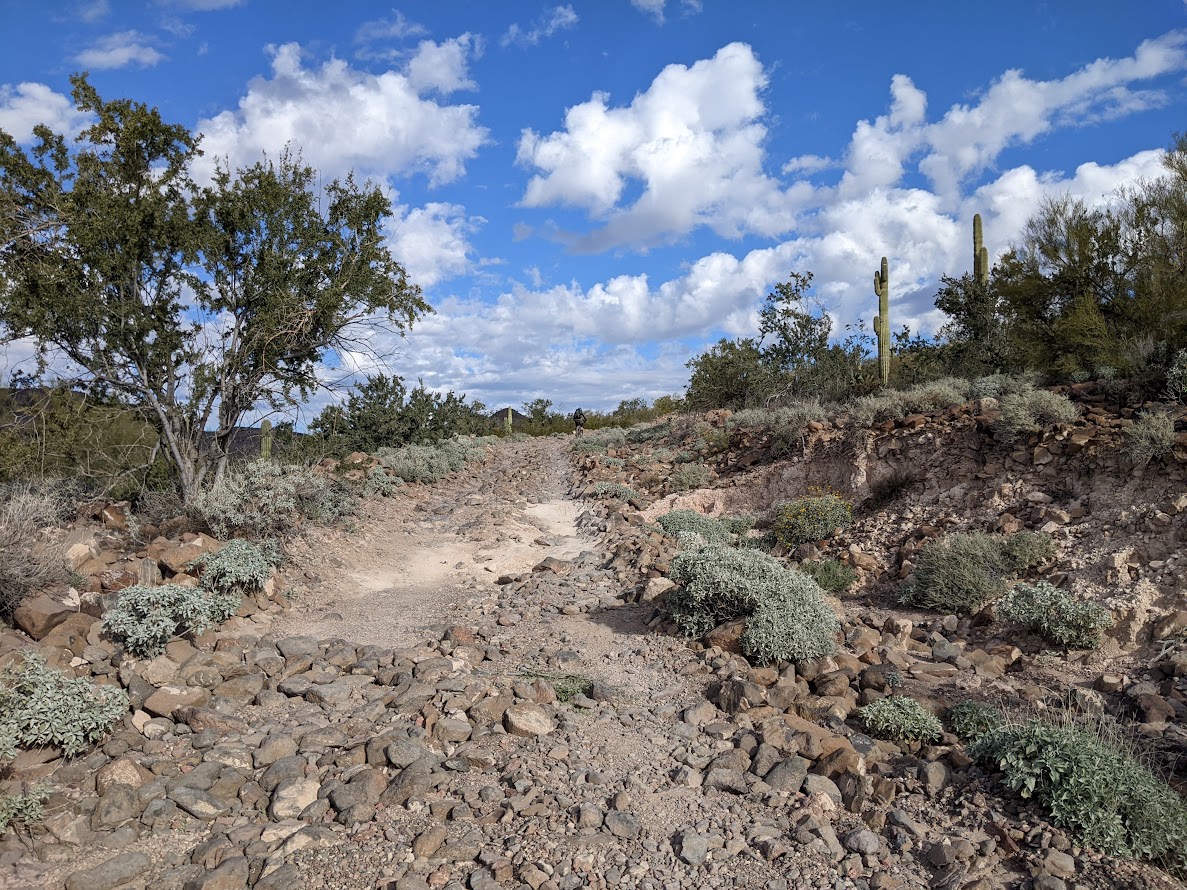
| A little bit of chunk for a couple of miles, but rideable. |
 |
| Mmmm, rocks. Photo by Evan. |
 |
| I didn't expect to ride the whole thing, only needed one quick stop. Photo by Evan. |
 |
| Thanks for the water!! Photo by Evan. |
 |
| A real downhill!! |
 |
| The initial descent off Red Rock Pass was super fun. |
 |
| So far, we were loving the shortcut option. The riding was generally fast and the scenery was on point. |
 |
| Photo by Evan. |
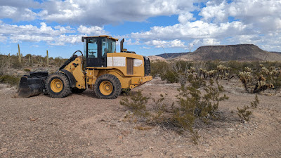 |
| Random roadside bulldozer. |
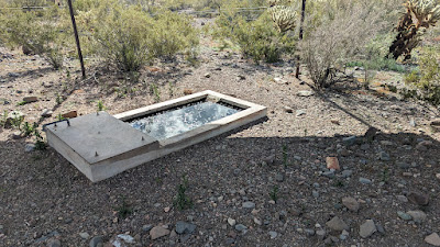 |
| Our intended water source: Craven Well. |
Really glad we didn't have to filter water here. The water itself looked fine, but it was not only loaded with dead bees, but it was borderline swarming with live ones!! And we're outta here. Thanks again Tacoma guy!!
 |
| Entering the flatlands. Photo by Evan. |
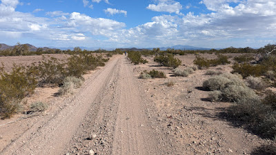 |
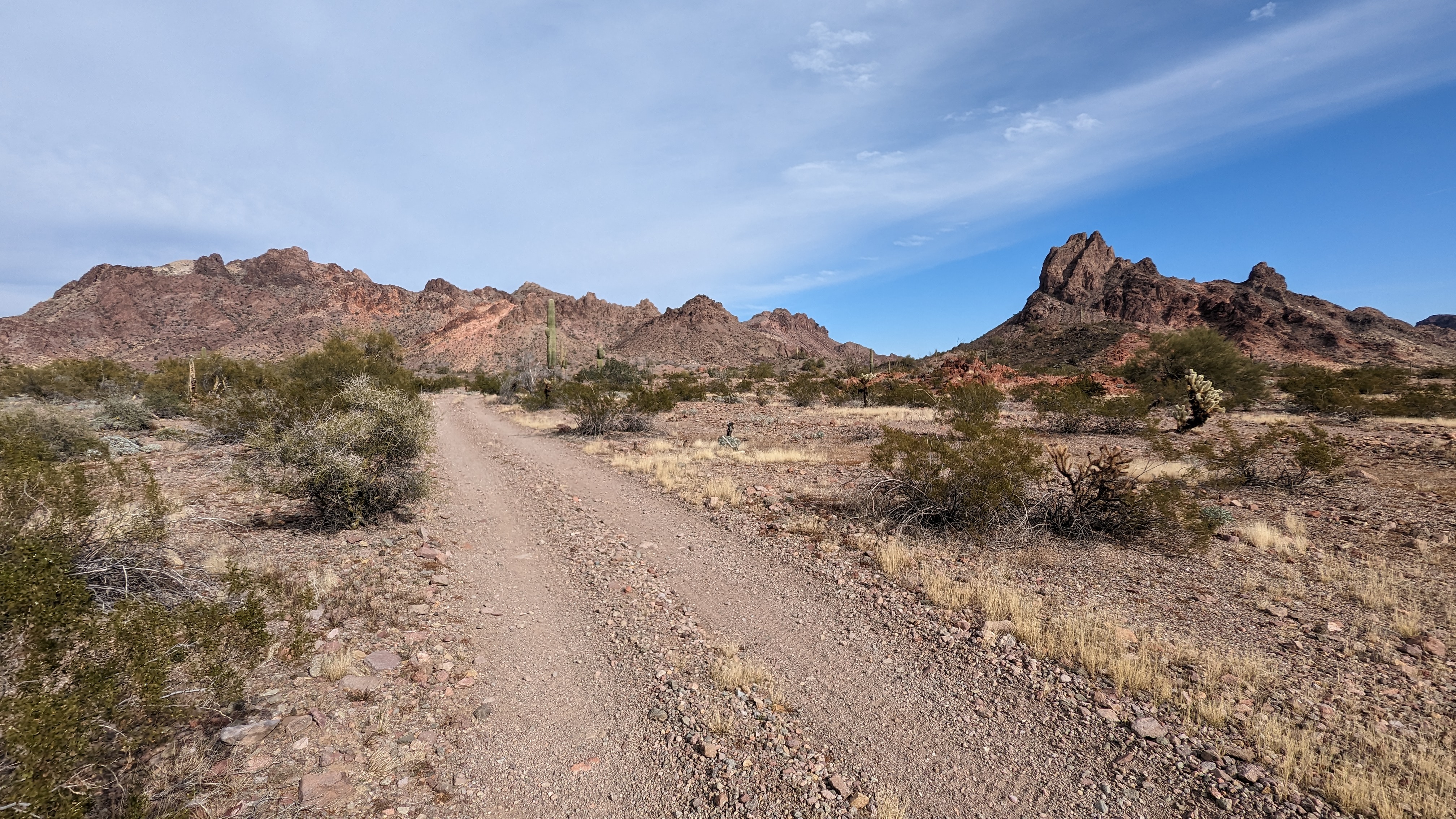
| Exiting the mountains, the route flattened out, but was still fast riding. |
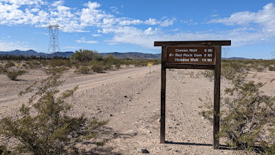 |
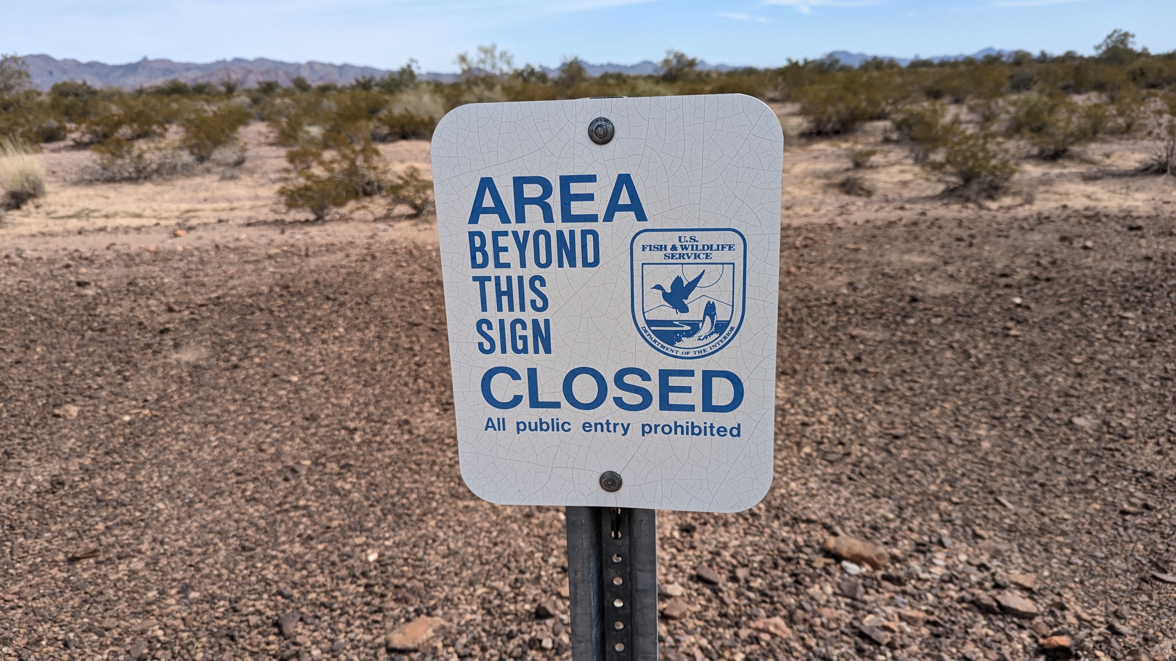
| The signage was a bit better on this side of the refuge. |
 |
| We removed a few torn off SXS flags that were snarled in the roadside cacti. Photo by Evan. |
We made the turn west here and picked up a slight tailwind.
 |
| Kofa cabin. Glad we didn't make it here for camp as it was occupied by a group of motos from Cali. |
Plus, it's more or less right on a main road. The few minutes we were there talking with the group a couple other small groups showed up to check the place out.
One guy we were chatting with was from Prescott, AZ. He was telling us how one of his moto buds got off his line the previous day and clipped a boulder breaking his foot. It took a few hours, but his friend was airlifted out. We had heard a helicopter the night before, must've been the one. He also mentioned how he mountain biked a lot in Prescott and asked if we knew of Kurt. Small world.
 |
| Evan's view. |
 |
| Oooo...aaahhhh. Photo by Evan. |
 |
| Good sized nest in there. Photo by Evan. |
 |
| Not the gas line rd.!! Photo by Evan. |
I was holding out hope to have enough daylight to check out Palm Canyon since we skipped it on day 1. As I got closer to the car the sun was sinking fast. I only had about 30 minutes before sunset and it was at least a 4 mile ride up to the trailhead, then a hike followed. Maybe I could just drive there quick and do the hike?? By the time I reached the car I didn't think I'd have enough time to see it. I did recall us missing the Spiral Labyrinth on day 1. It was really close to the car and Google satellite maps verified this.
 |
| Spiral Labyrinth in golden hour. Glad I checked this out. |
Evan rolled in a few minutes later and I told him to go check it out before the sun set. He did and I sat back and enjoyed the show.
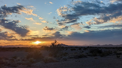 |
| Another crappy Arizona sunset. Do these ever get old? No. |
 |
| Done. Beer me. Photo by Evan. |
I opted to hit the road since I wasn't too tired and could be home at a reasonable hour. Palm Canyon will have to wait until the next visit and there will be one. This was such a cool area to ride through and the riding wasn't difficult at all. No Bighorn Sheep sightings, bummer!! In fact, we didn't see much wildlife at all, maybe two birds.
That's another adventure in the books with Evan, we've done some really cool rides over the years. I think I'm due for another SoCal tour with him. Evan stuck around for another day and did hike up Palm Canyon. He also took his moto out on a scouting ride on a different dirt road and confirmed we rode the correct route!!


No comments:
Post a Comment