The Highline Trail metamorphosis is almost complete. After completing this ride it's hard to imagine how feared and loathed this section of the overlapping Arizona Trail, AZT, was. Miles upon miles of steep, awkward, janky and overgrown hike-a-bike has been replaced with swoopy, fast, flowy?? trail?? Yeah, it's crazy to think if you 'rode' the previous version. It's now a destination trail in rim country.
For this ride we debated setting up a shuttle, but in the end we all agreed to make it a loop starting at the Pine trailhead. We would ride 20 miles east on the Highline trail to the Washington Park trailhead, that's where the AZT leaves the Highline to begin its assault to the Mogollon Rim. That's muggy-OWN for those unfamiliar with the pronunciation. We would then return to Pine via the dirt Control Rd.
Kelly and Mike joined the fun for this one. It was Kelly's first time on this section of Highline and Mike had been on a much less bike friendly version a few years ago.
 |
| This is now the norm, not the exception. |
 |
| Putting the final touches on it. |
 |
| Ran into Matt Roberts of Flagline Trails, one of the major builders involved in this project. Flagline Trails have been putting their stamp on great trails all over the state. Thank you!! |
 |
| While this does look easy, and many miles were, there is plenty of climbing. It's just at a rideable grade now. |
 |
| Talk about sucking you in. We were in constant awe. |
 |
| Not only great tread, but a nice clear corridor. |
 |
| As the miles ticked off towards Geronimo Trailhead, the flow increased. |
It's funny to say, but I had to actually use my brakes to slow down a few times, even caught a bit of hang time on some rollers. Stupid fun.
 |
| Mike digs it. |
 |
| Kelly taking off on an extended downhill. |
 |
| Panoramic Rim view. |
 |
| Whew!! They left a few feet of hike-a-bike for the legacy crowd!! |
 |
| Mike having a brief Highline relapse. |
 |
| That's better. |
 |
| A little bit of a Flagstaff feel here. |
 |
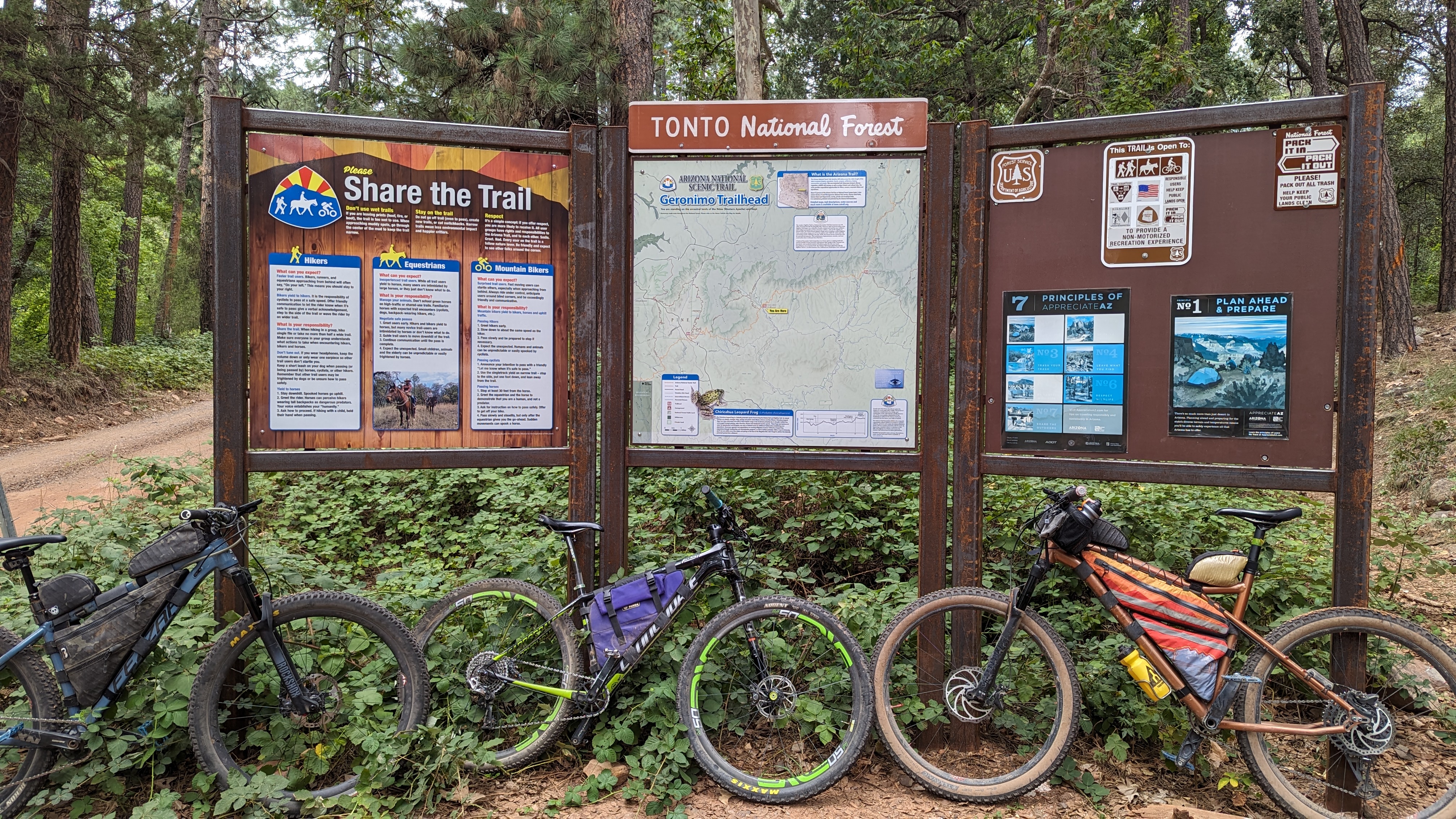
| Geronimo Trailhead. I know both Mike and I were shocked at how fast we arrived here without even trying. |
 |
| Wormhole to Sedona's Red Rock Country. |
 |
| These climbs have grip. |
 |
| We have a leaker!! |
 |
| Nearing the recent burn area. |
 |
| Kelly rolls through a surreal landscape. |
 |
| Thankfully the burn area was short lived. The tread was fine, for now. Erosion will be the next challenge. |
 |
| Charring gives way to greenery. |
 |
| Washington Park is around the bend and in front of the far cliffs. |
 |
| The vastness of the Sierra Ancha Mtns. |
 |
| A much more friendly drainage crossing. |
 |
| No fish for you!! |
 |
| Chase Creek was flowing nicely too. |
 |
| I believe this section of Highline was worked by Proline Trails. |
 |
| These are the fancy Highline blazes instead of the plain diamond. |
 |
| Red dirt in the forest. |
 |
| The East Verde River at Washington Park. We made it!! |
It took us a little over 5 hours to traverse the now 20 miles, the curves and switchbacks of the re-routes added another mile from the previous 19, from Pine to Washington Park. When I rode this section back in 2016 during the AZTR750, it took me 9 hours. I imagine fast, strong riders could do this under 3 hours if properly motivated. It is now a destination worthy trail.
Kudos to the Tonto Nat'l Forest, the Arizona Trail Association, Flagline Trails, Proline Trails, the volunteers and everyone else who had a hand in making this transformation become a reality. The full Highline trail is 50 miles, the AZT portion is the far west end of the trail. There's about 10 miles or so west of the Tonto Fish Hatchery that still needs work. That is scheduled to begin soon. When complete the entire 50 mile trail will mostly be revamped. It'll make for a great bikepacking ride.
 |
| Here's the full Highline trail and the arterial trails. |
Route:


Thought it was mow go lawn this whole time ;)
ReplyDeleteHahaha!!! Right.
DeleteHey John, if you were to do a couple hour out and back from the Geronimo trailhead would you recommend going east or west from there? Thanks
ReplyDeleteEither direction would be fine, both start with a climb, so would finish with a downhill. I guess I'd probably go west, towards Pine, as there was a longer more flowy downhill along that section. That would be on the return to Geronimo.
DeleteHighline looks pretty inviting. Not the chunk it was when I rode it in 2018!
ReplyDeleteYour photo captioned "Panoramic Rim view" is taken in exactly the same place as my chunk photo. I took mine because I wanted to remember how I was actually able to ride that chunk on a fully loaded bike. It looks much more inviting now! https://daveycrocket.smugmug.com/AZTR750-Race-2018/n-XZgJK3/i-CJDZZPW/A
Yeah, that's almost the identical location. Good eye!! So much of the route has changed since 2018, it's a completely different experience.
Delete